Melbourne to Canberra is about 652 km and 7 h 53 min of driving on the Hume Highway to Yass and the Barton Highway into Canberra, by OSRM routing. The two alternatives, over the Snowy Mountains or along the Monaro Highway from the south coast, add roughly 80 to 100 km and are for drivers who want the mountains or the coast.
Melbourne to Canberra routes compared
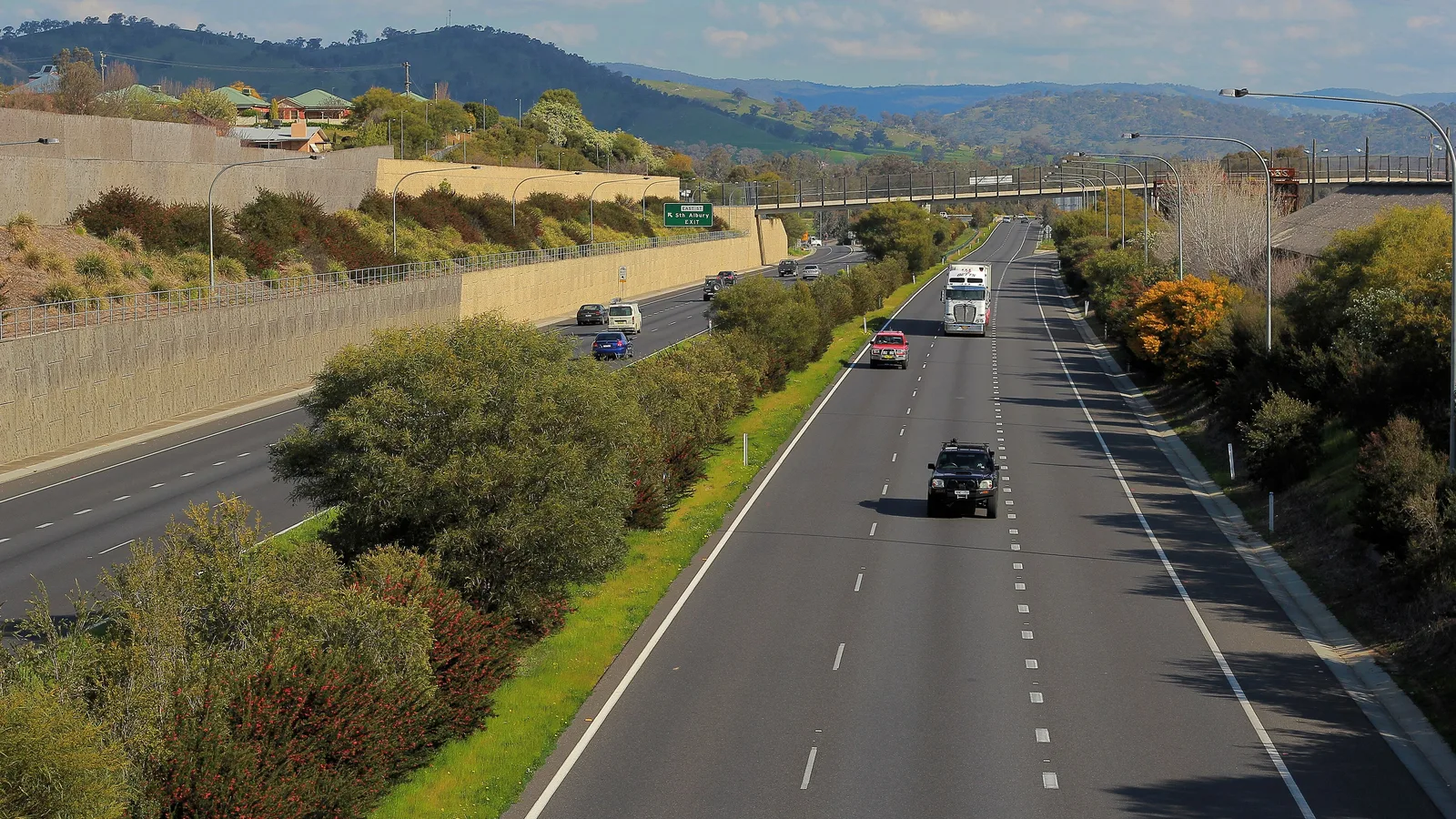
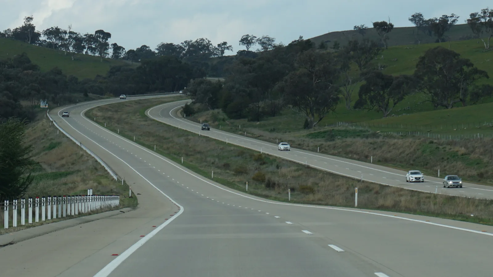
The standard route is the Hume Highway through Seymour, Euroa, Benalla, Wangaratta, Albury, Holbrook, Gundagai and Yass, then the Barton Highway (A25) into the ACT. Wikipedia says the Hume Highway has been dual carriageway for its full length since 7 August 2013, with a 110 km/h limit, and the Barton Highway runs 52 km from Yass to Lyneham, with only about 6 km of its New South Wales section dual carriageway.
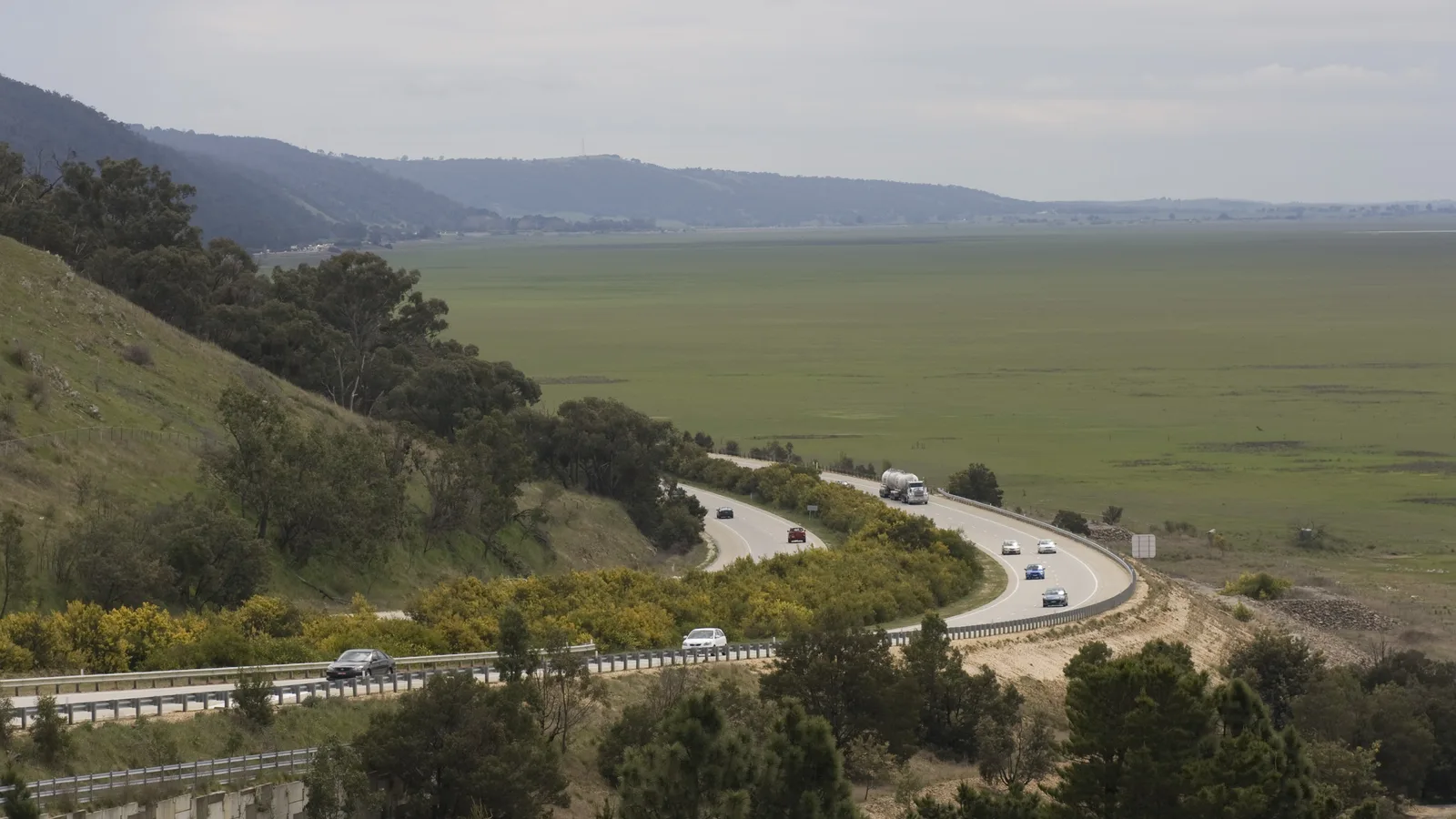
The alpine route leaves the Hume at Albury, follows the Murray Valley Highway to Corryong, crosses the Snowy Mountains on the Alpine Way from Khancoban to Jindabyne, then runs through Cooma and along the Monaro Highway to Canberra. The Monaro route follows the Princes Highway from Melbourne to Cann River, then the Monaro Highway through Bombala and Cooma. Distances and times are from OSRM routing on OpenStreetMap data, checked on 3 November 2026, for a car with no stops. The alpine total is derived from OSRM legs plus the length of the Alpine Way in Wikipedia, so it is not a routed figure.
| Route | Distance | Drive time | Road | Best for |
|---|---|---|---|---|
| Hume Highway then Barton Highway | About 652 km | About 7 h 53 min | Dual carriageway to Yass, then mostly single carriageway | The fastest drive, in a day or with an Albury night |
| Alpine route via Corryong, Khancoban, Jindabyne and Cooma | About 753 km (derived) | Not routed | Steep, narrow and winding Alpine Way | Mountain scenery, not for large caravans |
| Princes Highway to Cann River, then the Monaro Highway | About 735 km | About 9 h 46 min | Mostly single carriageway | A south-east coast and tablelands drive |
- Hume: fastest, dual carriageway to Yass
- Alpine: steep, narrow, closed sections in winter
- Monaro: the coast road, then the tablelands
The Hume route in one or two days
By OSRM routing, Melbourne to Albury is about 317 km (3 h 53 min) and Albury to Canberra about 339 km (4 h 6 min), through Holbrook about 62 km, Gundagai about 118 km further, Yass about 101 km after that and Canberra about 60 km on. If you split the drive, Albury is the usual night. BIG4 Albury Tourist Park is on Wagga Road in Lavington, Albury Central Tourist Park is on North Street and Discovery Parks Lake Hume is about 15 minutes away. Confirm availability with the park.
Further on, Gundagai Cabins and Tourist Park is at 1 Nangus Road and VisitNSW describes it as suiting a stopover on the Hume Highway. Yass Caravan Park is about five minutes off the Hume on the northern side of Yass, with cabins, camping and drive-through caravan sites. The AussieCamps data lists Victorian Hume rest areas at Mangalore, Avenel, Benalla, Winton, Glenrowan, Wangaratta South and Chiltern, with toilets, picnic tables, barbecues and a heavy vehicle area, and mostly drinking water. It lists none for the New South Wales section here, which is a gap in the data. Treat rest areas as a place for a break: Victoria has no statewide overnight limit in the sources checked, and councils can ban overnight stays.
- Albury about 317 km
- Gundagai about 492 km
- Yass about 592 km
Camping in the ACT
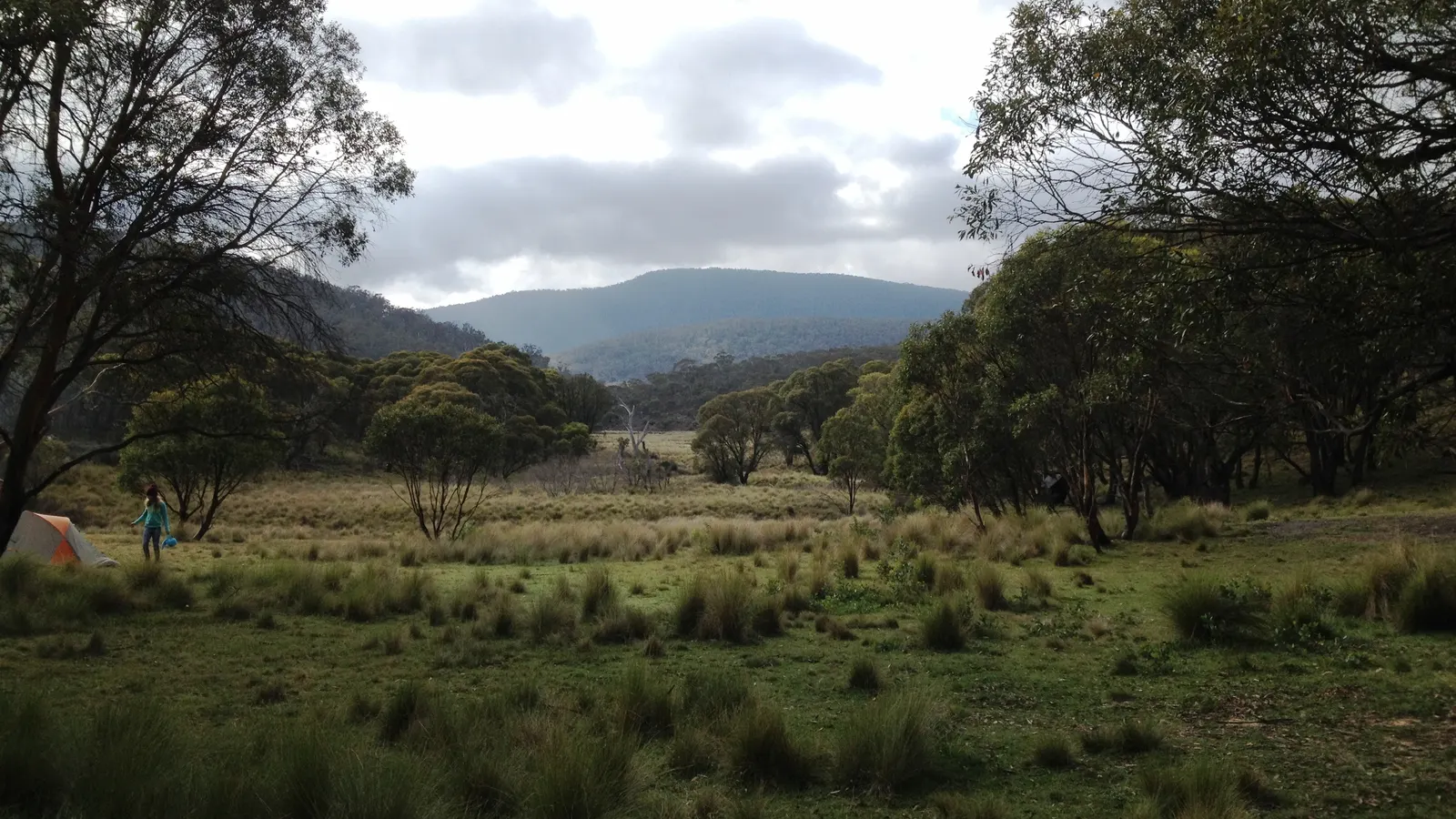
ACT Parks says bookings are essential at Cotter Campground, which takes general camping, camper-trailers and small vans, with water, hot showers and barbecues and no dogs. Honeysuckle Campground also needs a booking and takes up to four campervans or camper-trailers, and fees apply. Mount Clear Campground in Namadgi National Park is a remote, basic campground that ACT Parks says is unsuitable for campervans and caravans, and its site lists closures for maintenance, fire bans and access problems. The AussieCamps data lists all four: Cotter, Honeysuckle, Mount Clear and Northern Border Campground. Fees were not confirmed, so check the ACT Parks page.
The camping rules guide for the ACT covers the rules, and the Namadgi Visitor Centre on (02) 6237 5307 can help with current access.
- Cotter and Honeysuckle need a booking
- Mount Clear: not for caravans
- Check ACT Parks for closures
The alpine and Monaro options
On the alpine route, NPWS describes the Alpine Way between Khancoban and Thredbo as steep, narrow and winding, with rockfalls after rain, and not recommended for large caravans. By OSRM, Corryong is about 128 km beyond Albury (1 h 49 min), Khancoban about 29 km on, Jindabyne about 107 km further on the Alpine Way, then Cooma about 61 km and Canberra about 113 km. NPWS says the road from Khancoban to Cabramurra, and many minor roads in Kosciuszko National Park, are closed in winter, and roads can close in extreme weather.
NSW says all 2WD vehicles must carry chains between the June long weekend and the October long weekend on Kosciuszko Road, the Alpine Way between Thredbo and Tom Groggin and Island Bend and Guthega Road, and recommends them on the Snowy Mountains Highway. The 2026 period has ended and starts again in June 2027. The Monaro Highway is 285.1 km from Cann River to Canberra, with Cooma about 111.6 km from Canberra, and the Australian Alps and Victoria high country guides cover the mountain camping in more detail.
- Alpine Way: steep and narrow
- Chains: June to October long weekends
- Monaro Highway: Cann River to Canberra 285 km
Fuel and services
The sources checked give no fuel gap on any of these routes, and no figure should be taken from the OSRM legs, which only show the distance between the towns used as waypoints. The longest of those on the Hume is Melbourne to Euroa at about 159 km. Fill up in the larger towns, such as Seymour, Benalla, Wangaratta, Albury, Gundagai and Yass. On the alpine route, Khancoban to Jindabyne is about 107 km of national park road and fuel at Thredbo could not be confirmed, so fill up at Corryong or Jindabyne. The road trip fuel guide shows how to budget the distance.
- Fill up in the larger Hume towns
- Alpine: top up at Corryong or Jindabyne
Road conditions, tolls and speed
Check VicTraffic and Live Traffic NSW (livetraffic.com, 132 701). NPWS tells drivers to use Live Traffic NSW for conditions in Kosciuszko National Park. The Hume Highway is 110 km/h for its full length according to Wikipedia, and it is not described as tolled.
In Melbourne, Linkt says its Visitor's Pass covers CityLink, EastLink and the West Gate Tunnel for up to 30 days, and covers CityLink trips made up to 5 days ago and EastLink trips made up to 3 days ago. Whether your start in Melbourne uses a toll road depends on your route to the Hume, so check before you leave.
- VicTraffic and Live Traffic NSW
- Linkt Visitor's Pass covers Melbourne tolls
Border rules and the clock
The Interstate Quarantine site lists no fruit fly restrictions for New South Wales or Victoria, and groups the ACT with New South Wales without separate zones. That is not proof that nothing applies, and no ACT government source on carrying fruit turned up in the sources checked. Agriculture Victoria says Greater Sunraysia regulation lapsed in July 2024 and Mediterranean fruit fly restrictions still apply statewide, so check Agriculture Victoria on 136 186. The same Interstate Quarantine site says that at some stage when travelling in Australia you are likely to be inspected or asked to surrender produce in an amnesty bin.
Victoria, New South Wales and the ACT all observe daylight saving, which began on Sunday 4 October 2026 and ends on Sunday 4 April 2027, so the clock does not change on any route.
- No fruit fly zone listed for NSW or Victoria
- Mediterranean fruit fly: Victoria, statewide
- No clock change
Dump points on the way
The AussieCamps data lists dump points on the Hume at Memorial Park in Wandong, Airport and RV Dump Point in Benalla and Warreena Park in Wangaratta, each with a washout tap listed, and Oxley Recreation Reserve with none listed. In Canberra it lists Epic, Exhibition Park Campground in Lyneham. On the alpine route it lists Corryong Saleyards with a washout tap listed, and on the Monaro route Bruthen Lions Park with a washout tap and Brodribb River Murrungower Rest Area without. It lists none on the New South Wales Hume between Chiltern and Yass, which is only the data's coverage, so check the dump points guide.
- Wandong, Benalla and Wangaratta list a washout tap
- No NSW Hume dump point in the data
Plan the Melbourne to Canberra drive in AussieCamps
Plan it as a trip in AussieCamps: add the stops in order, Albury, Gundagai and a Canberra campground, and it shows the distance and drive time of each leg with a forecast for the day you plan to arrive. AussieCamps lists 1,838 campgrounds, 5,552 rest areas and 1,393 dump points from park agencies, road authorities and public datasets, including the ACT Parks and Kosciuszko campgrounds above, and a place page shows the facilities those sources publish.
Stored place details, saved places and guides work with no signal. Map tiles, routing, weather and photos need a connection, which matters on the alpine route, so open the trip before you leave Corryong. AussieCamps runs on iPhone only, and it is free to download, with in-app purchases.
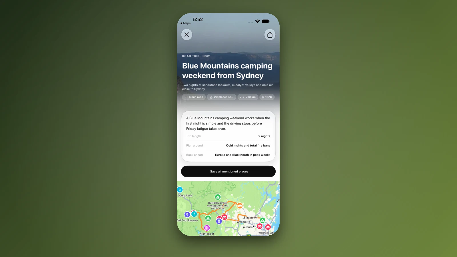
- Add each overnight stop in order
- Forecast per arrival day
- Open the trip before the mountains
Places along the way
Check before you go
Rules and conditions change. Recheck the official source and the page for your exact park or campground before departure.
- OSRM routing on OpenStreetMap data (Melbourne to Canberra, checked 3 November 2026)
- Wikipedia: Hume Highway
- Wikipedia: Barton Highway
- Wikipedia: Alpine Way
- Wikipedia: Monaro Highway
- NSW National Parks: snow driving
- NSW Government: driving in snow
- NSW National Parks: Khancoban area visitor info
- ACT Parks: Cotter Campground
- VisitNSW: Yass Caravan Park
- Linkt: Visitor's Pass
- Interstate Quarantine: quarantine zones
- Agriculture Victoria: regulatory changes in the Greater Sunraysia region
- NSW Government: daylight saving in NSW
- Live Traffic NSW
Common questions
How long does it take to drive from Melbourne to Canberra?+
About 652 km and 7 h 53 min of driving on the Hume Highway and Barton Highway, by OSRM routing on OpenStreetMap data. Most drivers do it in a long day, and Albury is the usual place to break it into two.
Is the Hume Highway all dual carriageway?+
Wikipedia says yes, since the Holbrook bypass opened on 7 August 2013, with a limit of 110 km/h. The last 52 km into Canberra on the Barton Highway from Yass is different: it is mostly single carriageway, with only about 6 km of its NSW section dual carriageway.
Do I need snow chains between Melbourne and Canberra?+
Not on the Hume or Barton Highways. On the alpine alternative through Kosciuszko National Park, NSW says all 2WD vehicles must carry chains between the June long weekend and the October long weekend on roads such as the Alpine Way between Thredbo and Tom Groggin. That period has ended for 2026 and starts again in June 2027.
Is there a fruit fly checkpoint between Victoria and New South Wales on this drive?+
The sources checked show none. The Interstate Quarantine site lists no fruit fly restrictions for New South Wales or Victoria, and Agriculture Victoria says Greater Sunraysia regulation lapsed in July 2024, but Mediterranean fruit fly restrictions still apply statewide in Victoria, so check Agriculture Victoria on 136 186.
Take it on the road
Save the stops. Plan the whole trip.
Build an ordered route from saved places, calculate the distance and keep dates, notes and to-dos attached.