Sydney to Canberra is about 294 km and 3 h 34 min of driving on the Hume Highway to Goulburn and the Federal Highway into the ACT, by OSRM routing. It is a day trip rather than a two-day drive, and the choices that matter are how you pay Sydney tolls as a visitor, where you stop at Goulburn and whether you book an ACT campground before you leave.
Sydney to Canberra routes compared
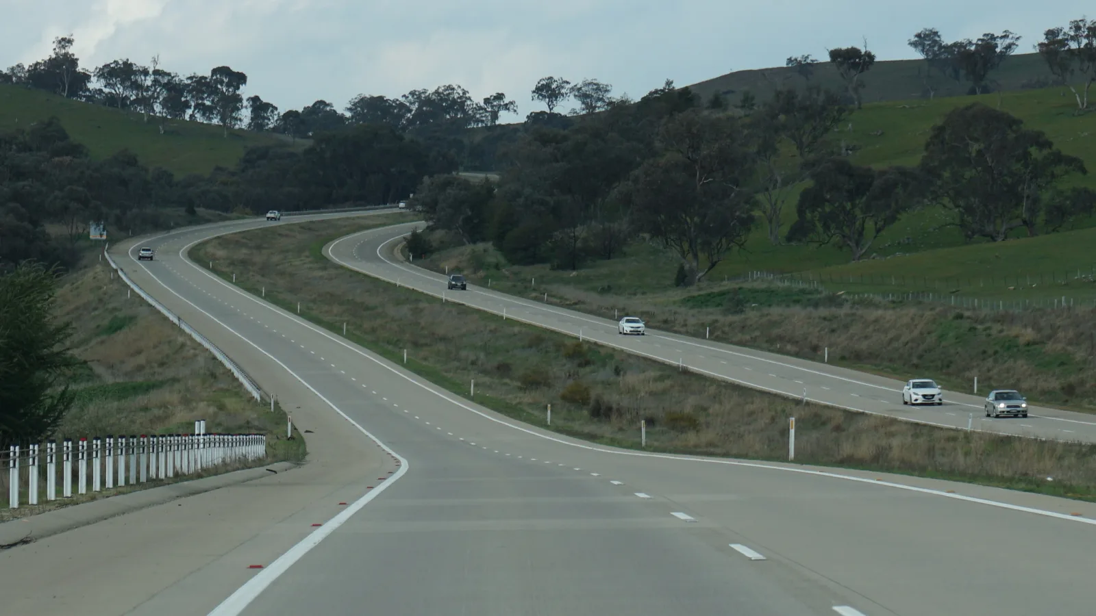
The standard route leaves Sydney by the M5 or M7, which Wikipedia says meet at Prestons where the Hume Highway (M31) begins, and follows the Hume through Campbelltown, Mittagong, Marulan and Goulburn. Wikipedia describes the Prestons to Berrima motorway as dual carriageway, the Hume as generally dual outside urban areas, and the limit on its full length as 110 km/h. At Yarra, south-east of Goulburn, the Federal Highway (M23) takes over for the 72.7 km to Canberra.
The coastal alternative follows the coast through Wollongong, Nowra and Batemans Bay, then the Kings Highway over Clyde Mountain through Braidwood and Bungendore to Canberra. Wikipedia gives the Kings Highway as 139 km from Batemans Bay to Canberra and says a 40 km section over the Great Dividing Range, including Clyde Mountain, recorded about 22% of the road's crashes. This guide found no road authority page that publishes it as a Sydney to Canberra route, and the Southern Highlands and Kangaroo Valley roads are the same, so it compares only these two. The figures are OSRM results on OpenStreetMap data from 21 October 2026, worked out for a car without any stops.
| Route | Distance | Drive time | Road | Best for |
|---|---|---|---|---|
| Hume Highway then Federal Highway via Goulburn | About 294 km | About 3 h 34 min | Dual carriageway for most of the way | The quickest drive, in a morning or afternoon |
| Coast, then Kings Highway via Batemans Bay, Braidwood and Bungendore | About 426 km | About 6 h 31 min | Coast road, then a mountain climb at Clyde Mountain | A full day with coast and tableland towns |
- Hume and Federal: the quick route
- Kings Highway: about 130 km longer
- Clyde Mountain is the steep section
Goulburn, Lake George and the stops between
By OSRM routing, Sydney to Goulburn is about 194 km (2 h 22 min) and Goulburn to Canberra about 100 km (1 h 17 min). Wikipedia says Goulburn is about 195 km south-west of Sydney and 90 km north-east of Canberra, and that the 1992 Hume bypass removed about 23,000 cars a day from the city. Its landmark is the Big Merino, which Wikipedia calls the world's largest concrete sheep. South Goulburn Caravan Park, at 149 Hume Street, is listed by Visit NSW with large drive-through caravan sites with power and water, unpowered tent sites and cabins. Confirm availability with the park.
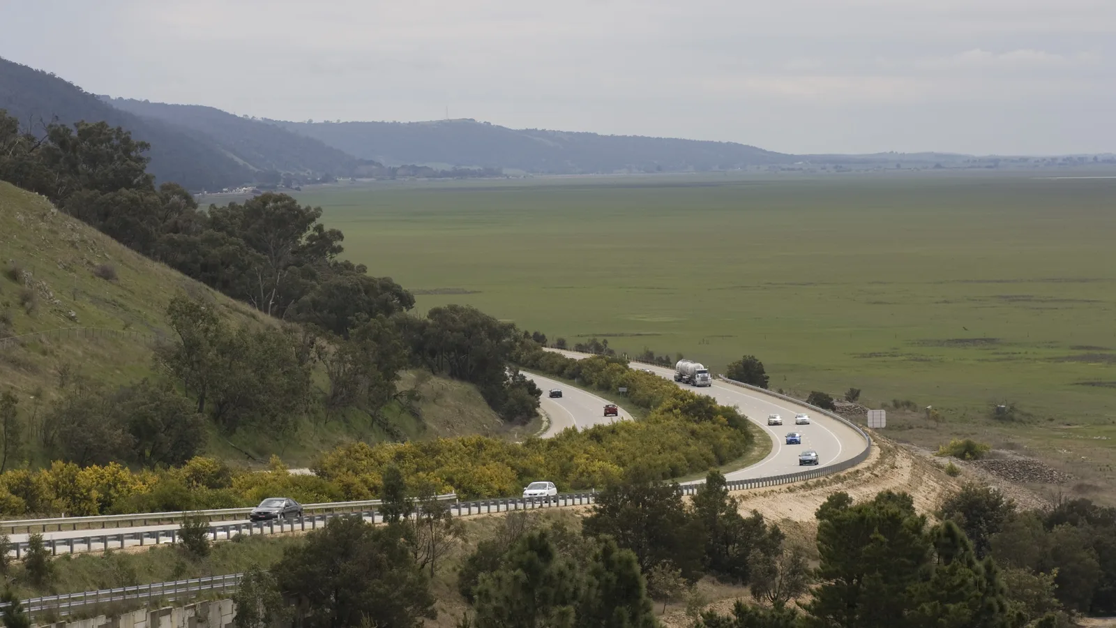
Lake George lies beside the Federal Highway, which runs along its western shore. Wikipedia says it is about 25 km long and 10 km wide, averages about 1 m deep, dried completely in November 2002 and stayed dry until 2010, and was full again in December 2021, so what you see depends on recent rain. It describes no formal lookout, so use a rest area for a break rather than stopping on the shoulder.
- Goulburn about 194 km from Sydney
- Lake George: the water level changes
- Check the park before you book
Tolls: how a visitor pays in Sydney
The NSW Government says that if you travel on a toll road without an active toll account or pass, you have 72 hours to pay or create a toll account, and otherwise a Toll Payment Demand is issued that adds a video matching fee. Service NSW says visitors can use the eMU Casual Pass, listed for visiting NSW or up to 30 days of NSW toll road use, and that you can open an account or buy a pass up to 72 hours after you travel on a toll road.
The NSW Government lists E-Toll for the Sydney Harbour Bridge and Sydney Harbour Tunnel, and Linkt for the Cross City Tunnel, Eastern Distributor, Hills M2, Lane Cove Tunnel, M5 South-West Motorway, NorthConnex, WestConnex and Westlink M7, each payable online or by phone. Which of these your drive meets depends on where you start in Sydney, so check your route before you leave. Wikipedia does not describe tolls on the Hume Highway or Federal Highway.
- 72 hours to pay or open an account
- eMU Casual Pass covers up to 30 days
- E-Toll for the Harbour Bridge and Tunnel, Linkt for the rest
Fuel, rest areas and dump points
No source checked gives a fuel gap on this route, and the longest OSRM leg between the towns used as waypoints is Campbelltown to Mittagong at about 63 km. The Australian National University tells visitors there are plenty of 24/7 food and fuel stops on the highway. The road trip fuel guide is the place to budget fuel for the distance.
The AussieCamps data lists free rest areas at Appin Park in the Wollondilly area, with toilets, a shelter, picnic tables, barbecues, a heavy vehicle area and a playground, and the Anderson VC Rest Area in the Yass Valley area, with toilets, a shelter, picnic tables and barbecues. Treat them as places for a break: the guide on overnight stays and the camping rules guide for New South Wales cover sleeping in a vehicle. The data lists a dump point at the Ampol Foodary at Pheasants Nest, southbound, with toilets and showers listed and no washout tap listed, and at Epic, Exhibition Park Campground in Lyneham. The list shows only what the data covers, and the dump points guide explains where else to look.
- Plenty of 24/7 fuel, says ANU
- Rest areas: for a break
- Dump points: Pheasants Nest and Lyneham
Road conditions, speed and the clock
Check Live Traffic NSW (livetraffic.com) before you leave. No official page opened for this guide described snow, fog or fire closures on this route, so none are described here. Wikipedia says the Federal Highway is a continuous 110 km/h northbound in NSW, a southbound section near Yarra and Rowes Lagoon is 100 km/h with many lower advisory signs, and in the ACT the limit falls to 100, 80 and then 70 km/h on the way into the city.
The Interstate Quarantine site lists no fruit fly restrictions for New South Wales, and groups the ACT with New South Wales without separate zones. That is not proof that nothing applies, and no ACT government source on carrying fruit was found, so no border checkpoint is described here. New South Wales and the ACT both observe daylight saving, which began on Sunday 4 October 2026 and ends on Sunday 4 April 2027, so the clock does not change.
- Live Traffic NSW
- Limits fall as you enter the ACT
- No clock change
Camping in the ACT
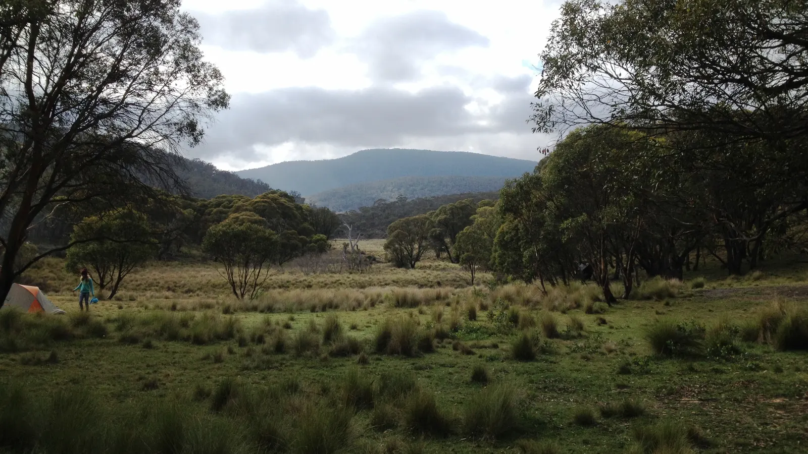
ACT Parks says, in a search extract of its pages, that bookings are essential at Cotter Campground, which takes general camping, camper-trailers and small vans, with water, hot showers and barbecues and no dogs. Booking is needed at Honeysuckle Campground too, which takes up to four campervans or camper-trailers and charges fees. Mount Clear Campground in Namadgi National Park is remote and basic, and ACT Parks says it is unsuitable for campervans and caravans. The AussieCamps data lists all four ACT Parks campgrounds, with Northern Border Campground, and fees were not confirmed, so check the ACT Parks page.
Closer to Goulburn, NPWS says Bungonia campground has caravan, camper trailer and beside-vehicle sites, toilets, showers and drinking water, and park entry of $8 a vehicle a day that is not included in the camping fee. It is always open but may close at times for high fire danger or park operations, so call the park before you drive there. The camping rules guide for the ACT covers the rules.
- Cotter and Honeysuckle need a booking
- Bungonia: entry fee on top of camping
- Check the closure notice
Plan the Sydney to Canberra drive in AussieCamps
Plan it as a trip in AussieCamps: add the stops in order, Goulburn, a break at Lake George and a Canberra campground, and it shows the distance and drive time of each leg with a forecast for the day you plan to arrive. AussieCamps lists 1,838 campgrounds, 5,552 rest areas and 1,393 dump points from park agencies, road authorities and public datasets, including the ACT Parks and NPWS campgrounds above, and a place page shows the photos, weather and facilities those sources publish.
Saved places, place details and guides keep working when the signal drops. Because map tiles, routing, weather and photos need a connection, open the trip while you are still inside Sydney's coverage. It runs on iPhone and is free to download, with in-app purchases. The Melbourne to Canberra guide covers the southern side.
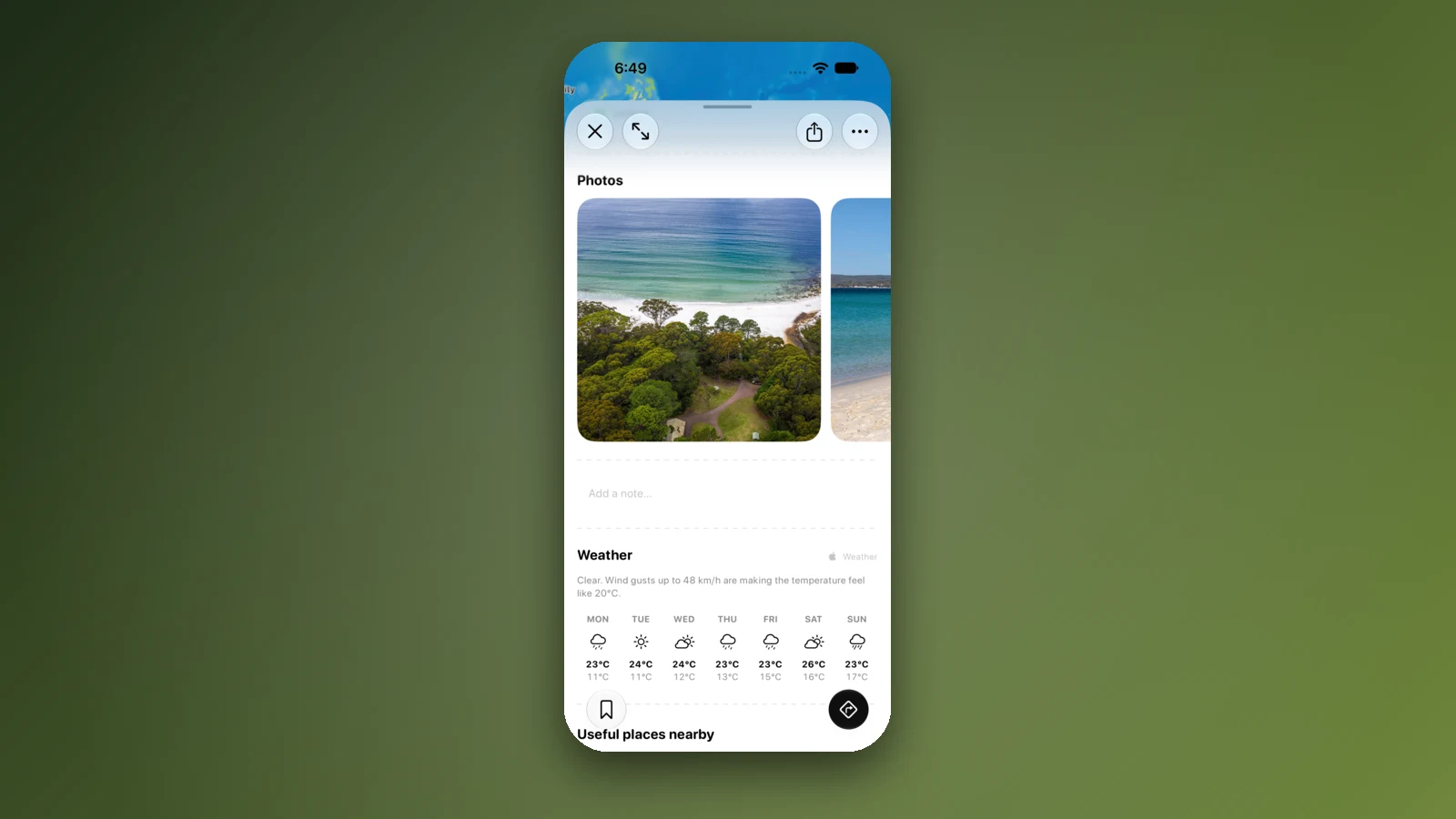
- Add each stop in order
- Forecast per arrival day
- Open the trip before you leave Sydney
Places along the way
Check before you go
Rules and conditions change. Recheck the official source and the page for your exact park or campground before departure.
- OSRM routing on OpenStreetMap data (Sydney to Canberra, computed 21 October 2026)
- Wikipedia: Hume Highway
- Wikipedia: Federal Highway (Australia)
- Wikipedia: Kings Highway (Australia)
- Wikipedia: Goulburn
- Wikipedia: Lake George, New South Wales
- NSW Government: paying a toll or toll notice
- Service NSW: pay a toll notice
- Australian National University: travelling to Canberra
- Live Traffic NSW
- VisitNSW: South Goulburn Caravan Park
- NSW National Parks: Bungonia campground
- ACT Parks: Cotter Campground
- Interstate Quarantine: quarantine zones
- NSW Government: daylight saving in NSW
Common questions
How long does it take to drive from Sydney to Canberra?+
OSRM routing on OpenStreetMap data gives 294 km and 3 h 34 min via the Hume Highway and Federal Highway. The Australian National University tells visitors the drive takes about three hours on the Hume. Most drivers do it in a morning or an afternoon, with a stop at Goulburn.
Are there tolls between Sydney and Canberra?+
Wikipedia says the M5 and M7, which meet where the Hume Highway starts at Prestons, are tolled, and does not describe tolls on the Hume Highway or Federal Highway themselves. The NSW Government says that if you use a toll road without an account or pass you have 72 hours to pay or create a toll account, and Service NSW suggests the eMU Casual Pass for visitors, which covers up to 30 days.
Is the Federal Highway dual carriageway?+
Wikipedia says the whole 72.7 km route has two lanes in each direction, with the last dual section completed in 2000. It gives a continuous 110 km/h northbound in NSW, a 100 km/h southbound section near Yarra and Rowes Lagoon, and 100, 80 and then 70 km/h in the ACT as you near the city.
Can I take the coast road from Sydney to Canberra?+
Yes, by the Kings Highway from Batemans Bay through Braidwood and Bungendore. By OSRM routing it is about 426 km and 6 h 31 min, so about 130 km longer than the Hume. No road authority page was found that publishes it as a Sydney to Canberra route, so treat it as a day of scenery rather than a shortcut.
Take it on the road
Save the stops. Plan the whole trip.
Build an ordered route from saved places, calculate the distance and keep dates, notes and to-dos attached.