Sydney to Melbourne is about 870 to 900 km and around 11 hours of driving on the Hume Highway, the fastest route. The Princes Highway along the coast is about 1,040 km and 14 to 15 hours without stops, so it is a three or four day drive rather than a transfer.
Sydney to Melbourne routes compared
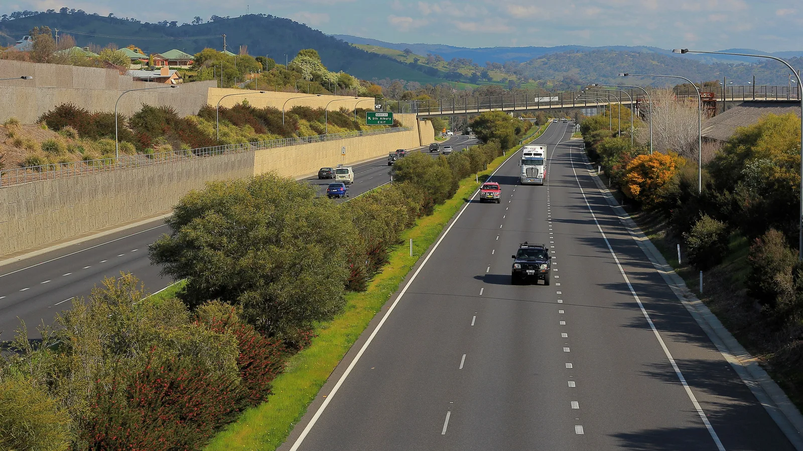
There are two main roads. The Hume Highway (M31) runs inland through Goulburn, Gundagai, Wagga Wagga, Albury and Wangaratta. The Princes Highway follows the coast through Nowra, Batemans Bay, Eden and Lakes Entrance. A third option swings through Canberra and rejoins the Hume near Gundagai, adding about 74 km and an hour.
Distances are about, because roads and start points change the total. Wikipedia gives about 840 km for the Hume Highway itself and about 1,040 km for the Princes Highway. The times below come from OSRM routing on OpenStreetMap data, computed on 21 October 2026, for a car from city centre to city centre with no stops. A caravan or campervan is slower, and fuel and meal stops add more.
| Route | Distance | Drive time | Road | Best for |
|---|---|---|---|---|
| Hume Highway (M31) | About 896 km | About 11 h 16 min | Dual carriageway, 110 km/h limit | The fastest drive, in one long day or two easy ones |
| Princes Highway coast | About 1,042 km | About 14 h 35 min | Freeway near Sydney and Melbourne, mostly two lanes between | Beaches and forest over three or four days |
| Hume via Canberra | About 970 km | About 12 h 21 min | Federal Highway, then the Hume | A Canberra night on the way |
- Hume: fastest, dual carriageway, 110 km/h
- Princes: slower, scenic, two lanes for much of it
- Add time for a caravan
Day 1: Sydney to Gundagai
Gundagai is about 375 km and four and a half hours from Sydney by OSRM routing: Sydney to Goulburn is about 194 km (2 h 22 min), then about 181 km (2 h 8 min) on to Gundagai. Goulburn is the usual coffee stop. If you would rather break the day, BIG4 Governors Hill Caravan Park and South Goulburn Caravan Park are both in town. Check availability with the park.
Gundagai Cabins and Tourist Park is at 1 Nangus Road, a short walk from the town centre. Wagga Wagga is another 80 km and about an hour further, and BIG4 Ingenia Holidays Wagga Wagga is the larger park there. The AussieCamps data lists Mundoonan Rest Area on both sides of the Hume near Goulburn, with toilets, shelter, picnic tables and barbecues, and Ampol Foodary Pheasants Nest Southbound at about 85 km, which lists toilets and showers.
- Goulburn about 194 km
- Gundagai about 375 km
- Wagga Wagga about 455 km
Day 2: Gundagai to Melbourne
From Gundagai it is about 520 km and six hours to Melbourne by OSRM routing: Wagga Wagga about 80 km, Albury about 126 km further, Wangaratta about 74 km, then about 240 km to Melbourne. Albury has a bypass, opened on 6 March 2007, and the Hume has been dual carriageway end to end since the Holbrook bypass opened on 7 August 2013.
If you want a third night, Albury Gardens Tourist Park and Albury Holiday Park are both in Lavington, and Painters Island Holiday Park is on the Ovens River in Wangaratta, about 300 m from the centre by footbridge. Victoria's Hume rest areas, including Chiltern, Iron Bark, Wangaratta South, Glenrowan, Benalla and Avenel, list toilets, drinking water, picnic tables and barbecues in the AussieCamps data, and most list a heavy vehicle area.
- Wangaratta about 650 km
- Benalla about 672 km
- Rest areas are for a break, not a bed
The Princes Highway option, in four days
The coast road is about 1,042 km. Wikivoyage suggests it is possible in two days with one overnight stop, and recommends at least four days to enjoy it. OSRM legs are Sydney to Nowra about 162 km (2 h 25 min), Nowra to Batemans Bay about 117 km (1 h 42 min), Batemans Bay to Eden about 199 km (2 h 51 min), Eden to Lakes Entrance about 242 km (3 h 9 min), Lakes Entrance to Sale about 107 km (1 h 33 min) and Sale to Melbourne about 215 km (2 h 52 min).
The stretch from Eden to Orbost is the quiet one: Wikivoyage describes it as about 185 km with scattered services. Towns on the way are Genoa, Cann River and Orbost, and Cann River is the usual halfway stop. For the south coast of New South Wales, the Sydney south coast guide covers the campsites in detail, and the Great Ocean Road guide picks up where Victoria's other famous coast road starts.
- Eden to Orbost about 185 km of scattered services
- Cann River is the usual halfway stop
- Check VicEmergency and Live Traffic NSW on the day
Fuel and services
Wikivoyage describes petrol stations as plentiful on both routes, and says EV chargers are widely available on the Hume but still patchy on the Princes Highway. The longest stretch between big towns on the Hume is Goulburn to Gundagai at about 181 km, with service centres between, such as Pheasants Nest near Sydney and Avenel in Victoria. Fill up before the Princes Highway between Eden and Orbost, because fuel and opening hours at the small towns there could not be confirmed.
Both roads are busy from Christmas to the end of January and accommodation is often full, so book parks ahead in the holidays. For fuel budgeting, the road trip fuel planning guide shows how to work out the cost from the distance.
- Hume: services every hour or so
- Princes: fill up before Eden to Orbost
- Book ahead from Christmas to January
Road conditions, tolls and closures
Check Live Traffic NSW (livetraffic.com or 132 701) and VicTraffic and VicEmergency before you go. No current closure was listed in the sources checked on 21 October 2026. The Princes Highway has closed in past bushfire summers, notably between Bruthen or Orbost and the New South Wales border, so check the day before for Cann River to Genoa. Kangaroos are common at dusk and night, and both roads have fixed and mobile speed cameras. The wildlife and fatigue guide covers how to drive at dawn and dusk.
The Hume Highway itself is not tolled, but Sydney's M5 and M7 meet it at Prestons and are. NSW says that if you use a toll road without an account or pass you have 72 hours to pay, and Service NSW lists a casual pass for visitors. In Melbourne, Linkt's Visitor's Pass covers up to 30 days on any toll road in Melbourne and can cover CityLink trips made up to 5 days ago and EastLink trips made up to 3 days ago. There is no alpine pass on the Hume or the Princes Highway, so you do not need chains. The Australian Alps and Victoria high country guides cover roads that do.
- Live Traffic NSW: 132 701
- NSW toll: pay within 72 hours
- Linkt Visitor's Pass for Melbourne
Border rules between New South Wales and Victoria
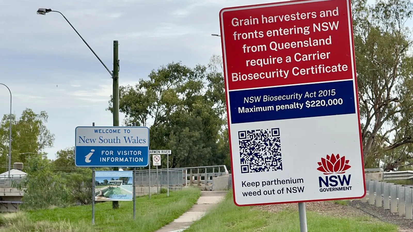
No fruit fly checkpoint turned up on the Hume or Princes Highway crossings. Agriculture Victoria says the Greater Sunraysia Pest Free Area was in place from 2006 and regulation ended in July 2024, so there are no longer restrictions on carrying Queensland fruit fly host produce into or out of Sunraysia. The Hume and Princes crossings are not in Sunraysia. Victoria still regulates Mediterranean fruit fly, so check Agriculture Victoria (136 186) before bringing produce.
The Interstate Quarantine site also lists a NSW Phylloxera Infested Zone around Albury and Corowa and the Sydney basin, where you should not take soil, grapevine plants, mulch or garden organics out, and a NSW Rice Biosecurity Zone across most of the Murrumbidgee and Murray regions. None of that affects normal camping food, but the interstate biosecurity guide has the full list.
- No fruit fly checkpoint on these crossings found
- Victoria: Agriculture Victoria 136 186
- Skip soil, plants and mulch in phylloxera zones
Dump points along the Hume
The AussieCamps data lists dump points at Ampol Foodary Pheasants Nest Southbound near Sydney (no washout tap listed), Uranquinty Rest Area near Wagga Wagga (no washout tap listed), Warreena Park in Wangaratta, Airport and RV Dump Point in Benalla and Memorial Park in Wandong (all three with a washout tap listed). That is what the data covers, not every dump point on the road, so check the dump points guide and the town council.
If a rest area has no sign allowing overnight stays, treat it as a place for a break. The rest area guide has the rules for New South Wales and Victoria.
- Wangaratta, Benalla and Wandong list a washout tap
- Pheasants Nest and Uranquinty list none
Plan the Sydney to Melbourne drive in AussieCamps
Pick your route and save the overnight stops to a trip in AussieCamps: it keeps the stops in order, shows the leg distance and drive time between them, and shows the forecast for each stop on the day you plan to arrive. AussieCamps lists 1,838 campgrounds, 5,552 rest areas and 1,393 dump points from park agencies, road authorities and public datasets, and a place page carries the facilities those sources publish.
Stored place details, saved places and guides work with no signal. Map tiles, routing, weather and photos need a connection, so load the trip before the Princes Highway stretch east of Eden. AussieCamps runs on iPhone only, and it is free to download, with in-app purchases.
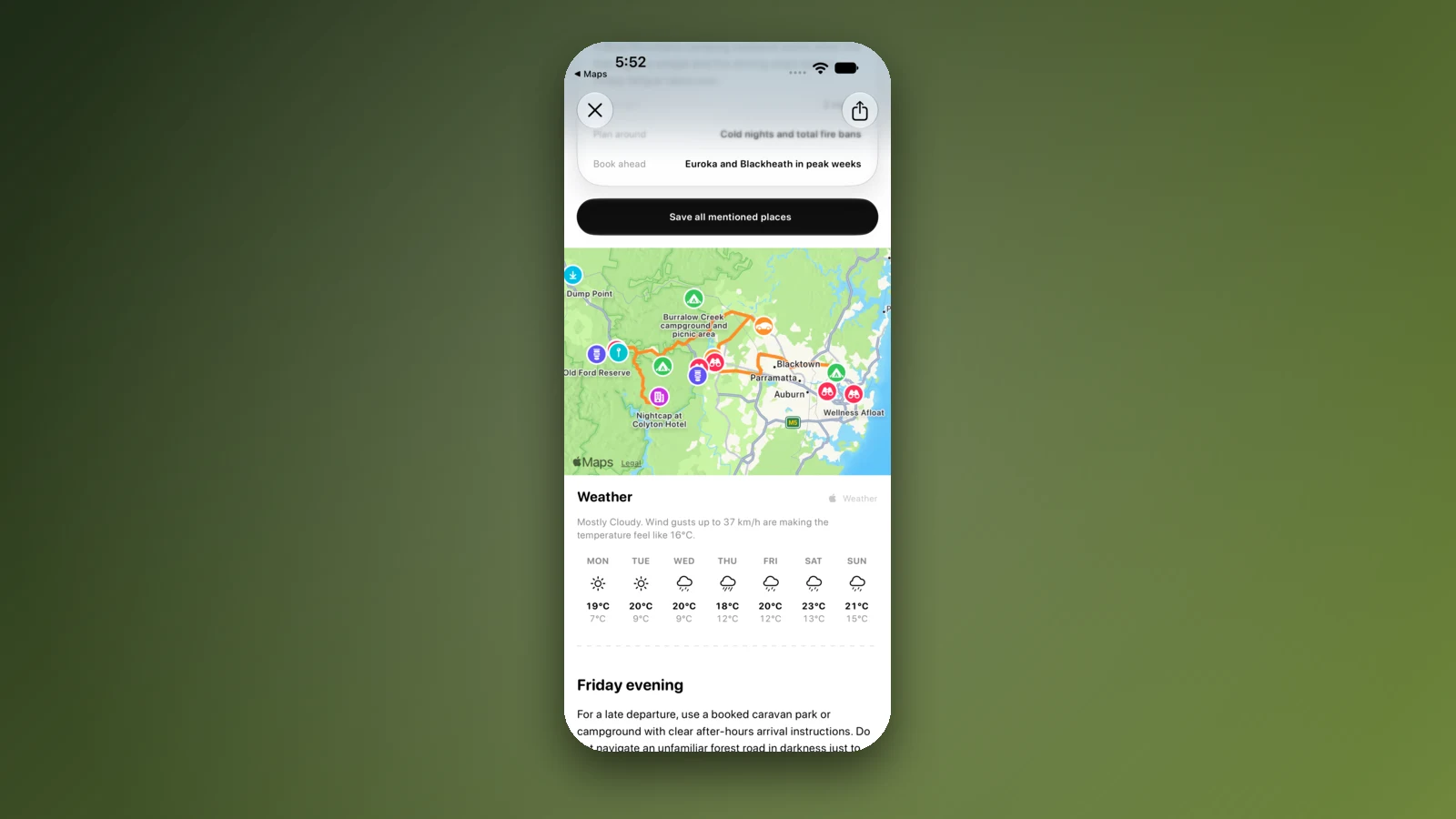
- Save each overnight stop to a trip
- Forecast shows for each arrival day
- Download before you lose signal
Places along the way
Check before you go
Rules and conditions change. Recheck the official source and the page for your exact park or campground before departure.
- OSRM routing on OpenStreetMap data (Sydney to Melbourne, computed 21 October 2026)
- Wikipedia: Hume Highway
- Wikipedia: Princes Highway
- Wikivoyage: Sydney to Melbourne by car
- NSW Government: paying a toll or toll notice
- Service NSW: pay a toll notice
- Linkt: Visitor's Pass for Melbourne
- Agriculture Victoria: regulatory changes in the Greater Sunraysia region
- Interstate Quarantine: quarantine zones
- Live Traffic NSW
- VicEmergency
Common questions
How long does it take to drive from Sydney to Melbourne?+
About 11 hours of driving on the Hume Highway, roughly 870 to 900 km, with no stops. Allow two days if you tow or want to enjoy the trip, and about 14 to 15 hours for the Princes Highway coast route, roughly 1,040 km, which most people split over three or four days.
Is the Hume Highway all dual carriageway?+
Wikipedia says it has been dual carriageway for its full length since the Holbrook bypass opened on 7 August 2013, with a 110 km/h limit. Roadworks and speed zones can change that, so check Live Traffic NSW and VicTraffic before you leave.
Do I need to pay tolls between Sydney and Melbourne?+
Not on the Hume itself, but Sydney's M5 and M7 and Melbourne's CityLink and EastLink are tolled. NSW says you have 72 hours after travelling to pay or open an account, and Linkt sells a Visitor's Pass for Melbourne roads that covers up to 30 days.
Can I take fruit between New South Wales and Victoria?+
No fruit fly checkpoint turned up on the Hume or Princes Highway crossings, and Agriculture Victoria says Queensland fruit fly regulation ended in the Greater Sunraysia area in July 2024. Victoria still regulates Mediterranean fruit fly, so check Agriculture Victoria on 136 186 before you bring produce.
Take it on the road
Save the stops. Plan the whole trip.
Build an ordered route from saved places, calculate the distance and keep dates, notes and to-dos attached.