Cairns to Darwin is about 2,900 km by the sealed route through Townsville, Cloncurry, Mount Isa, Camooweal and the Barkly and Stuart Highways, by OSRM routing. The Savannah Way across the Gulf Country is shorter, about 2,400 to 2,500 km direct, but part of it is unsealed and wet season closures can shut it from December to March.
Cairns to Darwin routes compared
The main route is all sealed. It follows the Bruce Highway to Townsville, the Flinders Highway through Charters Towers and Cloncurry, the Barkly Highway through Mount Isa, Camooweal and Barkly Homestead to Threeways, and the Stuart Highway north through Daly Waters and Katherine. Wikipedia describes the Barkly Highway as the only sealed road between Queensland and the Northern Territory. A variant goes inland through Mareeba, Georgetown, Croydon and Normanton, then the Burke Developmental Road to Cloncurry.
The Savannah Way goes through Georgetown, Croydon, Normanton, Burketown, Hells Gate Roadhouse and Borroloola to the Stuart Highway or the Roper Bar route. The tourism body says it uses sealed and unsealed roads, with sealed roads from Borroloola onwards, and that a 4WD is needed. Its own 3,530.7 km figure is for a longer 17-day tour including Karumba, Boodjamulla and Kakadu, so it is not comparable to the direct figure below. All other figures are from OSRM routing on OpenStreetMap data, computed on 21 October 2026, for a car with no stops. OSRM times on unsealed roads are unreliable, so none are shown for the Savannah Way.
| Route | Distance | Drive time | Road | Best for |
|---|---|---|---|---|
| Bruce, Flinders, Barkly and Stuart Highways via Mount Isa | About 2,911 km | About 33 h 16 min | Sealed throughout | Any vehicle, caravans, a first outback crossing |
| Inland Gulf variant via Georgetown, Normanton and Cloncurry | About 2,870 km | About 32 h 40 min | Gulf roads then Burke Developmental Road, seal status not confirmed | A Gulf Country detour before Mount Isa |
| Savannah Way via Normanton, Burketown and Borroloola | About 2,400 to 2,500 km direct | Not shown | Sealed and unsealed, 4WD advised | Experienced outback drivers in the dry season |
- Main route: all sealed, any vehicle
- Savannah Way: partly unsealed, 4WD advised
- Do not trust drive times on gravel
The main route in six days
By OSRM routing, a six-day split is Cairns to Charters Towers about 483 km, Charters Towers to Cloncurry about 649 km, Cloncurry to Camooweal about 312 km, Camooweal to Tennant Creek about 472 km, Tennant Creek to Katherine about 682 km and Katherine to Darwin about 315 km. The legs are Cairns to Townsville about 347 km (4 h 43 min), Townsville to Charters Towers about 136 km (1 h 41 min), Charters Towers to Cloncurry about 649 km (7 h 55 min), Cloncurry to Mount Isa about 121 km (1 h 34 min), Mount Isa to Camooweal about 191 km (2 h 16 min), Camooweal to Barkly Homestead about 250 km (2 h 27 min), Barkly Homestead to Tennant Creek about 222 km (2 h 11 min), Tennant Creek to Daly Waters about 406 km (4 h 5 min) and Daly Waters to Katherine about 276 km (2 h 55 min).
Tourism NT gives Katherine to Darwin as 316 km and Tennant Creek to Daly Waters as about 400 km. Threeways Roadhouse is where the Barkly meets the Stuart Highway, about 25 km north of Tennant Creek. The Darwin to Alice Springs drive guide covers the Stuart Highway north of Threeways, and the east coast guides cover Cairns and Townsville.
- Charters Towers about 483 km
- Cloncurry about 1,132 km
- Tennant Creek about 1,916 km
Where to stop and where to take a break
The AussieCamps data lists national park campgrounds near the main route at Jourama Falls, Big Crystal Creek in Mount Spec, Alligator Creek in Mount Elliot, Broadwater and Scraggy Point, and it lists nothing between Charters Towers and Katherine. On the Gulf side it lists Kauri Creek, Downfall Creek and Platypus in the Tablelands, and Cannabullen Creek and Koolmoon Creek. At Karumba, Carpentaria Shire Council says overnight parking is not permitted on roadsides and other public land within 5 km of Normanton and Karumba, and it runs a seasonal free camping site on the Norman River at Normanton with limited permits. Listings name Karumba Point Tourist Park, Gulf Country Caravan Park and Karumba Lodge Caravan Park, so book ahead by phone.
Rest areas in the AussieCamps data for a break include Babinda, Georgetown and Croydon in Queensland, and Avon Downs, 41 Mile Bore, Attack Creek and Newcastle Waters in the Northern Territory. Queensland allows up to 20 hours at a rest area unless a sign says otherwise, and heavy vehicle rest areas are for heavy vehicles only. The Northern Territory says no more than 24 hours at any one rest area. Read the sign and the rest area guide.
- Nothing in the app data between Charters Towers and Katherine
- No roadside camping within 5 km of Normanton and Karumba
- Book Karumba parks ahead
Fuel gaps
The Savannah Way site says to plan your fuel stops with hundreds of kilometres between roadhouses, and Tourism NT says to use a vehicle with a long range fuel tank and take extra fuel in remote parts of the Territory. The best-sourced gaps are Roper Bar to Cape Crawford, where Tourism NT says there are no fuel stops for 338 km, and Hells Gate Roadhouse to Borroloola at about 317 km, a figure from the AussieCamps data and a Savannah Way guide. Borroloola to Roper Bar is a further 377 km with no fuel on the unsealed route, according to the same guide.
On the Barkly route, Camooweal to Barkly Homestead is about 260 km and Barkly Homestead to Tennant Creek about 220 km, with the Homestead the stop in between. Barkly Homestead has had a kitchen fire and closure in the past, so check it is open. Fuel at Normanton, Burketown, Borroloola, Hughenden, Richmond and Julia Creek could not be confirmed, so ask at each stop about the next. The fuel planning guide shows how to budget the distance.
- Hells Gate to Borroloola: about 317 km
- Roper Bar to Cape Crawford: 338 km, no fuel
- Check Barkly Homestead is open
Wet season closures and road conditions
Check QLDTraffic and Road Report NT (roadreport.nt.gov.au or 1800 246 199) each day. The Savannah Way says sections of the route are closed during the wet season, December to March, that access in April and May depends on rainfall easing, and that May to October is best. Tourism NT says some Territory roads may be closed by flooding from November to April. In March 2026, QLDTraffic and Carpentaria Shire reported the Gulf Developmental Road between Normanton and the Croydon Shire boundary closed to all traffic for long-term flooding, so flood closures are a real risk. No current closure was found for 21 October 2026. The wet season guide covers cyclones and crocodiles.
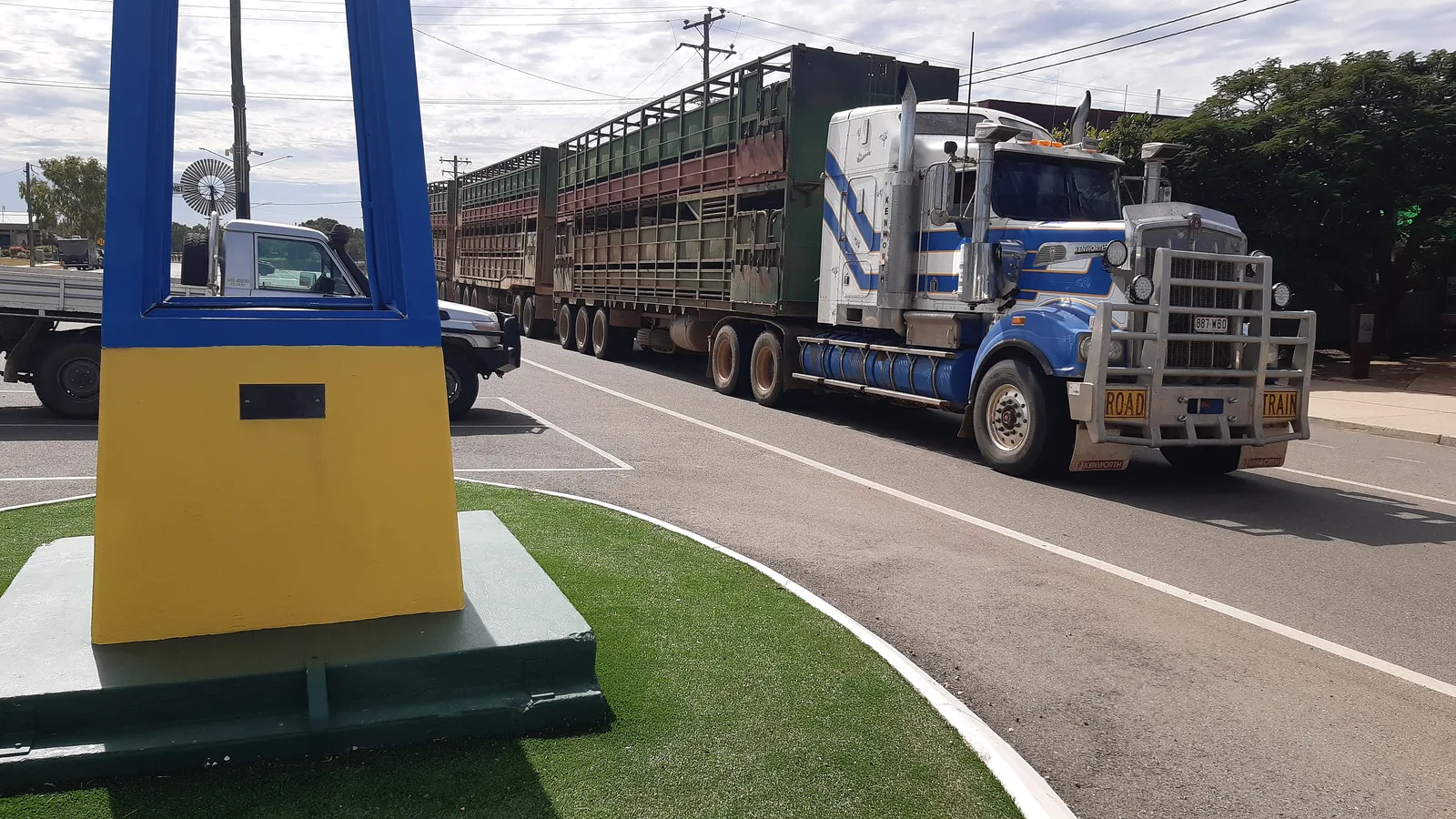
In the Northern Territory the limit outside built-up areas is 110 km/h, with 130 km/h where signs show it. Tourism NT says four-wheel drive vehicles are best for dirt roads and that unsealed conditions can change quickly in wet weather or with large numbers of road trains and cattle trucks. NT Government says road trains can be over 50 m long and overtaking can take up to 2.5 km at 100 km/h. The road trains guide covers etiquette, and the Queensland Outback Way guide covers more of the Queensland outback.
- QLDTraffic and Road Report NT: 1800 246 199
- Savannah Way best May to October
- Sealed route is the safe choice
Border rules and the clock change
No checkpoint turned up in the sources checked at either border crossing, but rules apply. The Interstate Quarantine site says the whole of Queensland is a biosecurity zone for bananas, grape plants, mangoes and sugarcane, and not to take any plants, soil or items that have been in contact with these plants into Queensland. It also lists zones around Cairns, including a Melon Thrips North Queensland Restricted Area covering areas inland and south of Cooktown, Cairns and Innisfail down to Bowen, and a Cercospora Leaf Spot Affected Area in the Mareeba Shire. What a driver may carry out of those zones could not be confirmed, so ring Queensland DAF on 13 25 23.
Entering the Northern Territory, NT Government restrictions cover fruit and vegetables and the plants that produce them, seed and grain, soil, compost and potting mix, plant packaging and farm or earthmoving equipment, and it says uncertified bananas from North Queensland are not allowed into the Territory. If you are unsure, check Interstate Quarantine or contact NT Plant Biosecurity. The Northern Territory is on central time and Queensland on eastern time, and neither uses daylight saving, so clocks go back half an hour at the border. The interstate biosecurity guide covers the wider rules.
- Queensland DAF: 13 25 23
- No uncertified North Queensland bananas into the NT
- Clocks back 30 minutes at the border
National parks, crocodiles and dump points
Boodjamulla (Lawn Hill) needs a camping permit and Queensland Parks says to pre-book from March to October, with access from Gregory Downs unsealed for 100 km. Limmen National Park needs an NT Parks Visitor Pass bought before you arrive, with NT residents exempt, and all campsites must be booked online before your visit. Estuarine crocodiles occur throughout the Gulf of Carpentaria, and Queensland says there is a possibility that crocodiles may be present in any water body north of Gladstone. NT Government says swim only where a swimming area sign is displayed and camp at least 50 m from the water's edge.
The AussieCamps data lists dump points on the main route at Ingham, Bluewater, Cloncurry, Barkly Homestead, Mataranka, Katherine, Pine Creek, Adelaide River and Darwin, and on the Savannah Way at Hells Gate Roadhouse and Borroloola. It lists none between Townsville and Cloncurry or between Mount Isa and Barkly Homestead, which is only the data's coverage. Carpentaria Shire lists council dump points at Normanton and Karumba. The dump points guide has more.
- Boodjamulla: book ahead from March to October
- Limmen: NT Parks Visitor Pass
- Camp 50 m from the water's edge
Plan the Cairns to Darwin drive in AussieCamps
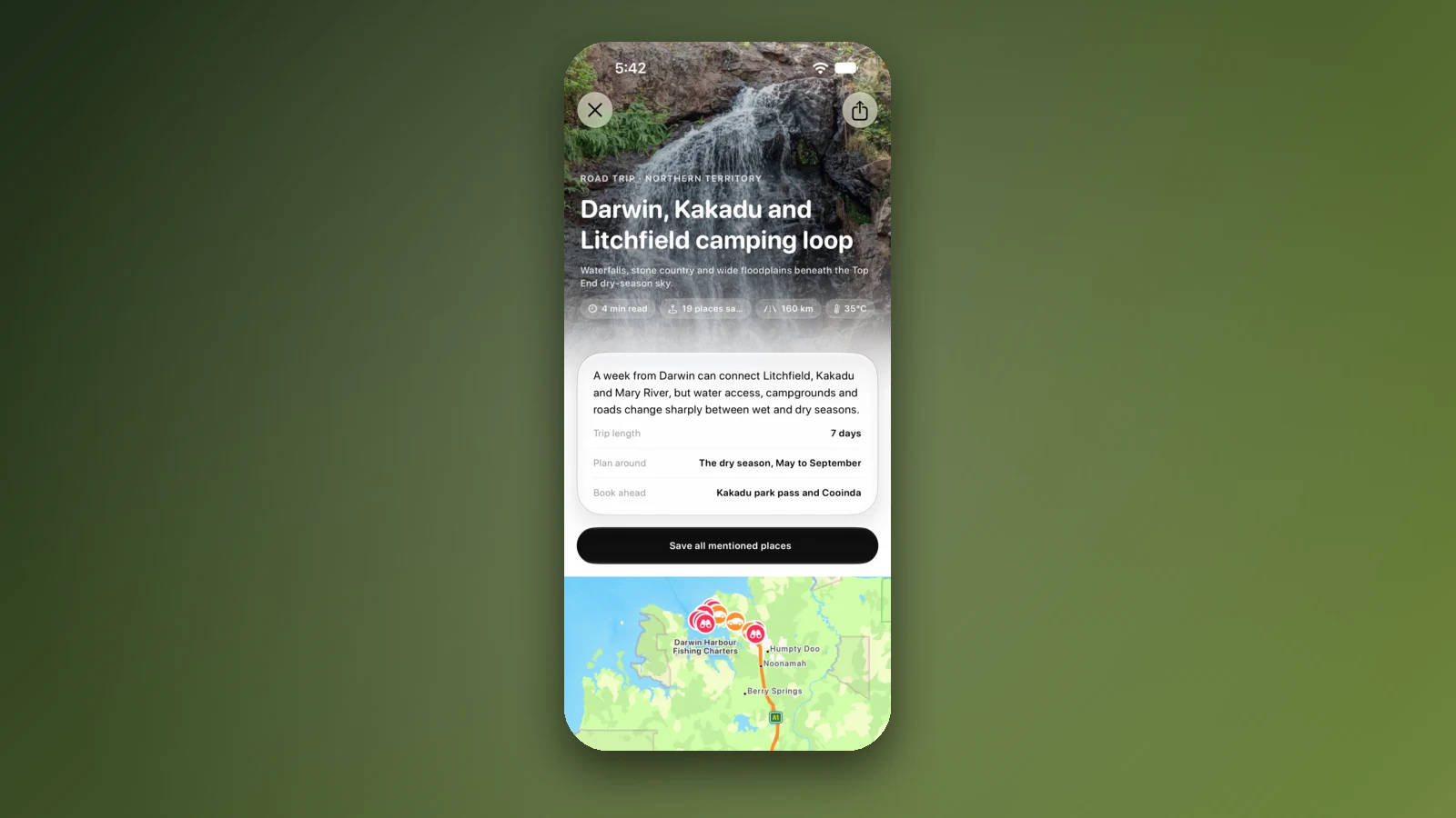
Plan it as a trip in AussieCamps: add the nights in order and it shows the distance and drive time of each leg, with a forecast for the day you plan to arrive. AussieCamps lists 1,838 campgrounds, 5,552 rest areas and 1,393 dump points from park agencies, road authorities and public datasets, and the rest areas and dump points above show the facilities those sources publish.
Stored place details, saved places and guides work with no signal. Map tiles, routing, weather and photos need a connection, and there is long distance without coverage on both routes, so open the trip in range before each long leg. AussieCamps runs on iPhone only, and it is free to download, with in-app purchases.
- Add each night in order
- Forecast for each arrival day
- Open the trip before the long legs
Places along the way
Check before you go
Rules and conditions change. Recheck the official source and the page for your exact park or campground before departure.
- OSRM routing on OpenStreetMap data (Cairns to Darwin, computed 21 October 2026)
- Savannah Way: Cairns to Darwin via the Savannah Way
- Tourism NT: road safety information
- Tourism NT: Limmen National Park
- Road Report NT
- QLDTraffic
- Interstate Quarantine: quarantine zones
- Northern Territory Government: plants and quarantine
- Northern Territory Government: Be Crocwise
- Queensland Government: crocodile management
- Carpentaria Shire Council: camping
- Queensland Parks: Boodjamulla (Lawn Hill) National Park
- Australian Government: time zones and daylight saving
- Wikipedia: Barkly Highway
Common questions
How far is it to drive from Cairns to Darwin?+
About 2,900 km by the sealed main route through Townsville, Cloncurry, Mount Isa and the Barkly and Stuart Highways, by OSRM routing on OpenStreetMap data. The Savannah Way direct is about 2,400 to 2,500 km, but part of it is unsealed and suits a 4WD.
Is the Savannah Way sealed?+
Partly. The Savannah Way tourism body says the route uses sealed and unsealed roads, with sealed roads from Borroloola onwards, and that a 4WD is needed. A 2019 visitor guide describes the roads from Normanton to Burketown and beyond as largely unsealed, so check each section before you go.
Can I drive from Cairns to Darwin in the wet season?+
Not reliably on the Gulf roads. The Savannah Way says sections are closed during the wet season, December to March, and that access in April and May depends on rainfall easing, with May to October the best time. Tourism NT says some roads may be closed by flooding from November to April.
Is there a time change between Queensland and the Northern Territory?+
Yes. The Northern Territory is on central time and Queensland on eastern time, and neither uses daylight saving, so the Territory is half an hour behind Queensland all year and your clock goes back half an hour at the border.
Take it on the road
Save the stops. Plan the whole trip.
Build an ordered route from saved places, calculate the distance and keep dates, notes and to-dos attached.