The Top End and the Kimberley do not shut for the wet season, but parts of them do, and the list changes from week to week. This guide sets out what the official agencies say about roads, parks, cyclones and wildlife between November and April, and where to check each day. We read every source on 21 October 2026, and where an agency publishes no fixed date we say so instead of guessing one.
When the wet season starts, and what the build-up is
Tourism NT says the Top End wet season, or tropical summer, stretches from November to April, and its green season guide puts the build-up from October to December. The Bureau of Meteorology says the northern wet season runs from about October to April in the far north of the Northern Territory, and that the monsoon normally arrives around Darwin in late December. It describes the build-up as the stretch before that onset, which is mostly inactive weather.
The official tropical cyclone season for the Australian region runs from 1 November to 30 April. Tourism NT gives typical wet-season conditions as 25°C to 33°C with humidity that can pass 80%, and says Darwin averages 429 mm of rain in January. In the Kimberley, the Department of Biodiversity, Conservation and Attractions (DBCA) says the wet runs from November to April and the rain is “usually confined to short downpours in the late afternoon or evening” but very heavy.
Agencies draw the lines a little differently, so plan around ranges. Kakadu's Parks Australia calls the monsoon season Kudjewk and gives it as December to March.
| Season | Months | What Parks Australia says |
|---|---|---|
| Kunumeleng | Mid-October to late December | Pre-monsoon storm season, 24°C to 37°C |
| Kudjewk | December to March | Monsoon season: thunderstorms, heavy rain and flooding |
| Bangkerreng | April | The “knock 'em down” storm season |
| Yekke | May to mid-June | Cooler but still humid |
| Wurrkeng | Mid-June to mid-August | Cold weather |
| Kurrung | Mid-August to mid-October | Hot and dry |
- Build-up from October, monsoon from about late December
- Cyclone season 1 November to 30 April
- Rain is heavy but often falls in the afternoon
Roads and floods: how closures work
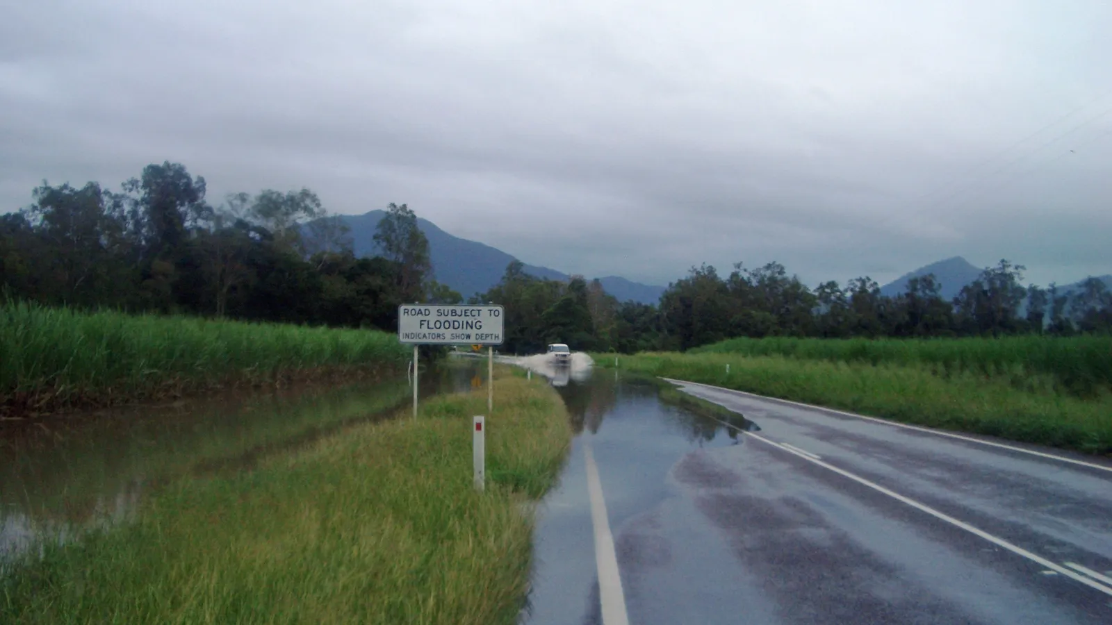
In the Northern Territory, check Road Report NT at roadreport.nt.gov.au or on 1800 246 199 before every leg. Tourism NT says some roads may be closed by flooding from November to April, that you must not travel on closed roads and that heavy fines may apply. Police, Fire and Emergency Services warn that anyone driving on closed roads can expect to be penalised.
NT Police, Fire and Emergency Services, Parks Australia and the Shire of Derby-West Kimberley all use the same line: if it is flooded, forget it. Tourism NT says that if you meet a flooded road you should wait until the water is below the wading depth in your vehicle's owner's manual, and never cross fast-flowing water, because the road surface under it may be damaged even where you cannot see it.
In Western Australia, Main Roads WA runs a live Travel Map at mainroads.wa.gov.au/travelmap showing closures and flooding, and its 24-hour line is 138 138. The Shire of Derby-West Kimberley's road report sends travellers to Main Roads for the Great Northern Highway, the Derby Highway and the Gibb River Road.
- Road Report NT: 1800 246 199
- Main Roads WA Travel Map for closures
- Never drive into floodwater
Kakadu in the wet: what stays open
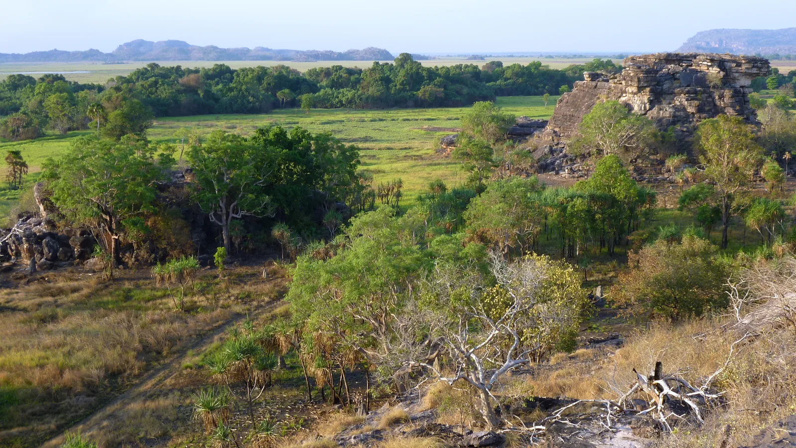
Parks Australia describes the tropical summer (November to April) as vivid green landscapes, flooding, afternoon storms and fewer visitors, and says that flooding closes a number of attractions while popular areas such as Burrungkuy (Nourlangie) and Yellow Water are open all year round. The Yellow Water boat cruise typically runs all year.
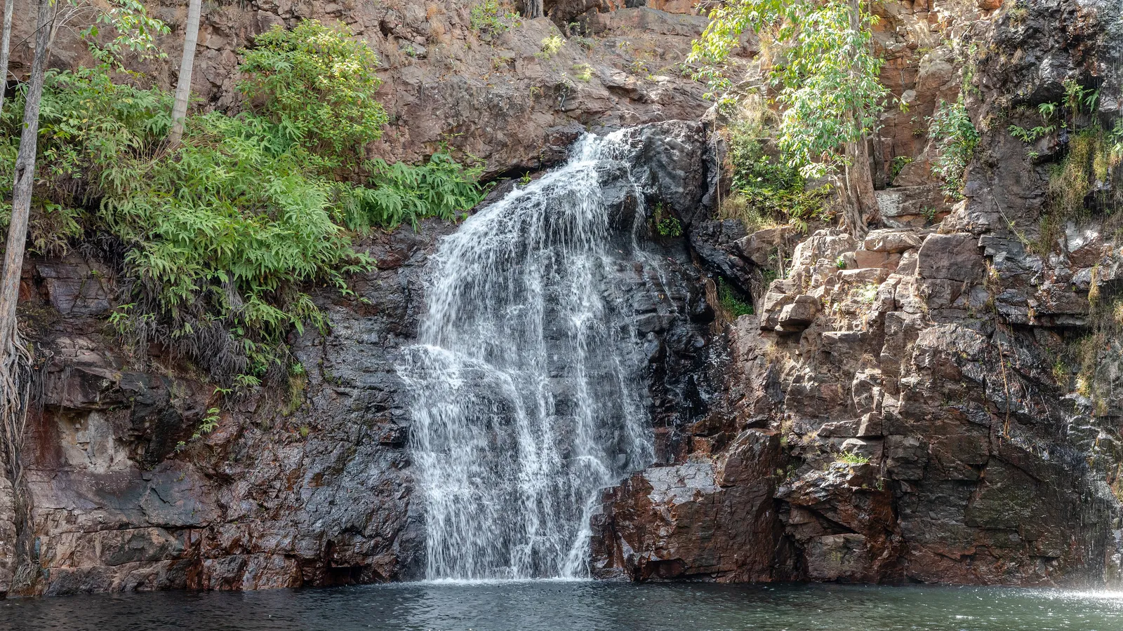
What is open changes with the water. Parks Australia publishes a live Kakadu Access Report at kakadu.gov.au/news/access-and-alerts that lists each road, walk and campground as open, open with risks or closed, with a time stamp. Read it on the day, and check Road Report NT as well. Waterfalls such as Jim Jim and Twin Falls flow from the start of the tropical summer, and Parks Australia says they are best seen by air then.
Jim Jim Falls, the Twin Falls gorge and escarpment walk and Karnamarr campground are closed through 2026 while road and infrastructure upgrades are delivered, and Parks Australia expects the area to reopen for the 2027 dry season, so expect them to stay closed for this whole wet season. That is a works closure, not the usual wet-season one, and the news item on kakadu.gov.au has the latest.
You still need a Kakadu park pass. Parks Australia's tropical summer rate applies from 1 November to 14 May: an adult pass is $25 against $40 in the dry season, and a pass is valid for 7 days. Mobile coverage is limited: Parks Australia says you will not have it in most of the park.
- Burrungkuy and Yellow Water open all year
- Jim Jim, Twin Falls and Karnamarr closed until the 2027 dry season
- Read the Kakadu Access Report on the day
Litchfield and Nitmiluk
At Wangi Falls in Litchfield National Park, Tourism NT says swimming is not permitted during the wet season, typically October to March, because of strong currents and the possible presence of saltwater crocodiles, while the camping and picnic facilities remain open all year. Its Litchfield camping page says Walker Creek's walk-in sites are open only in the dry season and cannot be booked in advance, and that the Florence Falls 2WD campground is available year-round, while the 4WD campground is available most of the year.
Tourism NT also says camping in the wet is possible with a robust set-up and good shelter, and that camping in Litchfield during the wet season is not recommended unless your equipment can withstand the rain. Many natural waterholes in the Top End are closed to swimming in the wet because it is unsafe.
Nitmiluk Gorge near Katherine can be visited all year. Tourism NT says that from November to April the tropical rain arrives, and when the water level rises, jet boats operate cruises on the gorge.
- Wangi Falls: no swimming in the wet, camping stays open
- Walker Creek walk-in sites: dry season only
- Check NT Parks for the day's closures
The Gibb River Road, Purnululu and the Kimberley parks
Main Roads WA manages the Gibb River Road. It says the road is often closed during the wet season, which generally runs from December to April, as river crossings become impassable or sections are damaged. After the wet, once crossings are low enough, crews repair flood damage and the road is reopened only when it is safe. It is typically open from May to November.
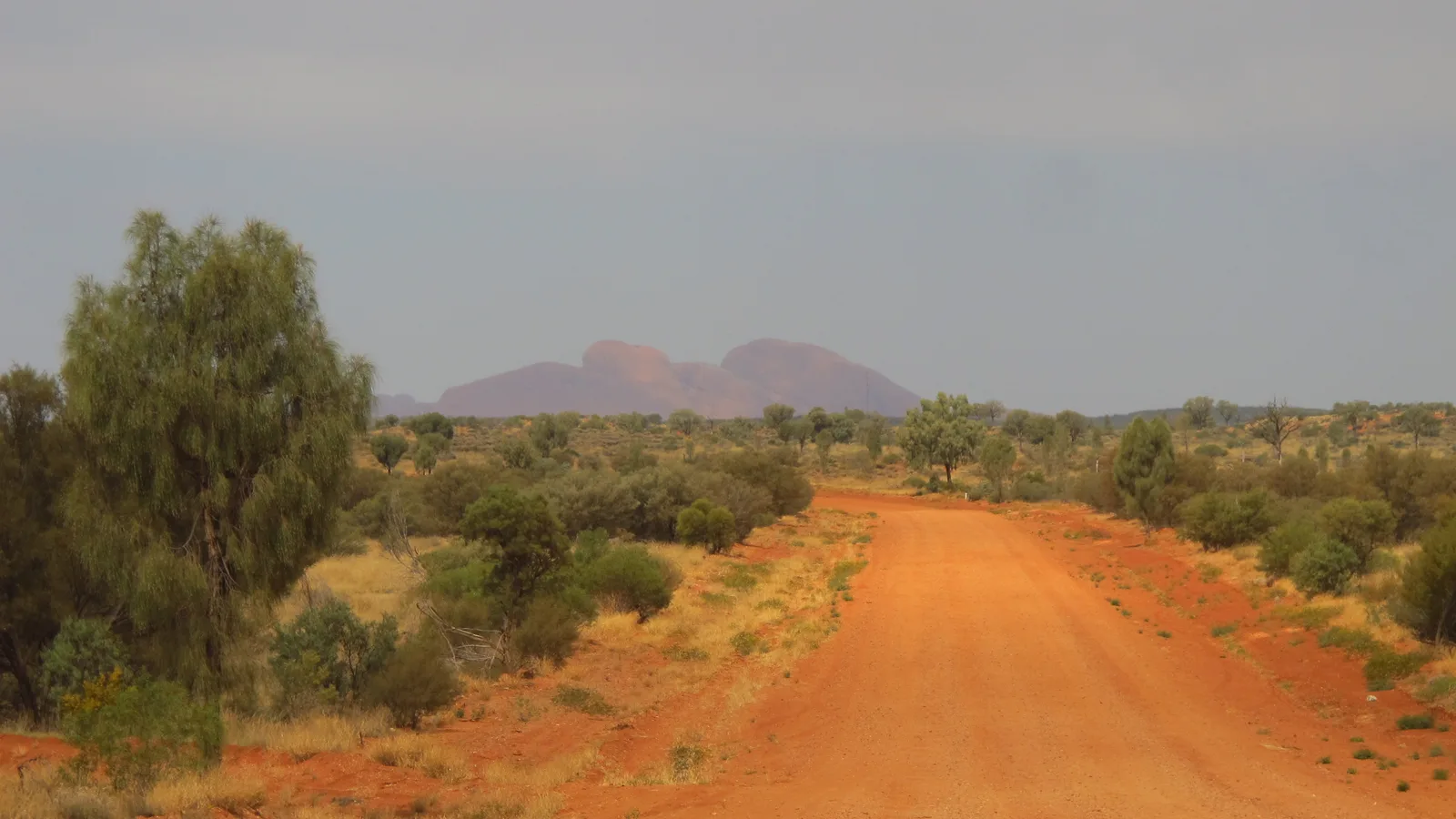
No agency publishes a fixed closing or reopening date for 2026-27, so treat the dates below as the agencies' own ranges, and use the status boards at both ends of the road, near Derby and Kununurra, and the Main Roads Travel Map for the real position. The Shire of Wyndham East Kimberley says towing trailers or caravans on unsealed roads over the wet season is not recommended.
| Place | What the source says | Source |
|---|---|---|
| Gibb River Road | Often closed in the wet season, generally December to April; typically open May to November | Main Roads WA |
| Purnululu National Park | Closes generally between November and April because of the wet season | DBCA |
| Windjana Gorge National Park | Open in the dry season, May to November; closed in the wet because roads are inaccessible | DBCA |
| Tunnel Creek National Park | Roads are often closed from November to April | DBCA |
| Kimberley parks generally | Some parks, and the Gibb River Road, are closed throughout the wet and many tours and services are not available | DBCA |
- Gibb River Road: reopens only when safe
- No fixed 2026-27 dates are published
- Towing on unsealed roads in the wet is not recommended
Cyclones: who to follow
The Bureau of Meteorology issues a Tropical Cyclone Watch when gales are expected to start within 24 to 48 hours, and a Warning when gales are expected within 24 hours or are already happening. Gales are winds of 63 km/h or more.
In the Northern Territory, Tourism NT says to follow advice broadcast on local radio, to seek advice about tying down a caravan or other light structure, and to use accommodation built to cyclone code or a public shelter. Police, Fire and Emergency Services list 132 500 for floods, storms and cyclones, and 000 in an emergency.
In Western Australia, the Department of Fire and Emergency Services (DFES) uses three warning levels on Emergency WA: Advice, Watch and Act, and Emergency Warning. It says travelling and camping in areas that may be hit by a cyclone is very dangerous, and that if you are camping remotely or in a caravan park in cyclone season it is your responsibility to stay informed. It suggests booking accommodation that can withstand a severe cyclone or asking the local government about the nearest evacuation centre.
- Cyclone season: 1 November to 30 April
- NT floods, storms, cyclones: 132 500
- WA: Emergency WA for warnings
Crocodiles, stingers and mosquitoes
Tourism NT says fresh and saltwater crocodiles live in waterways across the Northern Territory all year round, so only ever swim in designated areas; if in doubt, don't swim, and avoid the water's edge. It tells campers never to camp near the water's edge, and in floods to stay out of floodwater and away from the water's edge because of the high risk of saltwater crocodiles. Parks Australia adds that crocodiles can attack in knee-deep water and that the safest place to swim in Kakadu is a public or hotel pool.
Tourism NT says marine stingers are most prevalent from October to May in the Northern Territory, to stay out of the sea in those months, and, because stings have occurred throughout the year, to take precautions all year round. If stung, flood the sting with vinegar and seek urgent medical attention. DBCA says box jellyfish and irukandji can be present along the Kimberley coast all year but are most prevalent from November to April, and advises a full-length stinger suit and vinegar.
WA Health reported on 24 March 2026 that flavivirus activity had been detected in the Pilbara and Kimberley for the first time in the 2025-26 wet season: Murray Valley encephalitis virus in mosquitoes in the Pilbara, and a flavivirus still being identified in sentinel chickens in the east Kimberley. Its advice is to avoid mosquito bites: wear long, loose-fitting, light-coloured clothing, use mosquito nets or mosquito-proof tents if sleeping outside, and apply a repellent containing DEET, picaridin or oil of lemon eucalyptus.
- Never camp near the water's edge
- Stingers: vinegar and urgent medical help
- Cover up and use repellent at dawn and dusk
Heat, fuel and signal
Parks Australia says temperatures in Kakadu regularly reach 30°C or more and can exceed 40°C in summer, and strongly recommends not walking after 11 am in summer. In the Kimberley, DBCA's Purnululu page says temperatures can exceed 40°C and radiant heat can push them over 50°C. In the Pilbara, DBCA warns that flash floods can occur in Karijini's gorges, so do not enter a gorge if there is rain in the area.
Tourism NT says to keep your vehicle filled up and not rely on fuel being available in remote areas, because remote service stations have restricted opening hours. If you break down, it says to stay with the vehicle, as help may be many hours away. For the remote parts, Tourism NT suggests carrying an EPIRB or satellite phone, and DBCA suggests a personal location beacon for remote parks such as Drysdale River.
- Fill up whenever you can
- Stay with the vehicle if you break down
- Carry a beacon or satellite phone for remote tracks
Using AussieCamps in the wet
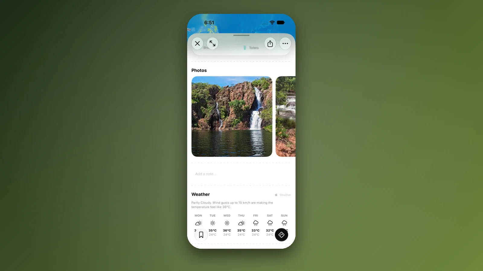
AussieCamps lists national parks and campgrounds across the Top End and the Kimberley with the facilities, access and fees the park agency publishes, such as whether a track needs a 4WD, and a 7-day forecast from Apple Weather on each place page. Place details are stored on the phone, so they stay readable when you are out of signal; the map, directions, weather and photos need a connection.
When a campground floods or a road closes, a bookable stay is the quickest fallback. The app lists holiday parks, motels, B&Bs and tours from BookEasy that you can book in the app, and you can save places to a trip and reorder the stops as conditions change.
AussieCamps does not show road closures, flood levels or cyclone warnings, so keep Road Report NT, the Kakadu Access Report, the Main Roads WA Travel Map and the Bureau of Meteorology open beside it.
- Check closures on the agency pages, not in an app
- Save a bookable fallback to the trip
Places along the way
Check before you go
Rules and conditions change. Recheck the official source and the page for your exact park or campground before departure.
- Bureau of Meteorology: tropical cyclones in the Australian region
- Bureau of Meteorology: the northern wet season and the monsoon
- Bureau of Meteorology: tropical cyclone warning services
- Tourism NT: weather and seasons
- Tourism NT: road safety and flooded roads
- Tourism NT: wildlife, crocodiles and stingers
- Tourism NT: cyclones
- Kakadu National Park: access and alerts
- Kakadu National Park: seasons
- Kakadu National Park: park passes
- Kakadu National Park: Jim Jim and Twin Falls closed in 2026
- Tourism NT: Wangi Falls
- Tourism NT: camping in Litchfield National Park
- Main Roads WA: Gibb River Road
- DBCA Explore Parks WA: Kimberley
- DBCA Explore Parks WA: Purnululu National Park
- DFES: cyclone
- WA Health: mosquito-borne virus warnings for the Pilbara and Kimberley
- Tourism NT: why visit in the green season
- Tourism NT: camping around Darwin
- Tourism NT: swimming in the Top End
- Tourism NT: Nitmiluk National Park
- Tourism NT: camping safety
- NT Police, Fire and Emergency Services: flood safety
- Kakadu National Park: when to come
- Kakadu National Park: Jim Jim and Twin Falls
- Kakadu National Park: staying safe
- Main Roads WA: Travel Map
- Shire of Wyndham East Kimberley: road conditions
- DBCA Explore Parks WA: Windjana Gorge National Park
- DBCA Explore Parks WA: Tunnel Creek National Park
- DBCA Explore Parks WA: Karijini National Park
- DBCA Explore Parks WA: Drysdale River National Park
Common questions
Can you camp in the Top End during the wet season?+
Yes, with limits. Tourism NT says you can camp in the build-up and the wet if you have a robust set-up and good shelter, and that Litchfield camping in the wet is not recommended unless your equipment can withstand the rain. Some campgrounds, such as Walker Creek, are open only in the dry season, and flooding closes roads and sites, so check Road Report NT and the park's live alerts each day.
Is the Gibb River Road open in the wet season?+
Usually not. DBCA says the Gibb River Road is closed throughout the wet season, and Main Roads WA says it is often closed during the wet, which generally runs from December to April, and is typically open from May to November. It reopens only when river crossings are low enough and flood repairs are done, and no fixed dates are published.
Is Kakadu open in the wet season?+
Yes, but flooding closes a number of sites. Parks Australia says Burrungkuy (Nourlangie) and Yellow Water are open all year round, and publishes a live Kakadu Access Report for roads, walks and campgrounds. Jim Jim Falls, Twin Falls and Karnamarr campground are closed through 2026 for road and infrastructure upgrades, and Parks Australia expects them to reopen for the 2027 dry season.
When is cyclone season in northern Australia?+
The Bureau of Meteorology's official tropical cyclone season for the Australian region runs from 1 November to 30 April. Follow Bureau warnings and the advice of NT Police, Fire and Emergency Services or the Department of Fire and Emergency Services in Western Australia.
Take it on the road
Save the stops. Plan the whole trip.
Build an ordered route from saved places, calculate the distance and keep dates, notes and to-dos attached.