Townsville to Mount Isa is about 905 km and 11 h 06 min of driving along the Flinders Highway, known as the Overlanders Way, and then the Barkly Highway from Cloncurry. Plan two days at least, and decide on the season before the stops: the stretch around Richmond and Julia Creek has closed under floodwater in recent wet seasons, and towns are the only fuel and shade you can count on.
The Flinders Highway route and its legs
Only one route is covered here, because this guide checked no other road between the two cities. Wikipedia gives the Flinders Highway as route A6, 775 km from Townsville to Cloncurry and sealed throughout, with the last section finished in November 1976, and says the Barkly Highway (A2) runs west from Cloncurry to Mount Isa. It describes the Overlanders Way as a Queensland State Strategic Touring Route that continues to Tennant Creek. RACQ puts the Townsville to Mount Isa distance at approximately 905 km and recommends April to October for the trip.
The legs below are OSRM figures from town centre to town centre, computed on 21 October 2026, so they add up to about 909 km against the 905 km direct. Tourism NT's itinerary splits the middle as Hughenden to Richmond 115 km and Richmond to Julia Creek 149 km, which the Hughenden to Julia Creek leg includes.
| Leg | Distance | Drive time | Road |
|---|---|---|---|
| Townsville to Charters Towers | 136 km | 1 h 41 min | Flinders Highway |
| Charters Towers to Hughenden | 250 km | 3 h 06 min | Flinders Highway past Pentland and Torrens Creek |
| Hughenden to Julia Creek | 264 km | 3 h 07 min | Flinders Highway through Richmond |
| Julia Creek to Cloncurry | 138 km | 1 h 43 min | Flinders Highway |
| Cloncurry to Mount Isa | 121 km | 1 h 34 min | Barkly Highway |
- One highway all the way
- About 905 km door to door
- April to October is the RACQ window
Where to stop overnight
Hughenden is the natural halfway stop: OSRM puts it 384 km and 4 h 44 min from Townsville, leaving 521 km to Mount Isa. Visit Hughenden describes a council RV park designed for fully self-contained travellers, with a stay of up to 7 nights and a permit by self-registration on site, and its page gives no fee. It also lists Allen Terry Caravan Park on Resolution Street, with amenities, laundry, a fire pit, a dump point and a vehicle wash-down bay.
Julia Creek is the second stop. McKinlay Shire Council describes a designated free camping area on the water's edge, 1.3 km on the eastern side of town, for self-contained RVs, and says portable showers do not count as self-contained. Permits are free and valid for 96 hours, from the camp hosts from April to September and from the Julia Creek Visitor Information Centre from October to March. The council's page lists no open fires and no dumping of black or grey water. Out of Townsville, the AussieCamps data lists Alligator Creek camping area in the Mount Elliot area, about 25 km from the start and 9 km off the highway, with toilets, drinking water and camper trailer sites. Fees and bookings were not checked, so look at the Queensland Parks page before you go. Cloncurry and Mount Isa camping could not be confirmed from council pages, so book a caravan park there before you leave.
- Hughenden is about halfway
- Julia Creek permit: 96 hours, self-contained only
- Book Cloncurry and Mount Isa ahead
Wet season floods and live road information
Check QLDTraffic, which the Department of Transport and Main Roads runs and which maps hazards, crashes, flooding, roadworks and special events. Drive North West QLD gives the number 13 19 40 for current conditions and says summer travel, November to April, can be affected when rain and storms impede plans. McKinlay Shire Council's Flinders Highway road report, current at 4.30 pm on 11 March 2026, showed Julia Creek to Richmond closed by flooding on Boundary Creek and Julia Creek to Cloncurry closed at Eastern Creek Bridge with 300 mm of water over it.
A Queensland Government statement of 15 February 2019 described the highway closed between Richmond and Julia Creek, with traffic detoured through the Landsborough Highway, Winton and Hughenden, and said the worst-hit sections would stay shut for some time. Drive North West QLD adds that water crossings should not be attempted if you are unsure of your vehicle's capabilities. If you are travelling between November and April, leave slack in the plan and expect to wait in a town rather than push on.
- QLDTraffic and 13 19 40
- March 2026: closed at Boundary and Eastern Creeks
- Leave slack from November to April
Fuel, road trains and tiredness
No fuel station list from an operator or a Queensland Government source turned up for this road, so no station is recommended by name here. Drive North West QLD says fuel stops on major highways are rarely more than 200 km apart and that a no fuel sign means none is available. Wikipedia's highway table shows Torrens Creek at 284 km from Townsville, 162 km after Charters Towers at 122 km, and an Outback Queensland listing for the Oasis Exchange Hotel there mentions a petrol station, though it is undated. The table lists no town between Julia Creek (637 km) and Cloncurry (759 km), so fill up at the town you leave rather than hoping for the next one.
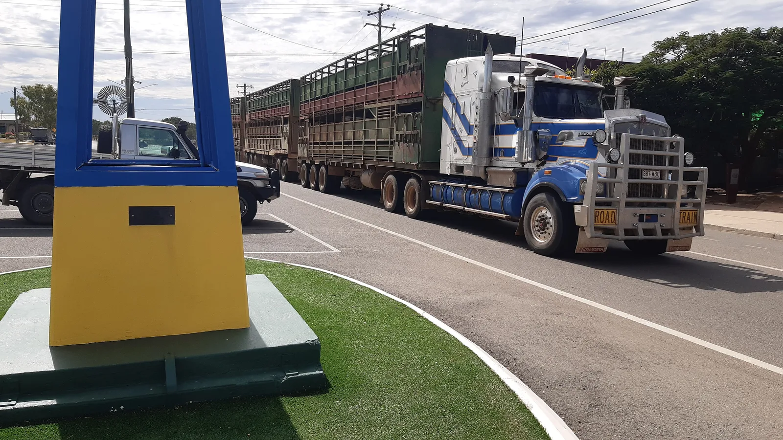
The road trains guide covers overtaking and passing in detail. Drive North West QLD says that when a road train approaches to overtake you, you should move as far left as possible and stop if necessary, and that you should allow plenty of room when passing because they may move from side to side. It also says long, unchanging stretches can make a driver very tired and advises avoiding night driving as much as possible. The road trip fuel guide helps you budget range.
- Fill up in the town you leave
- Torrens Creek listing is undated
- Move left and stop for an overtaking road train
Porcupine Gorge National Park
Porcupine Gorge is a side trip north of Hughenden on the Kennedy Developmental Road. Queensland Parks says, in a search extract of its page, that the access to the lookout and camping area is fully sealed, that the lookout turn-off is 60 km north of Hughenden, and that the Pyramid camping area, day-use area and walking track turn-off is a further 11.7 km north. It says camping at the Pyramid area needs a permit booked online before your visit, well ahead in peak season from April to October, and that fees apply. The fee amounts were not available to this guide.
Visit Hughenden says the Pyramid campground suits tents, caravans, camper trailers and motorhomes, with composting toilets and picnic tables, that campfires are allowed only in the steel fire rings and you must bring your own firewood, and that generators are not permitted. It says pets are not allowed because it is a national park. The Queensland camping rules guide covers the wider rules.
- Book Pyramid online before you go
- Sealed all the way from Hughenden
- No pets, no generators
Rest areas and dump points
Within 15 km of the route the AussieCamps data lists no roadside rest area, which only describes what the data holds. The overnight rest area guide explains where sleeping in a vehicle is and is not allowed. The data does list a free dump point at Cloncurry/Mary Kathleen Memorial Park, with drinking water, toilets and accessible parking, and no washout tap shown. Visit Hughenden says Allen Terry Caravan Park has a dump point, and the dump points guide lists others to look up.
Mobile coverage along the highway was not confirmed from any official source, so download the route and your bookings before you leave Townsville and tell someone your plan.
- Dump point at Cloncurry in the data
- Another at Allen Terry Caravan Park
- Download before you leave coverage
Plan the Townsville to Mount Isa drive in AussieCamps
Build the drive as a trip in AussieCamps: Townsville, Hughenden, Julia Creek, Cloncurry and Mount Isa as stops, so each leg shows its distance, drive time and a forecast for the day you expect to arrive. The app holds 1,838 campgrounds, 5,552 rest areas and 1,393 dump points sourced from park agencies, road authorities and public datasets, and a place page for a Queensland park shows its photos, facilities and the weather forecast.
Out of signal, stored place details, saved places and guides still open, whereas map tiles, routing, weather and photos want a connection, so set the trip up in Townsville. It is iPhone only and costs nothing to download, with in-app purchases available. For the coast road north, read the Brisbane to Cairns guide, and the Queensland Outback Way guide covers the outback road to the south.
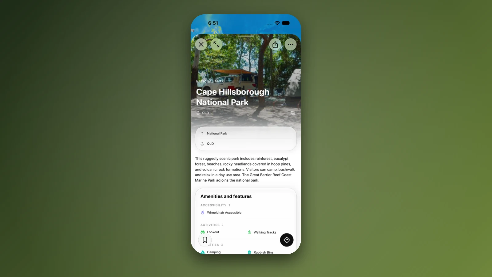
- Stops in order from Townsville
- Forecast for each arrival day
- Set it up while you have signal
Places along the way
Check before you go
Rules and conditions change. Recheck the official source and the page for your exact park or campground before departure.
- OSRM routing on OpenStreetMap data (Townsville to Mount Isa, computed 21 October 2026)
- Wikipedia: Flinders Highway, Queensland
- Wikipedia: Overlanders Way
- RACQ: Overlanders Way road trip
- Tourism NT: Overlanders Way
- QLDTraffic (Department of Transport and Main Roads)
- Drive North West QLD: road safety
- McKinlay Shire Council: Flinders Highway road report, 11 March 2026
- Queensland Government statement, 15 February 2019: Flinders Highway closure
- McKinlay Shire Council: visitor information (Julia Creek free RV site)
- Visit Hughenden: camping and caravanning
- Outback Queensland: Torrens Creek
- Outback Queensland: Oasis Exchange Hotel, Torrens Creek
- Queensland Parks: Porcupine Gorge National Park
Common questions
How far is Townsville to Mount Isa by road?+
RACQ gives the Overlanders Way from Townsville to Mount Isa as approximately 905 km, and an OSRM calculation lands on the same figure with about 11 hours of wheel time. Two driving days is the practical minimum, and Hughenden sits close to the middle.
Does the Flinders Highway flood?+
Yes. In March 2026 a McKinlay Shire Council road report showed the highway shut at Boundary Creek west of Richmond and at Eastern Creek Bridge near Julia Creek, and in February 2019 a Queensland Government statement described it closed for some time after major flooding. A sealed road does not mean an open one in the wet, so look at QLDTraffic before each leg.
Is there free camping between Townsville and Mount Isa?+
Two council sites are confirmed. McKinlay Shire runs a free RV site at Julia Creek for fully self-contained vehicles, and Visit Hughenden describes a council RV park for self-contained travellers. Both are for self-contained vehicles only, and camping at the Cloncurry and Mount Isa end could not be confirmed from council pages.
Can I camp at Porcupine Gorge without booking?+
No booking, no site. Queensland Parks says camping at the Pyramid area needs a permit booked online before you visit, and that fees apply. The road in from Hughenden is sealed all the way.
Places to camp in Queensland


Take it on the road
Save the stops. Plan the whole trip.
Build an ordered route from saved places, calculate the distance and keep dates, notes and to-dos attached.