Melbourne to Brisbane is about 1,675 km and about 22 hours of driving on the inland route, the Newell Highway through Tocumwal, Dubbo, Moree and Goondiwindi, by OSRM routing. The coastal option through Sydney and the Pacific Highway is about 1,784 km, and it takes less time because more of it is dual carriageway.
Melbourne to Brisbane routes compared
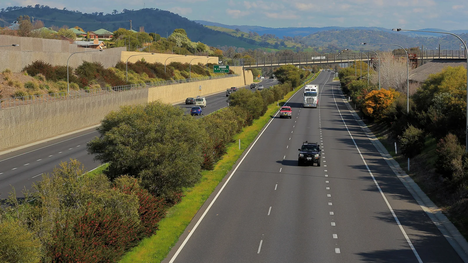
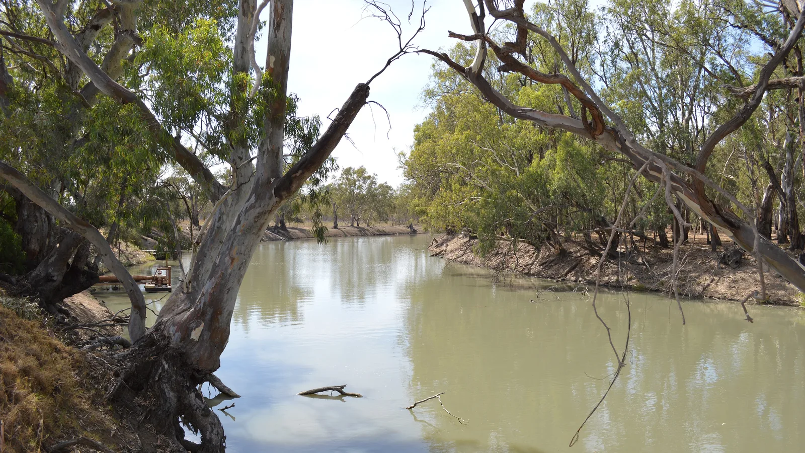
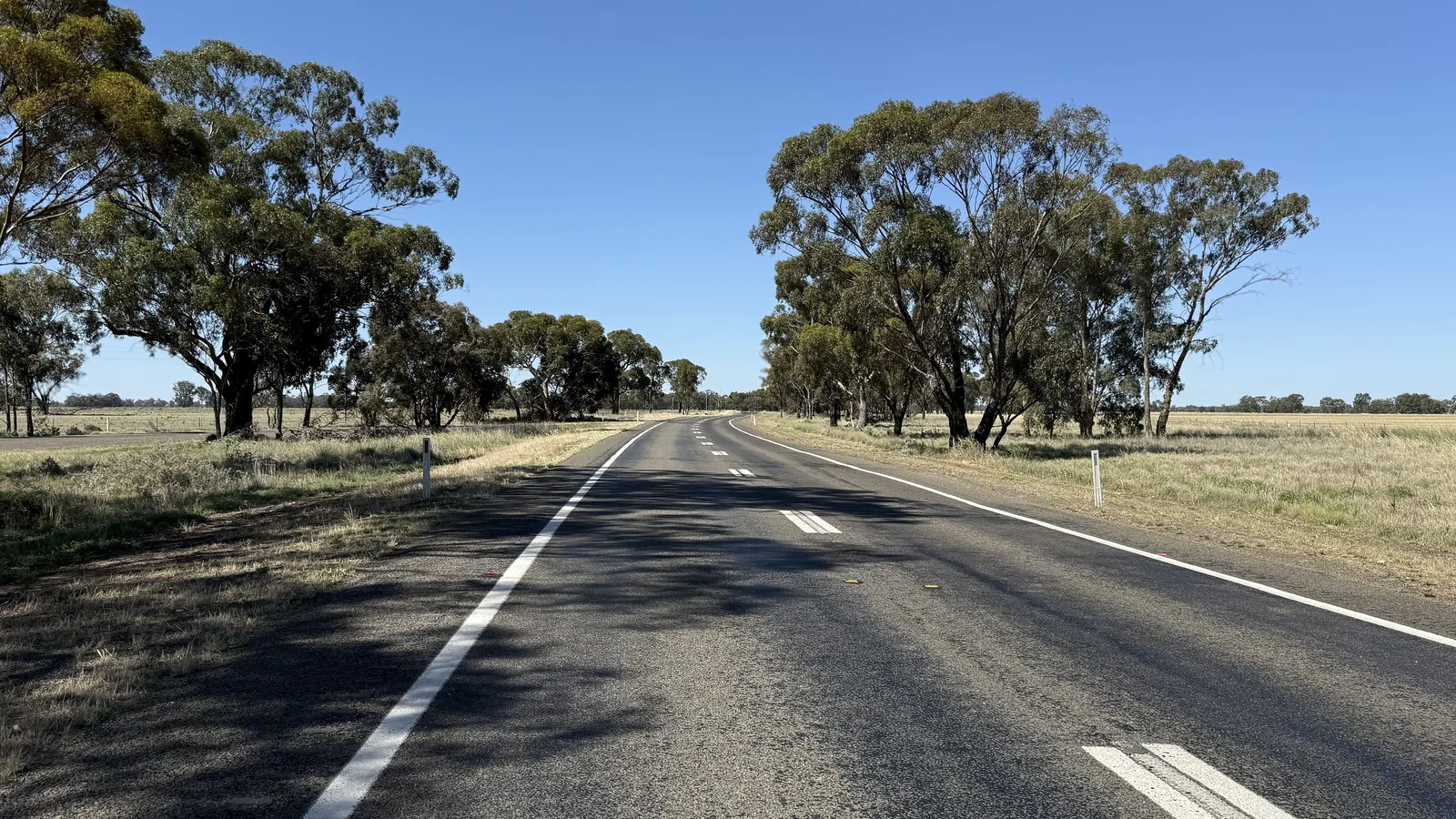
The inland route leaves Melbourne through Shepparton, crosses the Murray at Tocumwal and follows the Newell Highway (A39) through Narrandera, West Wyalong, Parkes, Dubbo, Coonabarabran, Narrabri and Moree to Goondiwindi, then the Gore Highway through Millmerran and Toowoomba to Brisbane. Wikipedia says the Newell is 1,058 km from Tocumwal to Boggabilla and Goondiwindi, and that apart from short four-lane urban sections it is single carriageway with many overtaking lanes. Most rural sections are 110 km/h.
Two alternatives rejoin the Newell at Narrandera or skip it entirely. One uses the Hume Highway to Wagga Wagga, then the Sturt Highway to Narrandera. The other follows the Hume to Sydney and the Pacific Highway to Brisbane, which the Sydney to Melbourne and Brisbane to Sydney drive guides cover in detail. All figures are from OSRM routing on OpenStreetMap data, computed on 21 October 2026, for a car from city centre to city centre with no stops. Towing and fuel stops add time.
| Route | Distance | Drive time | Road | Best for |
|---|---|---|---|---|
| Newell Highway via Tocumwal, then Gore Highway | About 1,675 km | About 21 h 49 min | Mostly single carriageway with overtaking lanes | The shortest drive, outback towns and few tolls |
| Hume Highway to Wagga Wagga, then the Newell | About 1,786 km | About 23 h 1 min | Dual carriageway to Wagga, then as above | Albury or Wagga stops before turning inland |
| Hume Highway to Sydney, then Pacific Highway | About 1,784 km | About 21 h 32 min | Mostly dual carriageway | Coast, services every 100 km or so, Sydney tolls |
- Newell: shortest, single carriageway, long legs
- Via Sydney: longer but faster by the clock
- Add time for towing
The Newell in four days
By OSRM routing, a four-day split is Melbourne to Narrandera about 426 km, Narrandera to Dubbo about 394 km, Dubbo to Moree about 365 km and Moree to Brisbane about 490 km. The legs are Melbourne to Shepparton about 178 km (2 h 20 min), Shepparton to Tocumwal about 82 km (1 h 15 min), Tocumwal to Narrandera about 166 km (2 h 7 min), Narrandera to West Wyalong about 135 km (1 h 35 min), West Wyalong to Parkes about 140 km (1 h 50 min), Parkes to Dubbo about 119 km (1 h 29 min), Dubbo to Coonabarabran about 145 km (1 h 55 min), Coonabarabran to Narrabri about 120 km (1 h 28 min), Narrabri to Moree about 100 km (1 h 13 min), Moree to Goondiwindi about 124 km (1 h 29 min), Goondiwindi to Millmerran about 147 km (1 h 54 min), Millmerran to Toowoomba about 94 km (1 h 23 min) and Toowoomba to Brisbane about 125 km (1 h 46 min).
Three days is possible if you drive about 590 km on the last day, but towing makes four more realistic. These are driving distances without stops.
- Narrandera about 426 km
- Dubbo about 820 km
- Moree about 1,185 km
Where to stop on the Newell
Phone to confirm park details: the park names below come from listings and a 2015 Newell Highway visitor guide. Dubbo Midstate Caravan Park is at 21 Bourke Street in Dubbo. Narrabri Big Sky Caravan Park is at 11 to 35 Tibbereena Street. BIG4 Goondiwindi Holiday Park is at 36 Old Cunningham Highway, and Goondiwindi's showground is about 3 km north of town. River Meadows Caravan Park is in Forbes, at the corner of the Newell Highway and River Road, if you want a stop near Parkes.
The AussieCamps data lists Sandy Beach campground at Cudgel near Narrandera, and Murray River campgrounds near Tocumwal and Cobram, including Smithers Beach, Woperana and Quicks Beach. For a break, it lists Narrandera Visitors Centre, Dubbo Tourist Information Centre, McCann Park near West Wyalong and Millmerran rest areas with toilets, picnic tables and a heavy vehicle area. Spring Creek Rest Area, north of Narrabri, opened in September 2025 as the region's largest heavy vehicle rest area, with separate parking for light vehicles and for light vehicles with caravans or trailers, two toilets and picnic shelters. Queensland allows up to 20 hours at a rest area unless a sign says otherwise, New South Wales advice conflicts and Victorian councils can ban overnight stays, so treat them as break stops and read the sign.
- Dubbo, Narrabri and Goondiwindi have caravan parks
- Spring Creek Rest Area suits caravans for a break
- Read the sign at every rest area
Fuel and services
The sources checked give no fuel gap for the Newell. The longest town-to-town legs are Goondiwindi to Millmerran at about 147 km, Dubbo to Coonabarabran at about 145 km and West Wyalong to Parkes at about 140 km, and Gilgandra lies between Dubbo and Coonabarabran. Fuel and opening hours at each small town could not be confirmed, so fill up in the larger towns, such as Narrandera, Dubbo, Narrabri, Moree and Goondiwindi.
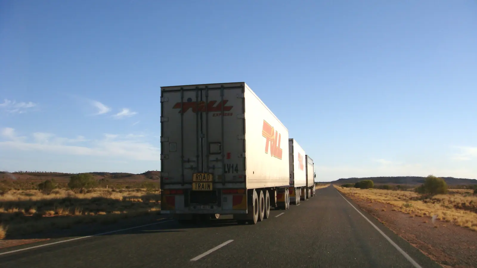
Heavy vehicles make up between 26 and 52 per cent of Newell traffic depending on location, according to Wikipedia, so expect trucks and allow extra time to pass on single carriageway. The Narrabri to Moree pavement upgrade, with five new overtaking lanes, was reported complete in September 2025.
- Fill up at the larger towns
- Plenty of trucks on the Newell
- Overtaking lanes added north of Narrabri
Road conditions, floods and tolls
Check Live Traffic NSW (livetraffic.com, 132 701), QLDTraffic and VicTraffic before each leg. Wikipedia says parts of the Newell flood periodically, particularly north of Moree, at Dubbo and south of Narrandera. In April 2024 the Newell closed between Boggabilla and Moree and traffic was diverted via the Carnarvon and Barwon Highways to Goondiwindi, and it has also closed between Moree and the Queensland border in later floods. No current closure was listed in the sources checked on 21 October 2026.
On the Newell and the Gore Highway you are unlikely to meet tolls, but the ends can. Linkt says its Melbourne Visitor's Pass is good for up to 30 days on any toll road in Melbourne and covers CityLink trips made up to 5 days ago and EastLink trips made up to 3 days ago, and a Queensland road pass can cover trips made up to 5 days ago on all toll roads in Queensland. Which toll roads you meet depends on where you start and finish. On the Sydney route, NSW says you have 72 hours to pay or open an account.
- Live Traffic NSW: 132 701
- North of Moree floods most often
- Check tolls at both ends
Border rules: Victoria, New South Wales and Queensland
Between Victoria and New South Wales, Agriculture Victoria says the Greater Sunraysia Pest Free Area regulation ended in July 2024, so there are no longer restrictions on carrying Queensland fruit fly host produce into or out of Sunraysia, and that Mediterranean fruit fly restrictions apply statewide. No fruit fly checkpoint turned up at Tocumwal or Albury in the sources checked, so check Agriculture Victoria on 136 186 before carrying produce. The Interstate Quarantine site lists a NSW Rice Biosecurity Zone across most of the Murrumbidgee and Murray regions and a Phylloxera Infested Zone around Albury and Corowa.
At Goondiwindi and Boggabilla, Queensland is the one to watch. The Interstate Quarantine site says the whole of Queensland is a biosecurity zone for bananas, grape plants, mangoes and sugarcane, and not to take any plants, soil or items that have been in contact with these plants into Queensland. NSW DPIRD describes the fire ant infested area as about 1,111,800 ha of south east Queensland and parts of northern NSW, with roadside checks across the north of NSW, and it lists soil, mulch, hay, pallets, green waste, compost, manure and heavy vehicles as carriers. Whether the Toowoomba and Brisbane approaches sit inside the zone could not be confirmed, so check the Biosecurity Queensland map and 13 25 23, and NSW DPIRD on 1800 680 244. The interstate biosecurity guide covers the rest.
- No fruit fly checkpoint found at the Murray crossings
- Queensland: no plants, soil or banana items
- Fire ants: soil, mulch, hay
Dump points and the clock change
The AussieCamps data lists dump points at Memorial Park in Wandong, north of Melbourne, and Lions Park at Strathmerton near Tocumwal, both with a washout tap listed. It lists none within 10 km of the New South Wales and Queensland sections of the Newell, which is only the data's coverage: a guide lists a dump point at Moree Showground. Check the dump points guide and call ahead.
Queensland does not use daylight saving and Victoria and New South Wales do: NSW says it runs from Sunday 4 October 2026 to Sunday 4 April 2027, so between those dates the clock moves back one hour at the Queensland border.
- Wandong and Strathmerton list a washout tap
- Clock goes back one hour into Queensland until 4 April 2027
Plan the Melbourne to Brisbane drive in AussieCamps
Plan it as a trip in AussieCamps: add each overnight stop in order and it shows the distance and drive time of each leg, with a forecast for the day you expect to arrive. AussieCamps lists 1,838 campgrounds, 5,552 rest areas and 1,393 dump points from park agencies, road authorities and public datasets, so you can see what is near each night's stop before you commit.
Stored place details, saved places and guides work offline, while map tiles, routing, weather and photos need signal, and there are long stretches of the Newell without it. Open the trip in coverage before you leave each town. AussieCamps runs on iPhone only, and it is free to download, with in-app purchases.
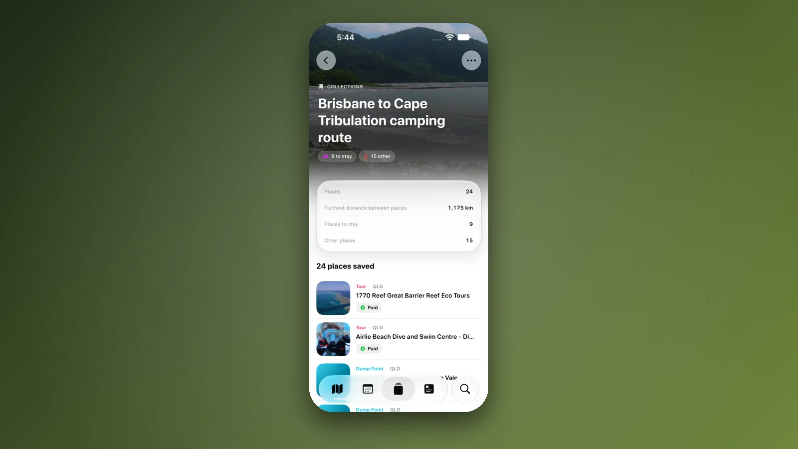
- Add each overnight stop
- Leg distances and drive times
- Open the trip in coverage
Places along the way
Check before you go
Rules and conditions change. Recheck the official source and the page for your exact park or campground before departure.
- OSRM routing on OpenStreetMap data (Melbourne to Brisbane, computed 21 October 2026)
- Wikipedia: Newell Highway
- Wikipedia: Gore Highway
- Linkt: Visitor's Pass for Melbourne
- Linkt: Brisbane road passes
- NSW Government: paying a toll or toll notice
- Interstate Quarantine: quarantine zones
- Agriculture Victoria: regulatory changes in the Greater Sunraysia region
- Queensland Government: fire ants
- NSW Government: daylight saving in NSW
- Live Traffic NSW
- QLDTraffic
Common questions
How far is it to drive from Melbourne to Brisbane?+
About 1,675 km by the inland Newell Highway route, about 1,786 km via Wagga Wagga and about 1,784 km via Sydney and the Pacific Highway, by OSRM routing on OpenStreetMap data. That is about 22 hours of driving on the Newell, so plan three to four days.
Which road is the Newell Highway?+
The Newell Highway (A39) runs 1,058 km from Tocumwal on the Murray River to Boggabilla and Goondiwindi, according to Wikipedia, and is the longest highway in New South Wales. Apart from short urban sections it is single carriageway with overtaking lanes, and the Gore Highway continues it to Toowoomba.
Does the Newell Highway flood?+
Yes. Wikipedia says sections are subject to periodic flooding from the rivers it crosses, particularly north of Moree, at Dubbo and south of Narrandera. The Newell has closed between Moree and Boggabilla in past floods, so check Live Traffic NSW and QLDTraffic before each leg.
Can I bring soil, mulch or hay from Victoria or New South Wales into Queensland?+
Be careful. Queensland is a biosecurity zone for bananas, grape plants, mangoes and sugarcane, and fire ant rules cover soil, mulch, hay and plants in south east Queensland and northern New South Wales. Check Biosecurity Queensland on 13 25 23 and NSW DPIRD on 1800 680 244 before you carry anything like that.
Take it on the road
Save the stops. Plan the whole trip.
Build an ordered route from saved places, calculate the distance and keep dates, notes and to-dos attached.