Brisbane to Sydney is about 907 km and roughly 10 h 52 min on the Pacific Motorway and Pacific Highway along the coast, or about 970 km and roughly 13 h 8 min on the New England Highway inland, by OSRM routing without stops. The coast road is four lanes all the way, the inland road is quieter, and either is an easy two or three day drive.
Brisbane to Sydney routes compared
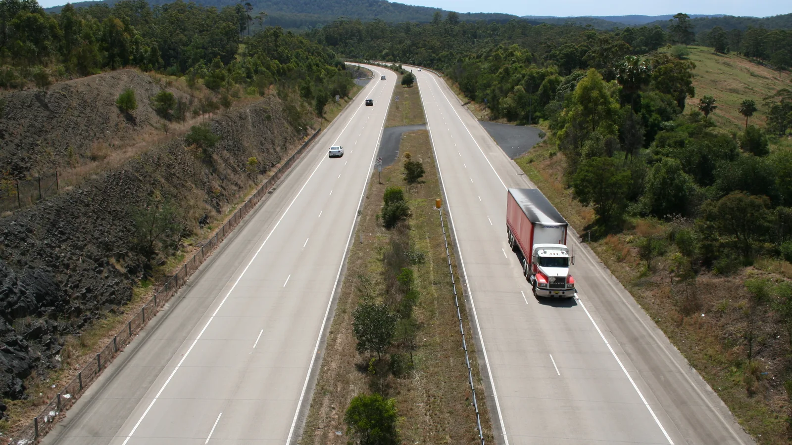
The coast route is the Pacific Motorway out of Brisbane, then the Pacific Highway through Tweed Heads, Ballina, Grafton, Coffs Harbour, Port Macquarie, Taree and Newcastle. An Australian Government infrastructure listing says the full 657 km of the Pacific Highway between Hexham and the Queensland border has been open as a four-lane divided road since 17 December 2020. The inland route follows the Cunningham Highway to Warwick, then the New England Highway through Tenterfield, Glen Innes, Armidale, Tamworth and Singleton.
The distances and times are from OSRM routing on OpenStreetMap data, checked on 3 November 2026, for a car from city centre to city centre with no stops. Towing, fuel and meal stops add more. A third option stays on the Pacific Highway but detours through Forster and Bulahdelah near the Myall Lakes, adding about 33 km and 45 minutes.
| Route | Distance | Drive time | Road | Best for |
|---|---|---|---|---|
| Pacific Motorway and Pacific Highway | About 907 km | About 10 h 52 min | Four-lane divided road, 110 km/h on motorway-standard sections | Beaches, towns and easy services |
| New England Highway via Warwick | About 970 km | About 13 h 8 min | Mostly single carriageway with overtaking lanes | Quieter roads, cooler highlands, wine country |
| Pacific Highway via Forster | About 33 km and 45 min more than direct | Adds about 45 min between Taree and Newcastle | Pacific Highway with a lakes detour | A Myall Lakes night |
- Coast: four lanes, busier, more towns
- Inland: mostly single carriageway with overtaking lanes
- Forster detour adds about 33 km
The coast route in three days
A three-day split by OSRM routing is Brisbane to Coffs Harbour about 383 km, Coffs Harbour to Newcastle about 385 km, and Newcastle to Sydney about 161 km. Driving into each town centre adds distance, so these legs add up to more than the through route: Brisbane to Tweed Heads about 102 km (1 h 20 min), Tweed Heads to Ballina about 87 km (1 h 7 min), Ballina to Grafton about 136 km (1 h 44 min), Grafton to Coffs Harbour about 85 km (1 h 7 min), Coffs Harbour to Port Macquarie about 154 km (1 h 55 min), Port Macquarie to Taree about 80 km (1 h 4 min), Taree to Newcastle about 172 km (2 h 14 min) and Newcastle to Sydney about 161 km (2 h 12 min).
For night one, Banana Coast Caravan Park and Reflections Coffs Harbour Holiday Park are both on the Pacific Highway at Coffs Harbour. Check availability and prices with the park. Port Macquarie is the other natural break, about 537 km from Brisbane. The AussieCamps data lists Diamond Head, Indian Head and Kylies Beach campgrounds in Crowdy Bay National Park, near Port Macquarie, and Mungo Brush, Bombah Point and other Myall Lakes campgrounds near Bulahdelah, all national park campgrounds with a park entry fee listed.
- Coffs Harbour about 383 km from Brisbane
- Port Macquarie about 537 km
- National park campgrounds list a park entry fee
The New England Highway in three days
Inland, a three-day split is Brisbane to Tenterfield about 266 km, Tenterfield to Tamworth about 300 km, and Tamworth to Sydney about 407 km. By OSRM the legs are Brisbane to Warwick about 156 km (2 h 11 min), Warwick to Tenterfield about 110 km (1 h 28 min), Tenterfield to Glen Innes about 92 km (1 h 12 min), Glen Innes to Armidale about 97 km (1 h 23 min), Armidale to Tamworth about 111 km (1 h 36 min), Tamworth to Scone about 132 km (1 h 50 min), Scone to Singleton about 74 km (1 h 8 min) and Singleton to Sydney about 201 km (2 h 34 min).
Tenterfield has Tenterfield Lodge Caravan Park and a second park on Rouse Street, and Bald Rock campground in Bald Rock National Park is a short drive away. Armidale has Armidale Tourist Park and BIG4 Armidale Highlander Van Village, and Tamworth has Austin Tourist Park and Paradise Tourist Park. Near Cunninghams Gap, the AussieCamps data lists Spicers Gap, Manna Gum and Poplar Flat camping areas in Main Range National Park. Wikipedia says the highway can see frost and snow in winter between the Moonbi Ranges and Stanthorpe, so check Live Traffic NSW in winter.
- Tenterfield about 266 km
- Tamworth about 566 km
- Winter frost and snow possible on the highlands
Fuel and services
The sources checked list no fuel gap on either route, because both pass through a town roughly every hour. The longer gaps between towns are Taree to Newcastle at about 172 km and Coffs Harbour to Port Macquarie at about 154 km on the coast, and Tamworth to Scone at about 132 km on the New England. Fill up at the larger town before a long leg, since fuel and opening hours at each smaller town could not be confirmed.
Rest areas in the AussieCamps data on the coast include Macksville Lions Park near Nambucca Heads and Four Mile Hill Rest Area in the Mid-Coast, both listing toilets, picnic tables and a heavy vehicle area. Queensland says rest areas are not camping sites and allows up to 20 hours unless a sign says otherwise. In New South Wales the official advice conflicts, so read the sign. The rest area guide has the details.
- Longest gaps: 172 km coast, 132 km inland
- Rest areas are for a break, not a bed
Road conditions, tolls and flood closures
Check Live Traffic NSW (livetraffic.com, 132 701) and QLDTraffic. The Pacific Highway closed between Ballina and Grafton in the March 2022 floods and heavy vehicles were detoured inland, so after heavy rain check before you leave and use the New England Highway as the fallback. No current closure was listed in the sources checked on 21 October 2026. Roadworks include an overtaking lane south of Tamworth due in late March 2027.
Both ends have tolls. NSW says that if you travel on a toll road without an account or pass you have 72 hours to pay or open an account, and Service NSW lists a casual pass for visitors that covers up to 30 days. Linkt says a Queensland road pass can cover trips made up to 5 days ago on all toll roads in Queensland. Which toll roads you meet depends on your route into each city, so check Linkt and Transport for NSW. The Pacific Highway north of Hexham has no tolls.
- Live Traffic NSW: 132 701
- Floods can close the Pacific Highway
- NSW tolls: 72 hours to pay
Border rules between Queensland and New South Wales
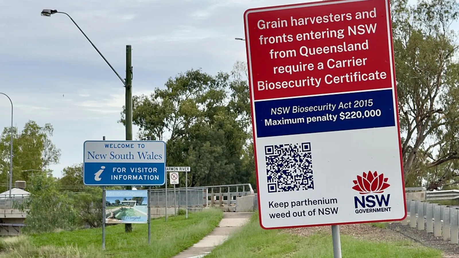
The main rule at this border is about fire ants, not fruit fly. NSW DPIRD says anyone moving fire ant carriers out of the red, orange or yellow zones on its map must comply with the current Biosecurity (Fire Ant) Emergency Order, and carriers include soil, mulch, compost, manure, hay, green waste, pallets, packaging, containers and heavy vehicles. Queensland lists soil, manure, hay, straw, plants and their pots, mulch and sawdust. NSW runs roadside checks across the north of the state, and vehicles moving materials in breach are directed to return to Queensland. Caravans and camping gear are not on those lists, but the rules are written for carrier materials, so check NSW DPIRD on 1800 680 244 or Biosecurity Queensland on 13 25 23 about anything you carry. A fire ant nest was also found in Sydney's inner west in October 2026, so check NSW DPIRD for the control order.
Plant rules apply too. The Interstate Quarantine site says the whole of Queensland is a biosecurity zone for bananas, grape plants, mangoes and sugarcane, and to not take any plants, soil or items that have been in contact with these plants into Queensland. It also says the NSW Banana Bunchy Top Virus Control Zone covers the Tweed, Lismore, Ballina and Byron areas, which the Pacific route crosses, and to not move banana plants, bells, pseudo stems or leaves out of it. No Queensland and NSW fruit rule for travellers turned up in the sources checked. The interstate biosecurity guide covers the rest.
- Fire ants: soil, mulch, hay and plants
- Banana plants must not leave the Tweed to Byron zone
- Check NSW DPIRD and Biosecurity Queensland
Dump points and the clock change
The AussieCamps data lists dump points on the coast at Coffs Harbour Moonee Street Tourist Park (no washout tap listed), Diamond Waters Caravan Park at Dunbogan (washout tap listed) and Soldiers Point Big4 at Port Stephens (washout tap listed). On the inland route it lists Maitland Visitor Information Centre (washout tap listed), about 10 km off the line. That is what the data covers, not every dump point on the road, so check the dump points guide.
Queensland does not use daylight saving, and New South Wales does: NSW says it runs from Sunday 4 October 2026 to Sunday 4 April 2027, so between those dates New South Wales is one hour ahead of Queensland. Plan check-in times and campground gate hours on the New South Wales side with that hour in mind.
- Dunbogan and Port Stephens list a washout tap
- NSW is one hour ahead until 4 April 2027
Plan the Brisbane to Sydney drive in AussieCamps
Build the drive as a trip in AussieCamps: add the overnight stops in order and it shows the distance and drive time between each, with a forecast for the day you plan to arrive at each stop. AussieCamps lists 1,838 campgrounds, 5,552 rest areas and 1,393 dump points from park agencies, road authorities and public datasets, and a place page carries the facilities those sources publish.
Stored place details, saved places and guides work with no signal. Map tiles, routing, weather and photos need a connection, so open the trip while you are in coverage. AussieCamps runs on iPhone only, and it is free to download, with in-app purchases.
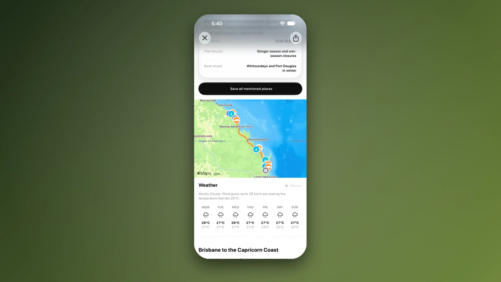
- Add each night as a stop
- Forecast for each arrival day
- Mind the clock change at the border
Places along the way
Check before you go
Rules and conditions change. Recheck the official source and the page for your exact park or campground before departure.
- OSRM routing on OpenStreetMap data (Brisbane to Sydney, checked 3 November 2026)
- Australian Government: Pacific Highway upgrade, Hexham to the Queensland border
- Wikipedia: Pacific Highway (Australia)
- Wikipedia: New England Highway
- NSW DPIRD: red imported fire ant
- Queensland Government: fire ants
- Interstate Quarantine: quarantine zones
- NSW Government: paying a toll or toll notice
- Service NSW: pay a toll notice
- Linkt: Brisbane road passes
- NSW Government: daylight saving in NSW
- Australian Government: time zones and daylight saving
- Live Traffic NSW
- QLDTraffic
Common questions
How long does it take to drive from Brisbane to Sydney?+
About 10 h 52 min on the Pacific Motorway and Pacific Highway, about 907 km, or about 13 h 8 min on the New England Highway, about 970 km, by OSRM routing without stops. Most people split it over two or three days.
Is the Pacific Highway between Brisbane and Sydney all four lanes?+
Yes. An Australian Government infrastructure listing says the full 657 km between Hexham and the Queensland border has been open as a four-lane divided road since 17 December 2020. The New England Highway is mostly single carriageway with overtaking lanes.
Are there tolls between Brisbane and Sydney?+
Yes at both ends. Brisbane and Sydney have tolled motorways, and NSW says you have 72 hours to pay or open an account if you drive a Sydney toll road without a pass. Linkt says a Queensland road pass can cover trips made up to 5 days ago. Check which toll roads your route into each city uses.
Can I take soil, mulch or plants across the Queensland and New South Wales border?+
Be careful. Fire ant rules in both states restrict carrier materials such as soil, mulch, hay, manure and plants, and NSW runs roadside checks across the north of the state. Check NSW DPIRD on 1800 680 244 or Biosecurity Queensland on 13 25 23 about anything you are carrying.
Take it on the road
Save the stops. Plan the whole trip.
Build an ordered route from saved places, calculate the distance and keep dates, notes and to-dos attached.