Brisbane to Coffs Harbour is about 470 km down the Pacific Highway, and it is the easiest of the north coast drives: mostly dual carriageway, beaches every hour and a good place at the end. It is a comfortable day or a lazy two, with a night at Byron Bay or Yamba.
The route and how long it takes
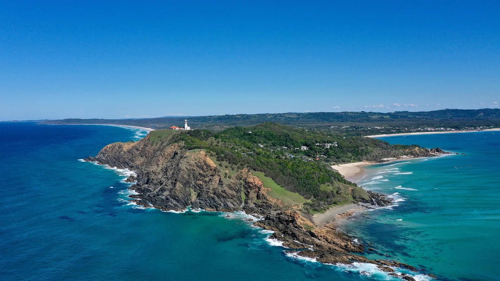
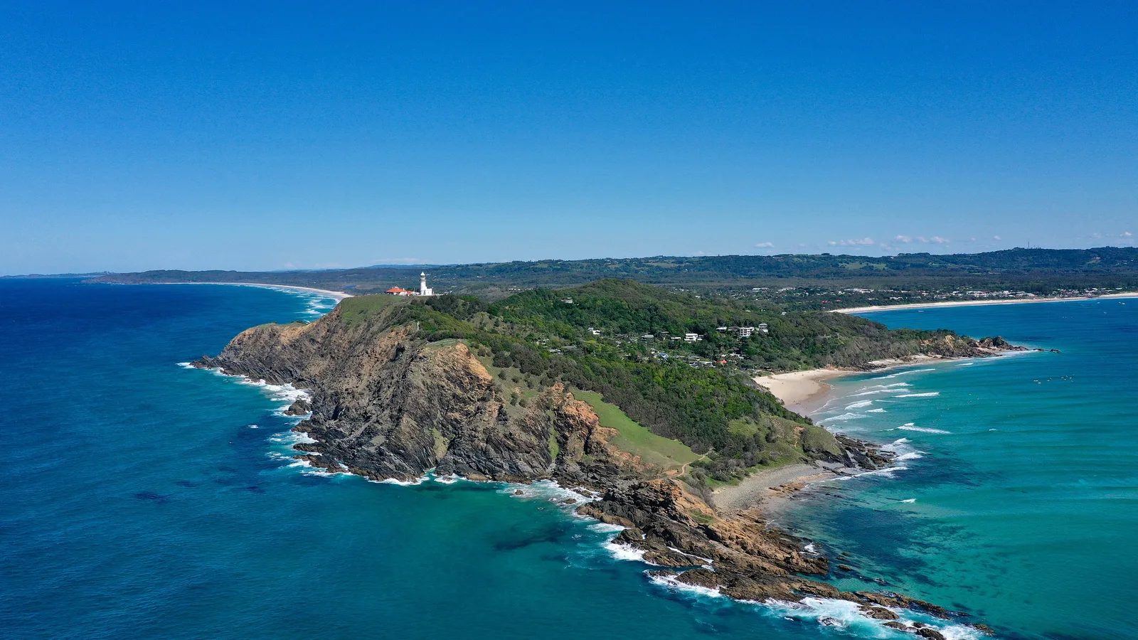
The route is the Pacific Highway (M1) south from Brisbane through the Gold Coast, across the border at Tweed Heads, then past Byron Bay, Ballina, Grafton and on to Coffs Harbour. Almost all of it is dual carriageway, with towns every half hour or so.
Allow five to six hours for the drive, plus stops. The Brisbane to Byron Bay guide covers the first part and the Sydney to Byron Bay guide covers the road on the New South Wales side.
| Leg | Distance | Drive time | Where to stop |
|---|---|---|---|
| Brisbane to Byron Bay | About 165 km | About 2 h | Gold Coast or Byron Bay |
| Byron Bay to Yamba | About 140 km | About 1.5 h | Ballina or Yamba |
| Yamba to Coffs Harbour | About 160 km | About 2 h | Grafton or Coffs Harbour |
- Five to six hours of driving
- Towns every half hour
- Dual carriageway almost all the way
Fuel, tolls and the border
Fuel is easy to find along the highway. The Brisbane end has tolled motorways, and the toll roads guide explains how visitors pay. The Pacific Highway south of the border is toll free.
From October to April, New South Wales is on daylight saving and Queensland is not, so the clock changes at Tweed Heads. Check your arrival time and your booking times.
- Check tolls near Brisbane
- Toll free in New South Wales
- Border time change in summer
Camping on the north coast
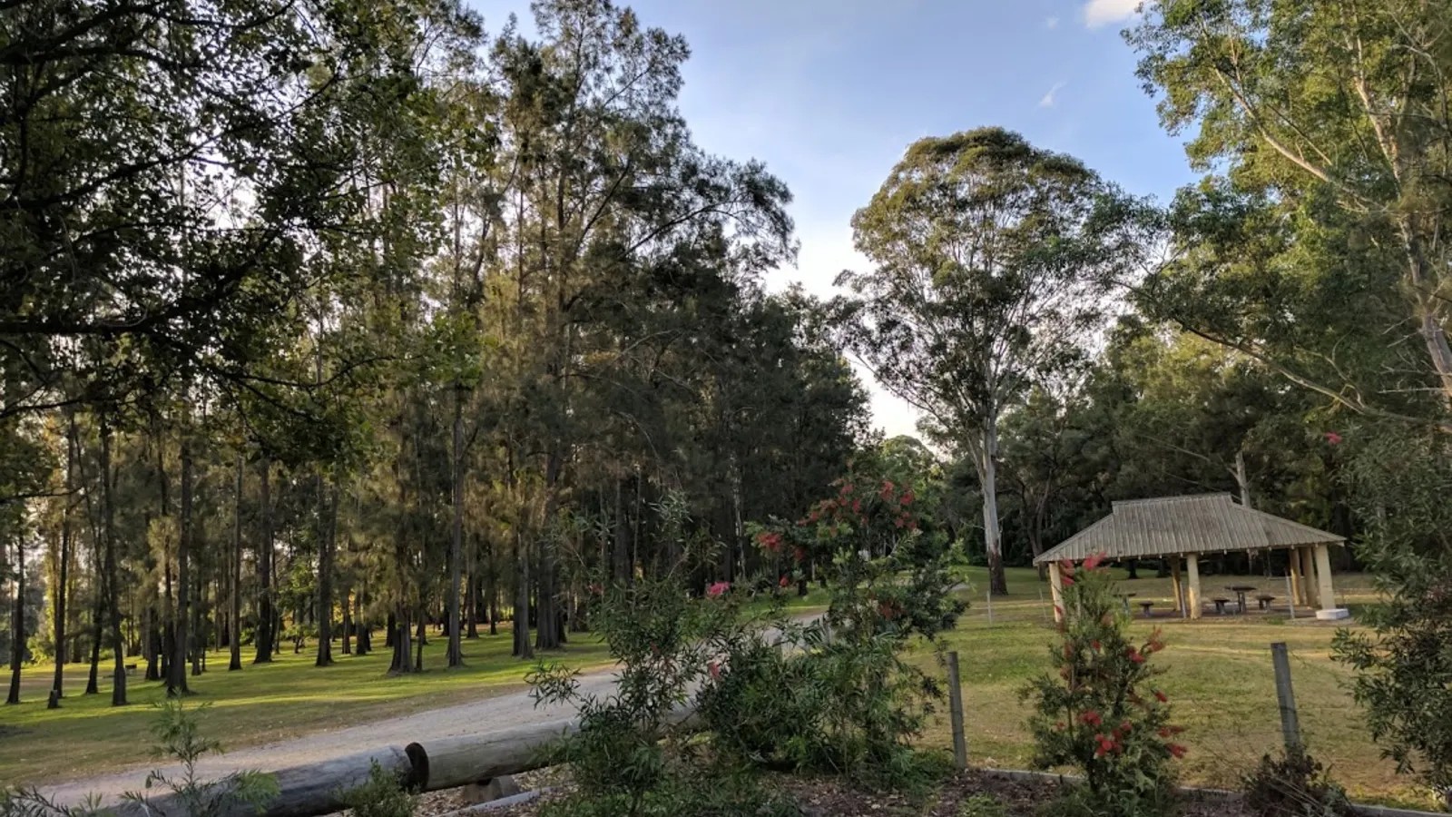
Caravan parks and holiday parks carry most nights: Byron Bay, Ballina, Yamba, Grafton and Coffs Harbour all have parks, and there are national park campgrounds at Yuraygir and Bundjalung along the way. The camping rules guide for New South Wales covers where overnight stays are allowed, and the overnight rest area guide covers the signs.
Parks in Byron Bay and Coffs Harbour fill quickly in summer and school holidays, so book ahead. Brunswick Heads and Lennox Head are good alternatives close to Byron.
- Parks in every coastal town
- National park campgrounds
- Book early in summer
Plan the Brisbane to Coffs Harbour drive in AussieCamps
Build the drive as a trip in AussieCamps: add Byron Bay, Yamba and Coffs Harbour in order and it shows the distance and drive time of each leg, with a forecast for the day you expect to arrive. AussieCamps lists 1,838 campgrounds, 5,552 rest areas and 1,393 dump points from park agencies, road authorities and public datasets, and each place page shows the facilities those sources publish.
Open the trip while you still have a connection, because map tiles, routing and weather need one. The iPhone app is free to download, with in-app purchases.
- Add each overnight stop in order
- Forecast for each arrival day
- Open the trip before you leave Brisbane
Places along the way
Check before you go
Rules and conditions change. Recheck the official source and the page for your exact park or campground before departure.
Common questions
How far is Brisbane to Coffs Harbour?+
About 470 km on the Pacific Highway, which is roughly 5 to 5.5 hours of driving. It is an easy day trip or a relaxed overnight with a stop at Byron Bay or Yamba.
Is the Pacific Highway dual carriageway all the way?+
Almost all of it is now, which makes the drive quicker and safer. Speed limits and roadworks vary, so check Live Traffic NSW and QLDTraffic before you leave.
Is there a time change on the way?+
From October to April, New South Wales is on daylight saving and Queensland is not, so you lose an hour crossing the border going south and gain it going north.
Where should I stop between Brisbane and Coffs Harbour?+
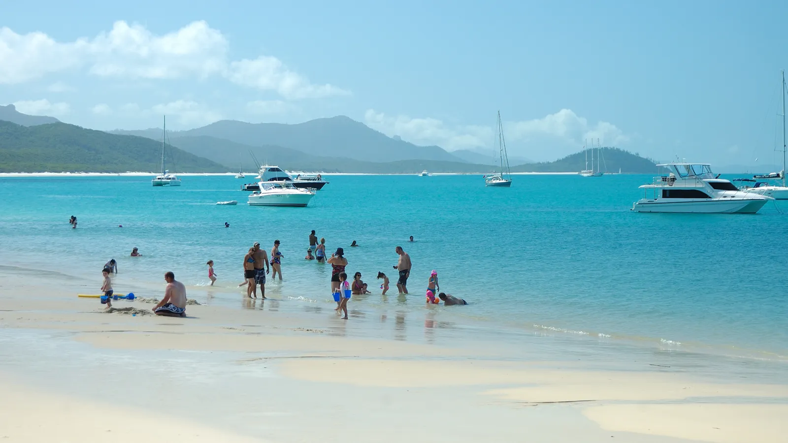
Popular stops are Byron Bay, Ballina, Yamba and Grafton, with Brunswick Heads and Lennox Head for quieter beaches.
Take it on the road
Save the stops. Plan the whole trip.
Build an ordered route from saved places, calculate the distance and keep dates, notes and to-dos attached.