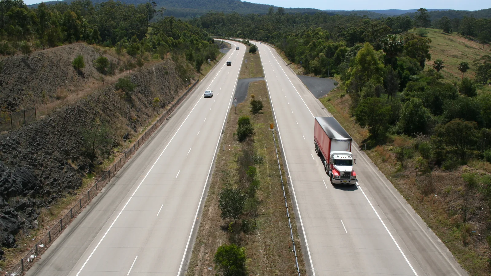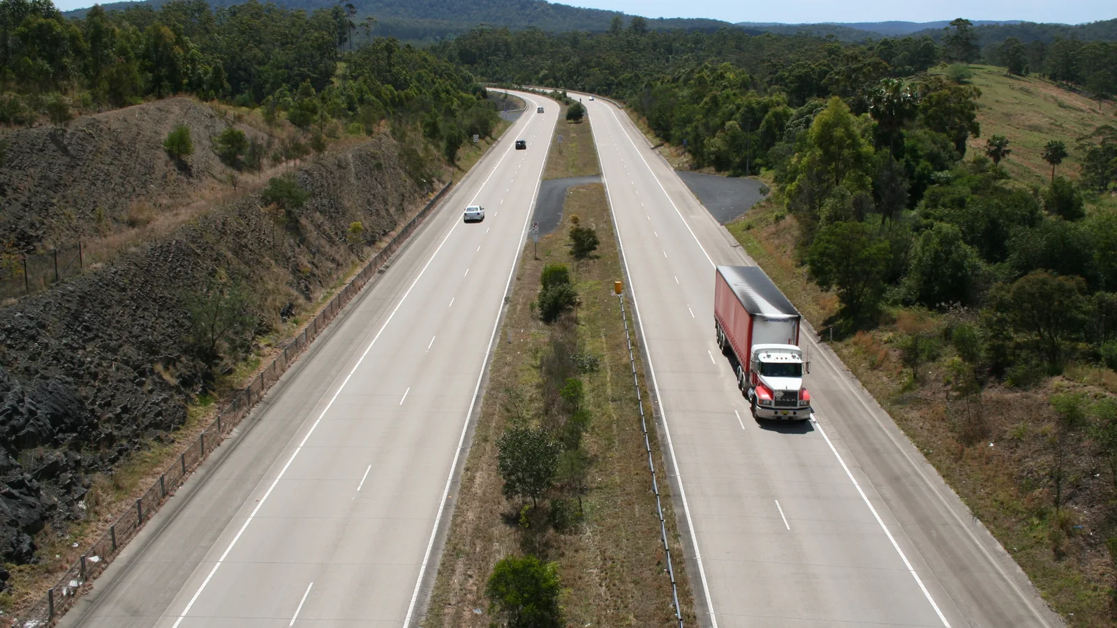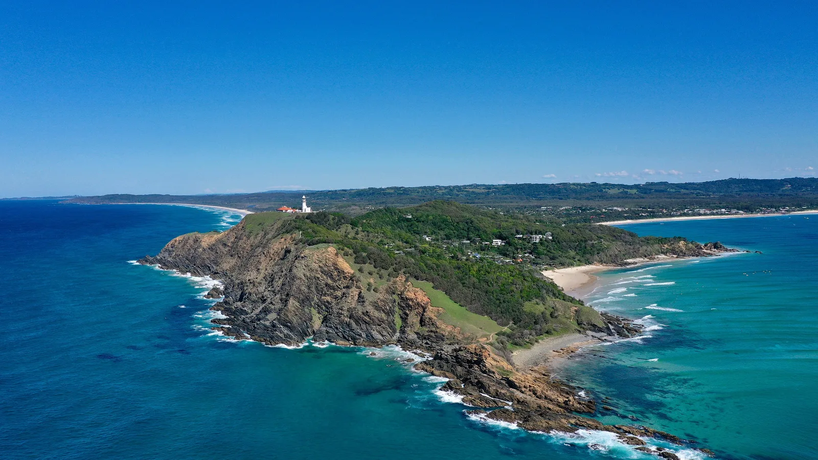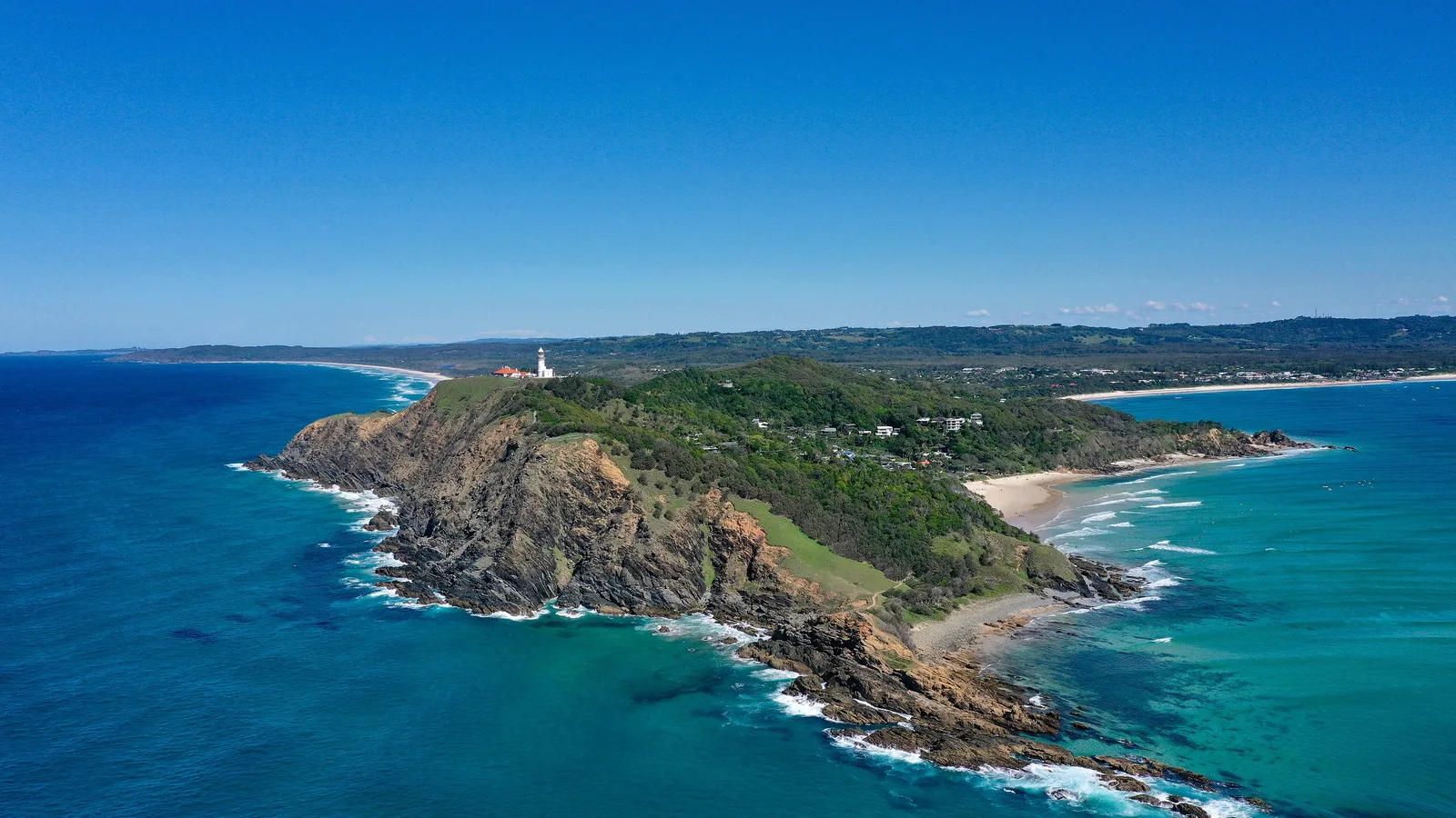
Brisbane to Byron Bay is about 165 to 175 km and roughly two and a half hours on the Pacific Motorway through the Gold Coast and Tweed Heads. Take the hinterland route through Mount Tamborine, Springbrook and Murwillumbah, about 237 km and four hours, if you want waterfalls and rainforest on the way.
Brisbane to Byron Bay routes compared
The direct route is the Pacific Motorway (M1) south to the Gold Coast, Tweed Heads and Byron Bay. By OSRM routing, Brisbane to the Gold Coast is about 76 km, then about 30 km to Tweed Heads and about 66 km to Byron Bay. Travel guides built on Google Maps put it at about 166 km and 1 h 52 min from the Brisbane CBD, so use about 165 to 175 km.
The hinterland route climbs through Mount Tamborine and Springbrook National Park and comes down to Murwillumbah in the Tweed Valley. The inland route follows the Mount Lindesay Highway through Beaudesert and Rathdowney, then the Summerland Way through Kyogle and Lismore. Distances and times are from OSRM routing on OpenStreetMap data, computed on 21 October 2026, for a car with no stops. No distance figure was sourced for the Gold Coast Highway coast road.
| Route | Distance | Drive time | Road | Best for |
|---|---|---|---|---|
| Pacific Motorway (M1) via the Gold Coast and Tweed Heads | About 173 km | About 2 h 27 min | Motorway | A direct drive or a day trip |
| Hinterland via Mount Tamborine, Springbrook and Murwillumbah | About 237 km | About 4 h 10 min | Winding mountain and valley roads | Rainforest walks and waterfalls |
| Inland via Beaudesert, Rathdowney, Kyogle and Lismore | About 339 km | About 5 h 58 min | Mount Lindesay Highway and Summerland Way | A quiet drive away from the coast |
- Motorway: fastest, about two and a half hours
- Hinterland: waterfalls and rainforest, winding roads
- Inland: quiet, with a closed shortcut to avoid
The hinterland route in two days
By OSRM routing, the legs are Brisbane to Mount Tamborine about 72 km (1 h 6 min), Tamborine to Springbrook about 55 km (1 h 11 min), Springbrook to Murwillumbah about 59 km (1 h 3 min) and Murwillumbah to Byron Bay about 51 km (48 min). A trail guide describes the road to Lamington's Green Mountains as sealed but narrow, winding and with many blind corners, so allow extra time and avoid towing a long caravan on it.
In the Tweed Valley, Greenhills Caravan Park is at 488 Tweed Valley Way in South Murwillumbah and Mt Warning Rainforest Park is at 153 Mt Warning Road. At Byron Bay, Reflections Byron Bay Holiday Park is at 1 Lighthouse Road, with powered and unpowered sites and cabins. Its operator says no individual fires or firepits are permitted, and one camping guide notes that the park books out months ahead for Easter and Bluesfest. Check availability and rules with the park.
- Tamborine about 72 km
- Springbrook about 127 km
- Murwillumbah about 186 km
National park camping near the route
QPWS says you must book campsites in advance at The Settlement camping area in Springbrook National Park. At Lamington National Park, O'Reilly's Campground at Green Mountains is privately managed, there is another privately managed campground beside Binna Burra, and remote bush camps need a permit booked online ahead for weekends and school or public holidays. QPWS lists parts of Lamington closed for cyclone damage until 31 December 2026 and says camping permits for closed areas are suspended, and remote bush camps close from 1 December to 31 January each year for regeneration, so check the current QPWS alert before you plan around any of them.
At Mount Barney, QPWS says camping areas can only be reached on foot, with no facilities, and a camping permit is needed, booked online 6 to 8 weeks ahead for public holidays and 3 to 6 weeks ahead the rest of the year. The AussieCamps data lists the Mount Barney bush camps near the Boonah Border Gate and the Lamington camps at Illinbah, Darlington, Echo Point and others, which are walk-in or rough-road bush camps rather than drive-up campgrounds. The Queensland camping rules guide covers permits.
- Springbrook: book ahead
- Lamington: check the QPWS closure alert
- Mount Barney camps are walk-in
Fuel, tolls and road conditions
Both the motorway and hinterland routes pass through towns throughout, so no fuel gap turned up in the sources checked. A fuel gap between Rathdowney and Kyogle on the inland route could not be sourced, so fill up before you leave Rathdowney. The road trip fuel guide shows how to budget the distance.
Check QLDTraffic (13 19 40) and Live Traffic NSW (132 701). Gold Coast hinterland roads including the Gold Coast-Springbrook Road and Beechmont Road have closed after landslips, and Kyogle Council says Lions Road, the shortcut from Rathdowney to Wiangaree, remained closed from Murphy Standfield Bridge to the border in an April 2026 works update, with another notice saying it is open to light traffic only and not for caravans. QPWS says the main access roads to Mount Barney National Park can flood after storms and prolonged periods of rain.
Linkt's list of Queensland toll roads names the Gateway Motorway, Logan Motorway, Clem7, Go Between Bridge, Legacy Way, AirportlinkM7 and Toowoomba Bypass, and the Pacific Motorway is not on it. Linkt says without an account you can buy a pass within 5 days of your first trip, while the Queensland Government says a toll may be paid up to 3 days after, so pay within 3 days to be safe. NSW tolls on this stretch were not researched.
- Avoid Lions Road with a caravan
- Pay Queensland tolls within 3 days
- Check QLDTraffic and Live Traffic NSW
Fire ants and the Queensland and New South Wales border
The border rule that matters is red imported fire ant control. Queensland updated its biosecurity zones from 15 April 2026 in six council areas including Logan, the Gold Coast and Scenic Rim, and lists carriers such as baled hay or straw, manure, mulch, potted plants, quarry and mining materials, soil and turf. NSW DPIRD's emergency order covers three zones: a Queensland infested area, a NSW infested area near Tweed Heads South, and NSW movement control areas within 5 km of the Murwillumbah and Wardell infestations. NSW has said moving soil, mulch, turf and hay out of its Piggabeen and Cobaki border area may require a Record of Movement Declaration and a Plant Health Certificate. Ring NSW DPIRD on 1800 680 244 or Biosecurity Queensland on 13 22 68, and check current boundaries.
No source checked says ordinary cars, caravans, camping gear or firewood are controlled, so do not take that as a clearance, and ask if you carry any of the listed materials. The Interstate Quarantine site also says that the whole of Queensland is a biosecurity zone for bananas, grape plants, mangoes and sugarcane, and not to take any plants, soil or items that have been in contact with these plants into Queensland. It lists no fruit fly restrictions for New South Wales.
- Fire ants: soil, mulch, turf, hay, manure
- Ring NSW DPIRD: 1800 680 244
- Queensland: no banana plants, grape plants, mangoes or sugarcane items
The clock change and Mount Warning
From Sunday 4 October 2026 to Sunday 4 April 2027, New South Wales is on daylight saving and Queensland is not, so the clock goes forward one hour when you cross at Tweed Heads and Coolangatta, and check-in times at Byron Bay run an hour ahead of Brisbane.
Mount Warning (Wollumbin) is reached from Murwillumbah. NPWS local alerts say the summit track and summit have been closed until further notice since 30 June 2023, while the Korrumbyn Creek picnic area, the Lyrebird walking track and visitor facilities at Breakfast Creek stay open, and penalties apply. The alert text itself did not load, so check with the Byron NPWS office on 02 6639 8300.
- Clocks go forward an hour into NSW
- Wollumbin summit: closed since 30 June 2023
- Byron NPWS: 02 6639 8300
Dump points
The AussieCamps data lists no dump points within 12 km of any of the three routes, which is the data's coverage and not a statement that none exist. Beaudesert Caravan and Tourist Park, at 57 to 63 Albert Street, lists a dump point on its tourism listing, and the dump points guide has the rest.
- Check Beaudesert Caravan and Tourist Park for a dump point
Plan the Brisbane to Byron Bay drive in AussieCamps
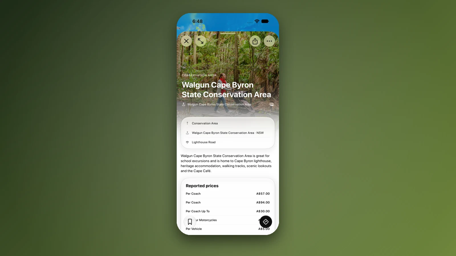
Plan it as a trip in AussieCamps: add the stops, from a Springbrook or Lamington camp to a Byron Bay park, in order and it shows the distance and drive time of each leg, with a forecast for the day you plan to arrive. AussieCamps lists 1,838 campgrounds, 5,552 rest areas and 1,393 dump points from park agencies, road authorities and public datasets, and a place page shows the facilities those sources publish.
Stored place details, saved places and guides work with no signal. Map tiles, routing, weather and photos need a connection, so open the trip before you climb into the hinterland. AussieCamps runs on iPhone only, and it is free to download, with in-app purchases.
- Add each stop in order
- Forecast per arrival day
- Open the trip before the hinterland
Places along the way
Check before you go
Rules and conditions change. Recheck the official source and the page for your exact park or campground before departure.
- OSRM routing on OpenStreetMap data (Brisbane to Byron Bay, computed 21 October 2026)
- Wikipedia: Mount Lindesay Highway
- QPWS: park alert for Lamington National Park
- QPWS: Lamington National Park camping
- Linkt: Queensland toll roads
- Linkt: travelling interstate
- Queensland Government: paying tolls
- NSW Government: remain vigilant for signs of fire ants (8 March 2024)
- FINIA: red imported fire ant biosecurity zone changes (10 May 2026)
- Queensland interstate plant quarantine zone map
- Interstate Quarantine: quarantine zones
- NSW Government: daylight saving in NSW
- Reflections Holiday Parks: Byron Bay
- QLDTraffic
- Live Traffic NSW
Common questions
How far is it from Brisbane to Byron Bay?+
About 165 to 175 km and roughly two and a half hours on the Pacific Motorway (M1) through the Gold Coast and Tweed Heads, by OSRM routing on OpenStreetMap data. The Gold Coast hinterland route is about 237 km and 4 hours, and the inland route via Beaudesert and Kyogle about 339 km and 6 hours.
Is there a time difference between Queensland and Byron Bay?+
Yes, from 4 October 2026 to 4 April 2027. New South Wales runs daylight saving in that period and Queensland does not, so the New South Wales side of the border is one hour ahead and clocks go forward an hour at Tweed Heads.
Can I take soil, mulch or turf from Queensland into New South Wales?+
Not without checking. Red imported fire ant rules cover carriers such as soil, mulch, turf, manure and baled hay moving out of the infested areas, and NSW says moving soil, mulch, turf and hay out of its border zone may need a Record of Movement Declaration and a Plant Health Certificate. Ring NSW DPIRD on 1800 680 244 or Biosecurity Queensland on 13 22 68.
Can I climb Mount Warning (Wollumbin) on the way?+
NPWS local alerts say the summit track and summit have been closed until further notice since 30 June 2023, while the Korrumbyn Creek picnic area and the Lyrebird walking track stay open. The alert text itself did not load when checked, so confirm with the NSW National Parks Byron office on 02 6639 8300 before you go.
Take it on the road
Save the stops. Plan the whole trip.
Build an ordered route from saved places, calculate the distance and keep dates, notes and to-dos attached.