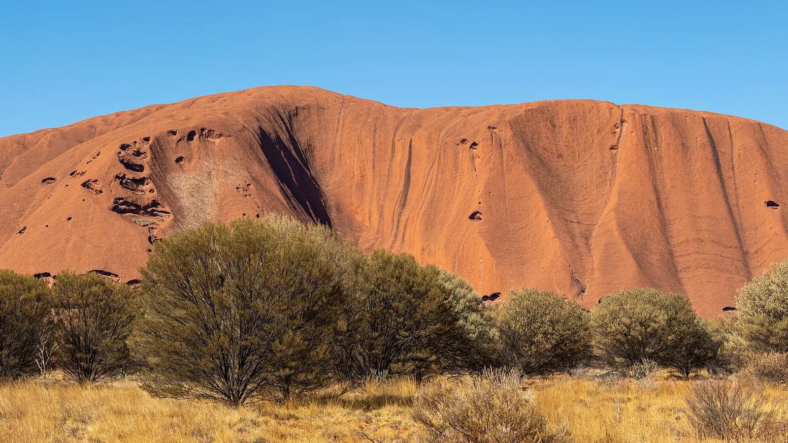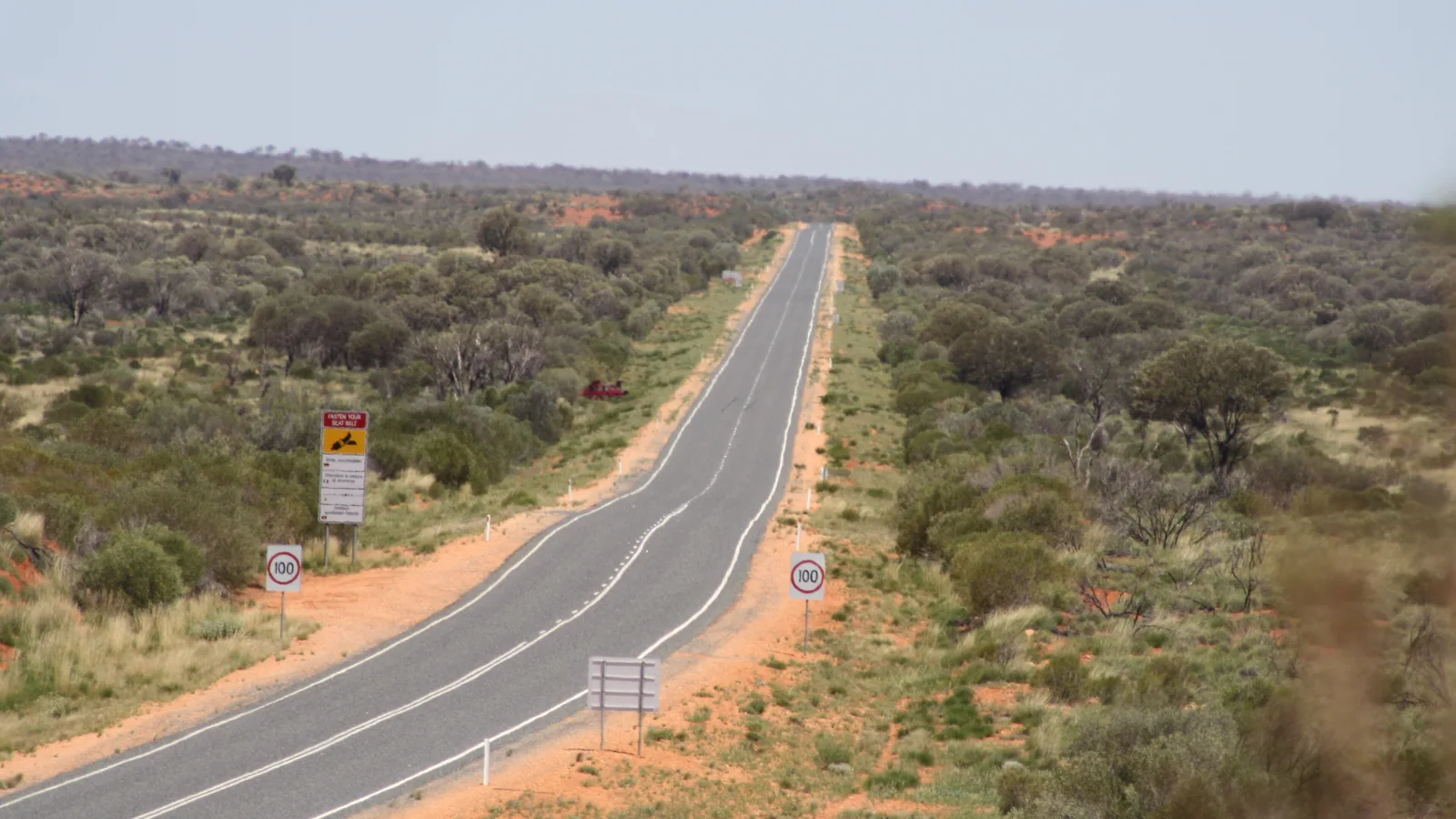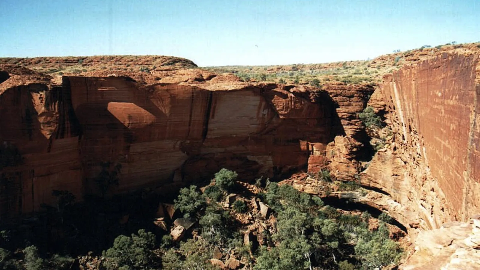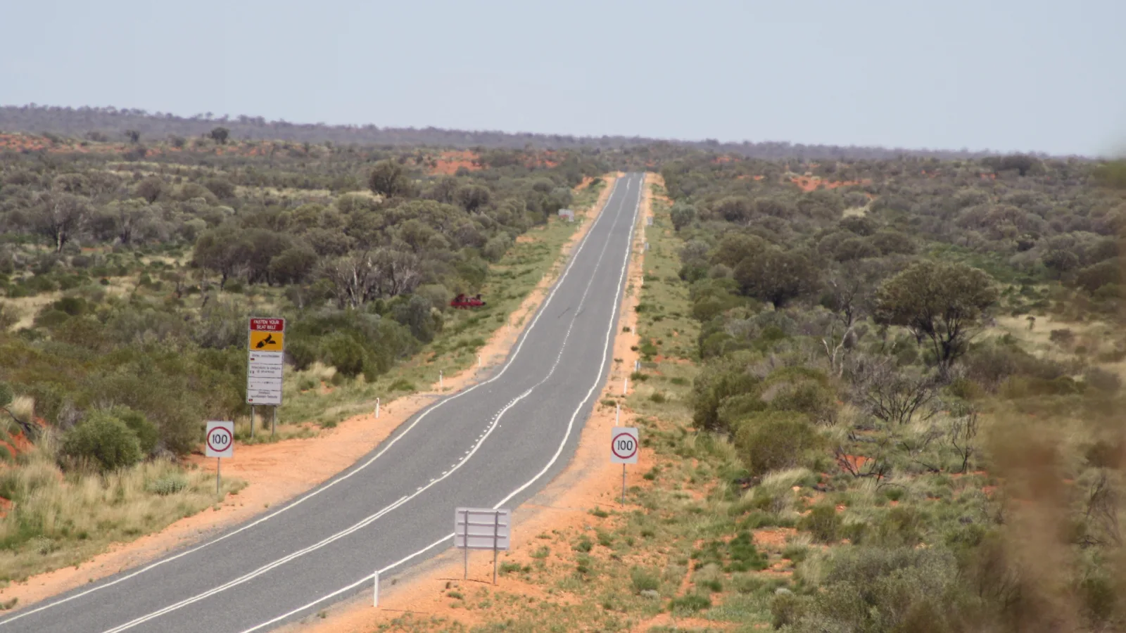
Alice Springs to Uluru is about 450 km by road, which is 452 km and 5 h 11 min by OSRM routing, down the Stuart Highway to Erldunda and then west along the Lasseter Highway. It is a one-day drive for most people, with the longest fuel gap at the start, and the Red Centre Way through Kings Canyon is the slower option that adds about 180 km.
Alice Springs to Uluru routes compared
The direct route is the Stuart Highway south for about 200 km to the Erldunda junction, then the Lasseter Highway west. Wikipedia describes the Lasseter Highway as 244 km and fully sealed, running from the Stuart Highway at Erldunda to the national park, with Curtin Springs and Mount Ebenezer along the way. The Red Centre Way is the loop through Watarrka National Park and Kings Canyon, and it has its own guide, so it appears here only as a comparison.
By OSRM the Kings Canyon route is 633 km and 7 h 15 min, using the Stuart Highway, Ernest Giles Road and Luritja Road. The surface of Ernest Giles Road could not be confirmed. The Mereenie Loop, which links Kings Canyon to the West MacDonnell side, is described by Discover Central Australia as the unsealed section of the Red Centre Way, and its permit is listed at $5.00, valid for three days, sold in person at outlets including the Alice Springs Visitor Information Centre.
| Route | Distance and time | Road | Best for |
|---|---|---|---|
| Stuart Highway to Erldunda, then Lasseter Highway via Curtin Springs | 452 km, 5 h 11 min | Sealed (Lasseter Highway: Wikipedia) | A one-day drive to Yulara |
| Kings Canyon route via Ernest Giles Road and Luritja Road | 633 km, 7 h 15 min | Ernest Giles Road surface not confirmed | A longer trip with Kings Canyon; see the Red Centre Way guide |
- Direct route is fully sealed
- Kings Canyon adds about 180 km
- Mereenie Loop is unsealed and needs a permit
The legs: Erldunda, Curtin Springs and Yulara
OSRM splits the direct drive into three legs: Alice Springs to Erldunda 203 km (2 h 09 min), Erldunda to Curtin Springs 164 km (2 h) and Curtin Springs to Yulara 85 km (1 h 02 min). Discover Central Australia, a regional tourism site, puts Erldunda 200 km from Alice Springs and 246 km from Yulara, and Curtin Springs 361 km from Alice Springs and 85 km from Yulara.
Erldunda sits at the junction of the two highways. The same tourism site says Erldunda Desert Oaks Resort stocks petrol and diesel, with the general store open 6:30am to 9pm and reception 8am to 6pm. Curtin Springs is a station on the highway with a roadhouse, and its own website lists fuel, rooms, meals and a free campground. Yulara has the closest fuel to the park.
- Alice Springs to Erldunda: 203 km
- Erldunda to Curtin Springs: 164 km
- Curtin Springs to Yulara: 85 km
Fuel and the longest gap
The fuel page on Discover Central Australia lists Erldunda, Curtin Springs (open 7am to 7pm) and Shell Yulara at 257 Yulara Drive (open 7am to 8pm daily), which it calls the closest fuel to the national park. It lists no stop between Alice Springs and Erldunda, so the first gap is about 200 km. Mount Ebenezer is on the highway too, but fuel and hours there could not be confirmed.
Tourism NT says to keep your tank full because fuel may not be available in remote areas, and that remote stations have limited hours and banking. The regional page adds that anyone towing a caravan, driving a motorhome or travelling outside business hours should plan ahead and carry enough for the next stop with a margin. Work out your range with the fuel planning guide before the first 200 km.
- About 200 km from Alice Springs to the first fuel
- Curtin Springs closes at 7pm
- Check hours before relying on a stop
Speed limits, road trains and wet-season closures
Tourism NT's roads page gives the open-road limit as 110 km/h unless signposted otherwise, and says the maximum on the Stuart, Barkly, Victoria and Arnhem Highways is 130 km/h. The Lasseter Highway is not in that list, so follow the signs. For current conditions the page points to Road Report NT at roadreport.nt.gov.au or on 1800 246 199.
The same page says road trains can have three trailers and be over 50 m long and 2.5 m wide, and to allow plenty of room before overtaking because they may sway. It says animals are most active at sunrise, sunset or at night, and never to swerve to avoid one. It also says some roads may be closed by flooding from November to April, and that heavy fines may apply for using a closed road. Stop for 15 minutes every two hours, the page says. The road trains guide covers overtaking.
- Road Report NT: 1800 246 199
- Never swerve for animals
- Floods can close roads from November
Where to stop and rest areas
The AussieCamps data lists five rest areas along the way: Mount Polhill, Finke River and Desert Oaks on the Stuart Highway, with toilets, drinking water, shelter, picnic tables and barbecues at each, and Boxwood Dam and Black Swamp on the Lasseter Highway, with drinking water, shelter, tables and barbecues but no toilets listed. Use them for breaks. The data lists no campground along this route, so overnight options below come from the operators.
Curtin Springs's campground page says unpowered sites are free, first come and not bookable, while powered sites cost $65 per site per night and should be booked ahead. It lists showers, a barbecue area and water tank filling for $10, says there is no camp kitchen, and describes the sites as red dirt with limited shade. The page also says camping in the road corridor in the Northern Territory is illegal. Erldunda has camp sites and a caravan parking area, according to Tourism Central Australia. Prices and availability there could not be confirmed. The Northern Territory rules guide covers the rest.
- Curtin Springs: free unpowered, $65 powered
- Rest areas are for a break
- No camping in the road corridor
Uluru-Kata Tjuta entry, hours and heat
Parks Australia charges adults (18 and over) $38 for a 3-day pass and $50 for an annual pass, and children and teenagers under 18 go free. A $109 annual vehicle pass is available only for vehicles registered in the Northern Territory, and not for tour or hire vehicles. Buy online at book.parksaustralia.gov.au or get one at the entry station. At the gate, you scan the QR code in the left-hand lane.
The park's visitor guide gives December, January and February hours as 5:00am to 9:00pm. It says the park closes overnight and no camping is permitted in the park, and that camping is available at the resort. The guide also says temperatures regularly reach 30 degrees and can exceed 40 degrees in summer, and strongly recommends not walking after 11:00am in summer. It advises carrying at least one litre of water per person per hour. Its maps carry no-drone signs, and the Mala walk with a ranger is free.
- Adults: $38 for 3 days
- No camping in the park
- In summer, avoid walking after 11am
Yulara camping, alcohol and dump points
Ayers Rock Campground is inside the Ayers Rock Resort complex at Yulara. Tourism NT's listing gives 198 powered sites and 220 unpowered sites, with rates starting from $30, and bookings through the resort by phone on 1300 134 044 or email. It lists a camp kitchen, barbecue, laundry, pool, playground and gas. Discover Central Australia says free camping is not permitted in or around the national park.
Ayers Rock Resort's bottle shop page says takeaway alcohol is restricted to resort guests. It opens from 12:00pm to 9:00pm and sets a daily limit per person, of up to six bottles of beer or ready-to-drink spirits, or one bottle of wine. Alice Springs takeaway rules could not be opened, so check nt.gov.au before you leave town.
For waste, the AussieCamps data includes the Ayers Rock Resort dump point (free, washout tap) and the Yulara Caravan dump point, and at the Alice Springs end Olive Pink Botanic Gardens, Alice Springs Dump Point and the Showground at Ilparpa. That list reflects the data only. Curtin Springs's page says black water may only be disposed of at Ayers Rock Resort or Alice Springs.
- 198 powered and 220 unpowered sites
- Takeaway alcohol: resort guests only
- Dump points at Yulara and Alice Springs
Plan the Alice Springs to Uluru drive in AussieCamps
Set the drive up as a trip in AussieCamps with Erldunda, Curtin Springs and Yulara as the stops. Each leg shows its distance and driving time, and the forecast for the day you arrive. The app carries 1,838 campgrounds, 5,552 rest areas and 1,393 dump points sourced from park agencies, road authorities and public datasets, and a place page shows the facilities those sources publish, plus a notes field for you.
Without a signal you can still open stored place details, saved places and the guides. Map tiles, routing, weather and photos need a connection, so load the trip before leaving Alice Springs. The app is for iPhone, and free to download, with in-app purchases.
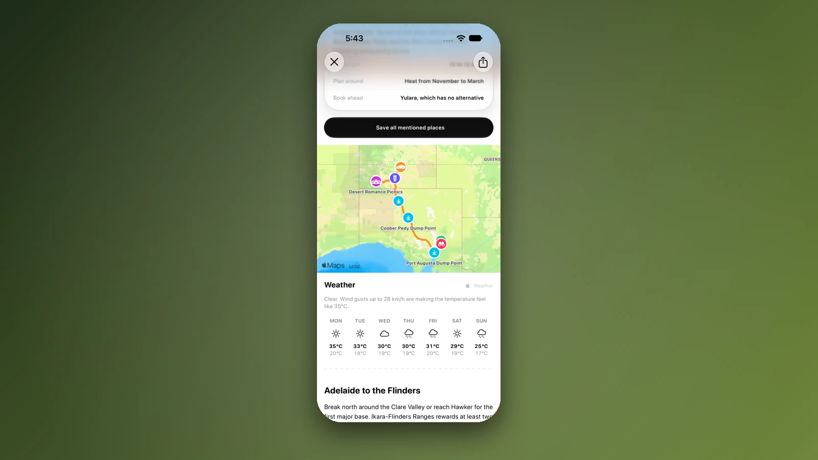
- Add each stop in order
- Check the forecast for Yulara
- Load the trip in Alice Springs
Places along the way
Check before you go
Rules and conditions change. Recheck the official source and the page for your exact park or campground before departure.
- OSRM routing on OpenStreetMap data (Alice Springs to Uluru, computed 21 October 2026)
- Wikipedia: Lasseter Highway
- Tourism NT: road safety information
- Road Report NT
- Parks Australia: Uluru-Kata Tjuta park passes
- Parks Australia: Uluru-Kata Tjuta visitor guide
- Tourism NT: Ayers Rock Campground
- Ayers Rock Resort: Outback Bottle Shop
- Discover Central Australia: fuel on the Lasseter Highway
- Discover Central Australia: Uluru camping
- Discover Central Australia: permits (Mereenie Loop)
- Curtin Springs: campground
Common questions
How long does it take to drive from Alice Springs to Uluru?+
Plan on five to six hours of wheel time. OSRM, a routing engine built on OpenStreetMap data, returned 452 km and 5 h 11 min on 21 October 2026, and that excludes fuel and meal stops. Leave early if you want to reach the park before dark.
Is the Red Centre Way via Kings Canyon a good alternative?+
It is a different trip rather than a shortcut. OSRM gave 633 km and 7 h 15 min through Kings Canyon Resort, and the Mereenie Loop part of the Red Centre Way is unsealed and needs a permit. The Stuart and Lasseter Highway drive stays on the sealed highway.
How much does it cost to enter Uluru-Kata Tjuta National Park?+
Adults pay $38 for a 3-day pass or $50 for an annual pass, and children and teenagers under 18 go free. A $109 annual pass exists for vehicles registered in the Northern Territory, though not for tour or hire vehicles. Parks Australia sells passes online, and you can also get one at the entry station.
Can I buy alcohol at Yulara to take back to my campsite?+
Only if you are a guest. Ayers Rock Resort says takeaway alcohol is restricted to resort guests, with a bottle shop that opens from 12 pm to 9 pm and a daily limit per person. Bring what you need from Alice Springs, and check the Northern Territory Government's rules there first.
Places to camp in Northern Territory


Take it on the road
Save the stops. Plan the whole trip.
Build an ordered route from saved places, calculate the distance and keep dates, notes and to-dos attached.