Perth to Exmouth is about 1,260 to 1,280 km, which is 1,256 km and 14 h 54 min by OSRM routing, all in Western Australia. The usual route is Brand Highway to Geraldton, then the North West Coastal Highway to Carnarvon and the Minilya to Exmouth Road, and it works as a three-day drive.
Perth to Exmouth routes compared
The main route follows the Brand Highway north from Perth to Geraldton, the North West Coastal Highway to the Minilya turn-off, then the Minilya to Exmouth Road. Wikipedia describes the North West Coastal Highway as a sealed two-lane single carriageway, mostly signed at 110 km/h, with 50, 60 or 70 km/h in built-up areas. A Kalbarri detour goes from Geraldton through Northampton to Kalbarri and rejoins the highway near the Overlander Roadhouse junction. An inland option runs up the Great Northern Highway through Bindoon and Dalwallinu to Geraldton, and Main Roads WA's rest area guide has a separate map for it.
All figures here are from OSRM routing on OpenStreetMap data, computed on 21 October 2026, for a car with no stops and no caravan. No road authority publishes a Perth to Exmouth total, so treat them as a guide. Main Roads WA gives Geraldton to Carnarvon as 475 km, and by OSRM the Kalbarri detour is 401 km from Geraldton to the Overlander junction, against 279 km direct, so about 120 km extra.
| Route | Distance | Drive time | Road | Best for |
|---|---|---|---|---|
| Brand Highway, North West Coastal Highway and Minilya to Exmouth Road | About 1,256 km | About 14 h 54 min | Sealed single carriageway | The standard three-day drive, caravans included |
| Same route with the Kalbarri detour | About 1,378 km | About 16 h 23 min | Sealed, with a turn off the highway at Northampton | A Kalbarri gorge stop on the way north |
| Great Northern Highway to Geraldton, then north as above | Perth to Geraldton about 548 km, 7 h 46 min | Not shown for the full trip | Sealed, through Bindoon and Dalwallinu | Skipping the coast between Perth and Geraldton |
- Main route: sealed, any vehicle
- Kalbarri detour: about 120 km extra
- Allow for caravan speeds
The drive in three days
A three-day split is Perth to Geraldton, about 417 km and 5 h 3 min, Geraldton to Carnarvon, 475 km by Main Roads WA, and Carnarvon to Exmouth, about 364 km and 4 h 14 min. The legs by OSRM are Perth to Jurien Bay 218 km (2 h 42 min), Jurien Bay to Geraldton 199 km (2 h 21 min), Geraldton to the Overlander junction 279 km (3 h 18 min), Overlander to Carnarvon 197 km (2 h 16 min), Carnarvon to Minilya 140 km (1 h 39 min), Minilya to Coral Bay 98 km (1 h 9 min) and Coral Bay to Exmouth 152 km (1 h 47 min).
A longer trip adds a night at Jurien Bay or Cervantes on the first day, and one at Coral Bay on the third. The Minilya to Exmouth Road leaves the highway about 7 km north of Minilya Roadhouse, according to Wikipedia. The Perth to Broome road trip guide covers the coast north of Carnarvon, so this guide stays with Exmouth.
- Geraldton: about 417 km
- Carnarvon: 475 km further
- Exmouth: about 364 km further
Where to stop and where to take a break
No caravan park at Geraldton, Carnarvon or Jurien Bay could be confirmed on an operator page for this guide, so none is named: use the local visitor centres and ring ahead. Australia's Coral Coast says Coral Bay Peoples Park and Ningaloo Coral Bay (Bayview) are open, and a camping blog says Coral Bay has just two caravan parks that book out, so check availability. At Exmouth the same page lists RAC Exmouth Cape Holiday Park as partially open and Exmouth Escape Resort, Ningaloo Lodge Exmouth, Sal Salis Ningaloo Reef and Camp Easy Ningaloo as open.
The AussieCamps data lists campgrounds on the Ningaloo coast, 7 to 10 km off the route at Warroora: Sandy Point (Nyinggulu), Stans Camp overflow camping, The Ridge and 14 Mile, with Bruboodjoo about 8 km off the route further north. DBCA says 14 Mile sites 12 to 28 are closed and the whole campground closes from 1 January 2027 for cyclone recovery works. Rest areas in the data for a break include Nilgen near Gingin, Galena North and South near Northampton, Nerren Nerren, and Edagee and Yalabia near Carnarvon. Main Roads WA says its 24-hour rest areas are not intended for camping, and stopping should not exceed 24 consecutive hours. The rest area guide and the Western Australia rules guide cover this.
- Ring ahead for Geraldton and Carnarvon parks
- Rest areas are for a break
- 14 Mile closes 1 January 2027
Fuel gaps
The longest stretch without a town is Geraldton to Carnarvon, 475 km by Main Roads WA. Wikipedia says the only settlements over that stretch, apart from Northampton, are four roadhouses: Binnu, Billabong, Overlander and Wooramel. Fuel availability and opening hours at each roadhouse could not be confirmed, so fill up at Geraldton and ask at Billabong and Overlander about the next stop.
North of Carnarvon, Minilya Roadhouse is the only roadhouse before the Exmouth turn-off, about 140 km from Carnarvon by OSRM. Fuel at Coral Bay could not be confirmed, and Exmouth is a further 152 km from there. Main Roads WA says to carry extra fuel on long distances and enough food and water for two to three days past your intended travel time, and it notes that stops can be limited. The fuel planning guide shows how to budget the distance, and UHF channel 40 is the road user channel on this route in Main Roads WA's 2015 rest area guide.
- Geraldton to Carnarvon: 475 km
- Minilya is the only roadhouse before the turn-off
- Carry food and water for 2 to 3 days extra
Road conditions, cyclones and recovery
Check the Main Roads WA Travel Map or ring 138 138 before each leg. Main Roads WA says the wet season in the north of WA generally runs from November to April, and the Bureau of Meteorology's tropical cyclone season runs from 1 November to 30 April. Severe Tropical Cyclone Narelle hit the Gascoyne coast on 27 March 2026. Main Roads WA announced on 8 April 2026 that it had lifted road restrictions into Exmouth, and Australia's Coral Coast says the North West Coastal Highway reopened from the south into Carnarvon on 31 March.
The Shire of Exmouth says the town is re-open to visitors, that accommodation options remain limited as recovery and rebuilding continues, and that visitors should confirm with their accommodation provider before arrival. It also says Horizon Power has scheduled outages across the town. A Shire emergency overflow camping facility opened on 29 April 2026 for self-contained campers, according to Australia's Coral Coast. The Shire's phone number is (08) 9949 3000. Main Roads WA warns that many major rural highways are unfenced and to watch for animals at dusk and dawn, and to overtake road trains only on a long straight stretch that is completely clear. The road trains guide covers etiquette.
- Main Roads WA Travel Map or 138 138
- Cyclone season 1 November to 30 April
- Confirm accommodation before you arrive
Fruit rules and the Carnarvon request
Perth to Exmouth is entirely in Western Australia, so there is no state border and no interstate checkpoint on this drive. The Shire of Carnarvon page says Medfly is present in all parts of Western Australia except the Ord River Irrigation Area. It asks visitors from elsewhere in the state not to bring fruit or vegetables: either eat it or dispose of your fruit before you arrive in Carnarvon, or better yet, buy as you go. It says to bag any fruit and use the yellow rubbish bins in the parking bays outside the town. The page mentions no road checkpoint and no formal restriction, so it is the Shire's request.
No current Perth fruit fly notice or formal Gascoyne movement order for travellers could be confirmed, so check DPIRD (dpird.wa.gov.au) before you leave. The interstate biosecurity guide covers the rules that apply when you cross a state border instead.
- Shire of Carnarvon asks: no fruit
- Use the yellow bins outside town
- Check DPIRD before leaving Perth
Cape Range, Ningaloo camping and dump points
Cape Range National Park entry is $17.00 per standard vehicle and $10.00 for a concession, according to Explore Parks WA, and a valid park pass covers the fees. The page says no dogs or other pets are allowed in the park. DBCA says to book Ningaloo Coast campsites at parkstay.dbca.wa.gov.au, with bookings opening at 10:00am AWST on the first Tuesday of the month. Its guide lists stays in June 2027 opening on 1 December 2026 and July 2027 opening on 5 January 2027. The maximum stay is up to 14 nights if any night is in a WA school holiday, and up to 28 nights otherwise.
ParkStay shows the Nyinggulara National Park campsites at Janes Bay, North Lefroy, Point Billie, South Lefroy and Winderabandi closed until further notice. The Yardie Creek crossing to Boat Harbour and One K needs a low tide, according to ParkStay listings, and a DBCA note from 21 April 2026 gave 1 August as the estimated reopening for Boat Harbour and One K, so check current status. For dump points, the AussieCamps data lists Cadiz Street in Cervantes and Hampton Gardens in Northampton, both free, and rest areas at Nilgen, Galena, Nerren Nerren, Edagee and Yalabia list one. Main Roads WA says blackwater may only be disposed of in rest areas displaying the dump point sign or at the nearest town's dump site. The dump points guide has more.
- Book Ningaloo sites on ParkStay
- Bookings open 10am AWST, first Tuesday
- No dogs in Cape Range
Plan the Perth to Exmouth drive in AussieCamps
Plan it as a trip in AussieCamps: add the nights in order and it shows the distance and drive time of each leg, with a forecast for the day you plan to arrive. AussieCamps lists 1,838 campgrounds, 5,552 rest areas and 1,393 dump points from park agencies, road authorities and public datasets, and the rest areas and dump points above show the facilities those sources publish.
Stored place details, saved places and guides work with no signal. Map tiles, routing, weather and photos need a connection, and the long stretches north of Geraldton have little coverage, so open the trip in range before each leg. AussieCamps runs on iPhone only, and it is free to download, with in-app purchases.
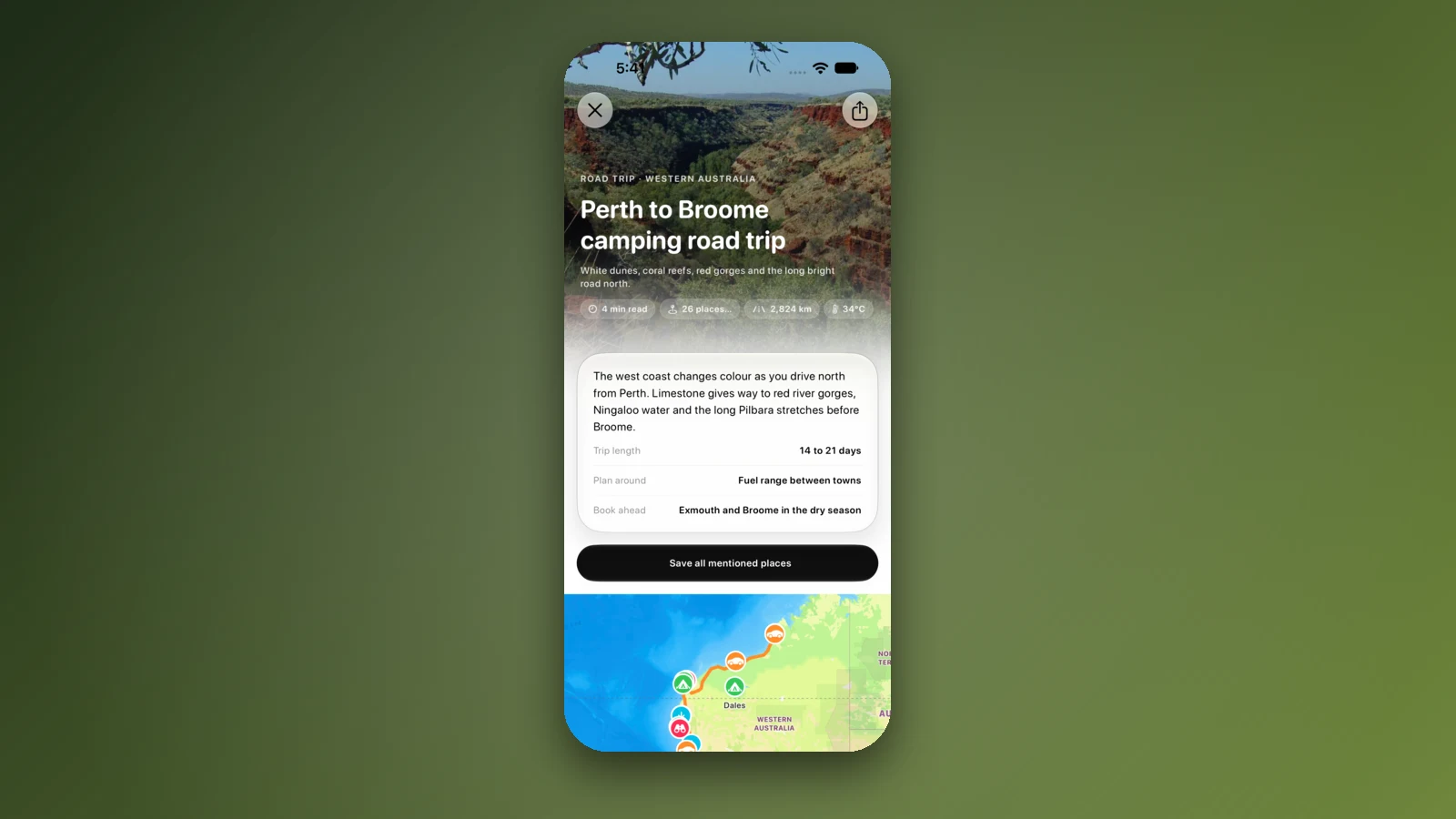
- Add each night in order
- Forecast for each arrival day
- Open the trip before the long legs
Places along the way
Check before you go
Rules and conditions change. Recheck the official source and the page for your exact park or campground before departure.
- OSRM routing on OpenStreetMap data (Perth to Exmouth, computed 21 October 2026)
- Main Roads WA: rest areas and amenities, Geraldton to Port Hedland (2015)
- Main Roads WA: regional and long distance driving
- Main Roads WA: Travel Map
- Australia's Coral Coast: Ningaloo travel updates
- Shire of Exmouth: visiting Exmouth after Cyclone Narelle
- Shire of Carnarvon: Mediterranean fruit fly
- DBCA: guide to booking a campsite in the Ningaloo Coast World Heritage Area
- Explore Parks WA: Cape Range National Park
- DPIRD: Western Australia biosecurity
- Wikipedia: North West Coastal Highway
Common questions
How far is it from Perth to Exmouth?+
About 1,260 to 1,280 km, which is 1,256 km and 14 h 54 min of driving by OSRM routing on OpenStreetMap data via Jurien Bay, Geraldton, Carnarvon and the Minilya to Exmouth Road. Most people take three days, with nights at Geraldton and Carnarvon.
Is there a long stretch without towns?+
Yes. Main Roads WA gives Geraldton to Carnarvon as 475 km, and Wikipedia says that apart from Northampton, 50 km out, the only settlements on the stretch are four roadhouses. Fill up in Geraldton and check each roadhouse is open.
Can I take fruit to Carnarvon?+
The Shire of Carnarvon asks you not to. Its page says to eat or dispose of your fruit before you arrive, or buy as you go, and to use the yellow bins in the parking bays outside the town. It describes this as a request, and it mentions no road checkpoint.
Are the Ningaloo campgrounds open after Cyclone Narelle?+
Some are not. DBCA says all Ningaloo Coast campgrounds were affected by Severe Tropical Cyclone Narelle in 2026, and ParkStay shows the Nyinggulara National Park campsites closed until further notice. Check ParkStay before you book.
Places to camp in Western Australia


Take it on the road
Save the stops. Plan the whole trip.
Build an ordered route from saved places, calculate the distance and keep dates, notes and to-dos attached.