Melbourne to Mildura is about 542 km and 6 h 46 min of driving on the Calder Freeway and Calder Highway through Bendigo, Charlton, Sea Lake and Ouyen, by OSRM routing. It is a long day or an easy two, and the things worth checking before you go are the 2024 change to fruit fly rules in Sunraysia, where you will fuel and rest between towns, and how heat affects a drive through the Mallee.
Melbourne to Mildura routes compared
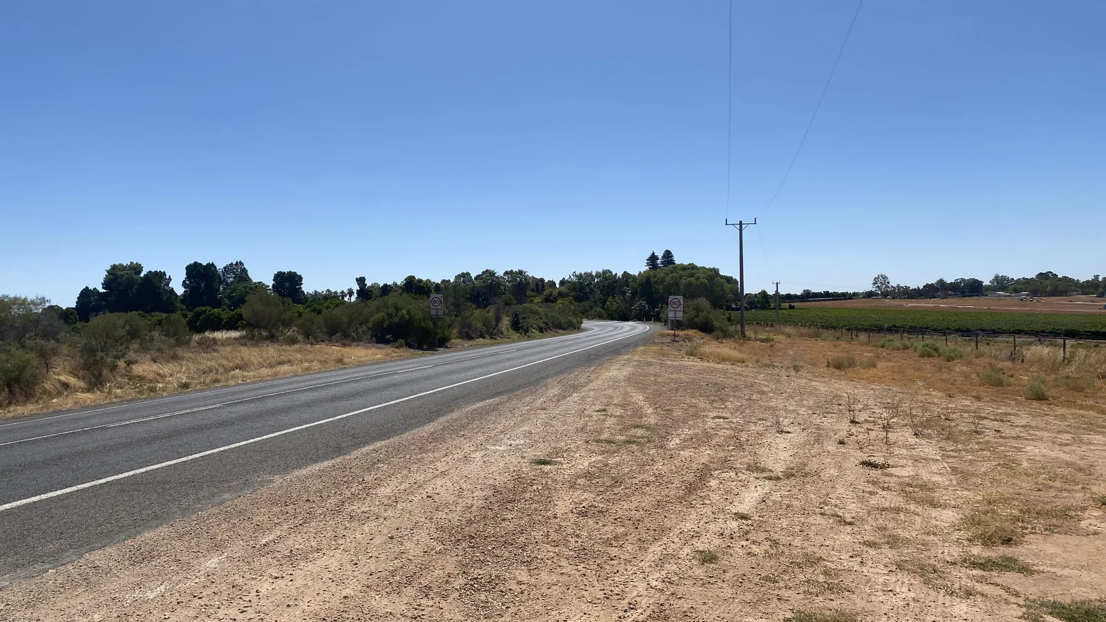
The standard route leaves Melbourne on the Calder Freeway (M79) and becomes the Calder Highway (A79) near Bendigo. Wikipedia describes the Melbourne to Bendigo section as four-lane dual carriageway, and says that elsewhere in the Mallee the highway is a two-lane single carriageway, with a four-lane dual carriageway through southern Mildura and Irymple. It gives the limit as 110 km/h between Red Cliffs and Wycheproof. Wikipedia lists the distances from the Mildura end as Ouyen 123.9 km, Sea Lake 209.1 km, Wycheproof 288.0 km, Charlton 318.3 km and Bendigo 423.6 km.
The alternative is the Western Freeway to Ballarat, then the Sunraysia Highway (B220) through St Arnaud and Donald to Ouyen, where it meets the Calder Highway for the last 101 km to Mildura. Wikipedia gives the Sunraysia Highway as 330.2 km from Ouyen to Ballarat and says Mildura is reached by the Calder Highway, the main Melbourne to Mildura road. Every distance and time below comes from OSRM, run on OpenStreetMap data on 21 October 2026 for a car without stops. The Murray Valley Highway and a Horsham route were not researched, so only these two are compared.
| Route | Distance | Drive time | Road | Best for |
|---|---|---|---|---|
| Calder Freeway and Calder Highway via Bendigo, Charlton, Sea Lake and Ouyen | About 542 km | About 6 h 46 min | Four lanes to Bendigo, then mostly two lanes | The standard drive, in one long day or two |
| Western Freeway to Ballarat, Sunraysia Highway via St Arnaud and Donald, then Calder Highway from Ouyen | About 557 km | About 7 h 24 min | Freeway to Ballarat, then two lanes | Stopping in Ballarat or the Wimmera and Mallee towns |
- Calder Highway: the quicker route
- Sunraysia Highway: about 38 minutes longer
- Mildura to Ouyen is single carriageway
Bendigo, Charlton, Sea Lake and Ouyen
By OSRM routing, the legs on the Calder route are Melbourne to Bendigo 151 km (1 h 57 min), Bendigo to Charlton 106 km (1 h 30 min), Charlton to Wycheproof 30 km (25 min), Wycheproof to Sea Lake 77 km (57 min), Sea Lake to Ouyen 89 km (1 h 03 min) and Ouyen to Mildura 101 km (1 h 16 min). Going through the middle of Bendigo adds about 13 km to the direct 542 km figure. If you split the drive, Bendigo is the natural place to stop at about 151 km, with 404 km and 5 h 14 min still to go to Mildura.
Lake Tyrrell is a short detour from Sea Lake. Wikipedia says it is 6 km north of the town, that its lookout is 7 to 8 km from the township, and that it is Victoria's largest salt lake at about 20,860 hectares. The page describes no camping at the lake. Wikipedia lists no facilities or fees for the lake, so check locally for access and rules. Mildura is the largest settlement in Sunraysia, with 35,652 people at the 2021 census, according to Wikipedia.
- Bendigo is the natural overnight at 151 km
- Lake Tyrrell is 6 km north of Sea Lake
- Ouyen to Mildura is 101 km
Fruit fly: what changed in Sunraysia
Agriculture Victoria says a Greater Sunraysia Pest Free Area was in place from 2006 to 2024, and that its regulation lapsed and ceased to exist in July 2024. The department says there are no longer restrictions around bringing Queensland fruit fly host produce into or out of the Sunraysia area, that the requirements for moving fruit to interstate Queensland fruit fly sensitive markets have not changed, and that signs and quarantine bins were being removed during 2025. Agriculture Victoria's own pages block automated requests, so these quotes come from search extracts of its page, and North West Farmer reported the same statement on 12 July 2024.
That is a change from older travel pages, including tourism pages that told drivers to put fruit in roadside bins before Mildura. The same department statement says restrictions on Mediterranean fruit fly host produce, which apply statewide, do not change, and the Lindsay Point Order for north-west Victoria remains in place to help South Australia keep its pest free area status in the Riverland. This guide could not confirm that every sign and bin has gone, so follow any that you meet. If you carry on into South Australia, Interstate Quarantine says a zero tolerance approach is in place and that quarantine stations and fruit disposal bins are placed throughout the state, so read the interstate biosecurity guide and the Melbourne to Adelaide guide before you cross.
- Greater Sunraysia area lapsed in July 2024
- Medfly rules still apply statewide
- South Australia is the border that matters now
Fuel, rest areas and dump points
No operator or government source was found that lists the fuel stations or the gaps between them on the Calder Highway, so this guide gives only the OSRM distances between the towns: Wycheproof to Sea Lake 77 km, Sea Lake to Ouyen 89 km and Ouyen to Mildura 101 km. Those are the longest stretches between towns, so top up in a town rather than running the tank low, and confirm that a station is open before you count on it. The fuel planning guide helps you budget range.
Within 15 km of this route the AussieCamps data holds no roadside rest area and no dump point, and that reflects what the data covers, not what exists. Its nearest dump points are Lowan Park at Manangatang (free, with toilets and showers, about 23 km off the route) and Godfrey Street (Nolans Park) at Boort (about 31 km off). Whether you may sleep at a rest area you find is a separate question, answered in the overnight rest area guide and the Victorian camping rules, and the dump points guide has more places to empty a cassette.
- Longest town gap is Ouyen to Mildura, 101 km
- No rest areas in the data on this road
- Dump points are off the route
Road conditions, tolls and heat
Open VicTraffic on the morning you leave. The Department of Transport and Planning says it shows real-time road conditions, traffic alerts, incidents and planned roadworks, including road closures and emergency events such as bushfires or flooding, and a search extract gives the VicRoads Traffic Management Centre on 13 11 70. VicEmergency does not issue separate road closure warnings, according to its support page, which leaves VicTraffic as the place to look for closures. No official closure, flood or roadworks notice for the Calder Highway was found on 21 October 2026, so none is described here.
Wikipedia gives Mildura a January mean daily maximum of 33.3 C and a record of 48.6 C, so carry plenty of water and start early in summer. The Calder Freeway meets the Tullamarine Freeway at Airport West, and whether your start in Melbourne uses a toll road depends on where you set off. Linkt says its Visitor's Pass covers CityLink and EastLink for up to 30 days, for $3.50 online or $5.00 by phone, and covers CityLink trips made up to 5 days ago and EastLink trips made up to 3 days ago. The fatigue and wildlife guide covers driving at dawn and dusk.
- VicTraffic and 13 11 70
- Plan around the heat
- Linkt Visitor's Pass covers CityLink
Camping on the way: Hattah-Kulkyne National Park
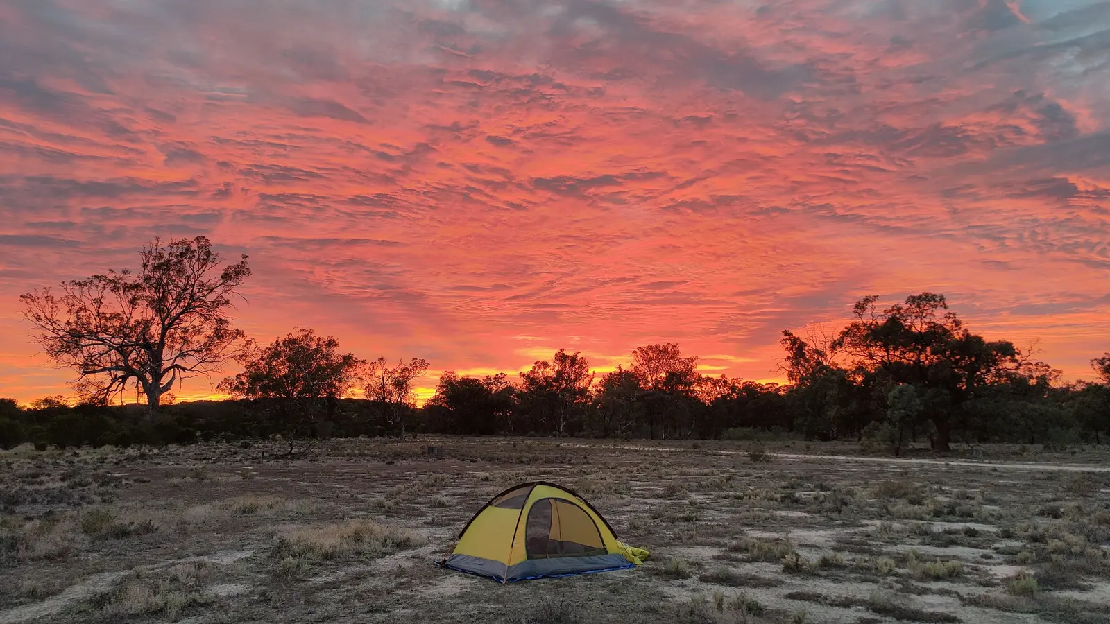
Hattah-Kulkyne National Park, near Hattah, is the one campground area the AussieCamps data lists within 15 km of this route: Lake Hattah and Lake Mournpall camping areas, each about 6 km off the highway. Parks Victoria says fees apply at both, that dogs are not allowed, and its Lake Hattah page also lists no horses, no generators and no firearms. Its pages send you to the Parks Victoria booking site and give 13 1963 for fees, and they did not list the rate or the facilities, so check them before you go. Wikipedia describes the park as about 48,000 hectares, with most lakes and streams drying out in the dry season.
Parks Victoria's park page lists works in the northern part of the park under the Victorian Murray Floodplain Restoration Project to December 2026, with increased heavy vehicle movement and temporary track closures, and track closures at Raak Track and Goosefoot Track because of fire impacts. Read the park notices on the day. For rules on free camping and rest areas, see the camping rules guide for Victoria. The Victorian high country guide covers the other end of the state.
- Fees apply: check the booking site
- Dogs are not allowed
- Read the Parks Victoria notices on the day
Plan the Melbourne to Mildura drive in AussieCamps
Build this drive as a trip in AussieCamps with a Bendigo stop, a fuel stop at Sea Lake or Ouyen and a Hattah-Kulkyne campground. Each leg shows its distance and drive time, plus a forecast for your arrival day, which counts in Mallee heat. The app holds 1,838 campgrounds, 5,552 rest areas and 1,393 dump points drawn from park agencies, road authorities and public datasets, Parks Victoria campgrounds among them, and each place page carries the photos, weather and facilities those sources publish.
With no signal you still have stored place details, saved places and guides, but map tiles, routing, weather and photos need a connection, so load the trip while you are still in Melbourne. It runs on iPhone only and costs nothing to download, with in-app purchases on offer. For the road west from here, read the Melbourne to Adelaide guide.
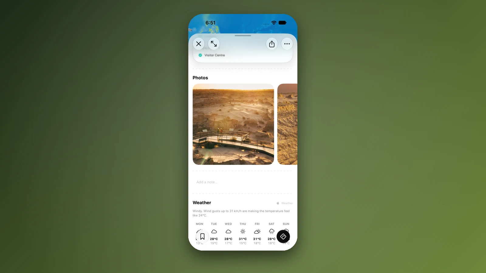
- Stops in driving order
- A forecast for each arrival day
- Load the trip in Melbourne
Places along the way
Check before you go
Rules and conditions change. Recheck the official source and the page for your exact park or campground before departure.
- OSRM routing on OpenStreetMap data (Melbourne to Mildura, computed 21 October 2026)
- Wikipedia: Calder Highway
- Wikipedia: Sunraysia Highway
- Wikipedia: Mildura
- Wikipedia: Lake Tyrrell
- Wikipedia: Hattah-Kulkyne National Park
- Agriculture Victoria: regulatory changes in the Greater Sunraysia region
- North West Farmer: Pest free area status to go (12 July 2024)
- Interstate Quarantine: quarantine zones
- Transport Victoria: VicTraffic
- Linkt: Visitor's Pass (Melbourne)
- Parks Victoria: Hattah-Kulkyne National Park
- Parks Victoria: Lake Hattah Camping Area
- Parks Victoria: Lake Mournpall Camping Area
Common questions
How many hours is Melbourne to Mildura by car?+
Allow roughly 6 h 46 min of wheel time for the 542 km up the Calder, before fuel and food stops. A night in Bendigo splits it into a short first day and a 5 h 14 min second one.
Do I have to give up fruit when I arrive in Mildura or Sunraysia?+
The old bin-and-sign system ended with the pest free area itself. Agriculture Victoria's current page says Queensland fruit fly host produce can now move in and out of Sunraysia without those restrictions, while its statewide Medfly rules are unchanged. Older travel pages still mention roadside bins, so go by the department's page rather than by them.
Is the Sunraysia Highway via Ballarat a quicker way to Mildura?+
No, it adds about 15 km and 38 minutes. The OSRM figure for the Ballarat, St Arnaud, Donald and Ouyen line is 557 km and 7 h 24 min, which makes it a scenic choice rather than a shortcut.
Where can I camp between Melbourne and Mildura?+
The AussieCamps data has Lake Hattah and Lake Mournpall camping areas in Hattah-Kulkyne National Park, between Ouyen and Mildura, with fees and no dogs per Parks Victoria. Nothing else sits within 15 km of the highway in the data, so look up caravan parks in the larger towns before you set off.
Places to camp in Victoria




Take it on the road
Save the stops. Plan the whole trip.
Build an ordered route from saved places, calculate the distance and keep dates, notes and to-dos attached.