Darwin to Alice Springs is about 1,500 km, or 1,492 km and 15 h 12 min of driving by OSRM routing, and it is one road: the Stuart Highway through Katherine, Daly Waters, Tennant Creek and Karlu Karlu. Plan four days, check Road Report NT before each leg, and read the fruit rules, because produce restrictions apply on this drive.
One road: the Stuart Highway
There is only one realistic sealed route between Darwin and Alice Springs, the Stuart Highway, which Tourism NT calls the Explorers Way. It runs through Adelaide River, Pine Creek, Katherine, Mataranka, Daly Waters, Elliott, Tennant Creek, Karlu Karlu (Devils Marbles), Barrow Creek and Ti Tree. Wikipedia gives 1,499 km from Darwin to Alice Springs, and OSRM routing on OpenStreetMap data, checked on 3 November 2026 for a car with no stops, gives 1,492 km, so about 1,500 km is the safe figure.
The detours are Kakadu, Nitmiluk (Katherine Gorge) at Katherine and Litchfield, which the Darwin, Kakadu and Litchfield loop covers. After Alice Springs, the Red Centre Way and the Adelaide to Uluru road trip cover what comes next.
| Leg | Distance | Drive time |
|---|---|---|
| Darwin to Adelaide River | About 112 km | About 1 h 21 min |
| Adelaide River to Katherine | About 203 km | About 2 h 5 min |
| Katherine to Mataranka | About 106 km | About 1 h 7 min |
| Mataranka to Daly Waters | About 168 km | About 1 h 42 min |
| Daly Waters to Elliott | About 152 km | About 1 h 31 min |
| Elliott to Tennant Creek | About 254 km | About 2 h 32 min |
| Tennant Creek to Karlu Karlu | About 104 km | About 1 h 3 min |
| Karlu Karlu to Barrow Creek | About 120 km | About 1 h 10 min |
| Barrow Creek to Alice Springs | About 282 km | About 2 h 51 min |
- About 1,500 km, one road
- Detours: Kakadu, Nitmiluk, Litchfield
- Next: Red Centre
Four days on the Stuart Highway
By OSRM, a four-day split is Darwin to Katherine about 315 km (3 h 26 min), Katherine to Daly Waters about 273 km (2 h 48 min), Daly Waters to Tennant Creek about 405 km (4 h 4 min) and Tennant Creek to Alice Springs about 506 km (5 h 3 min, via Karlu Karlu). Tourism NT's itineraries give Katherine to Darwin as 316 km, Mataranka to Katherine 106 km, Daly Waters to Mataranka 167 km and Alice Springs to Tennant Creek 510 km, which agree with OSRM within a few kilometres.
Katherine is the base for Nitmiluk. At Mataranka, NT Parks says the thermal pool in Elsey National Park holds a steady 34 degrees all year and that an NT Parks Visitor Pass is needed, bought before arriving, with NT residents exempt. At Daly Waters, Tourism NT describes the Daly Waters Historic Pub as a place to eat, drink and stay, with camping, powered sites, safari tents and cabins. Named caravan parks at Katherine, Mataranka and Tennant Creek could not be confirmed, so book ahead by phone.
- Katherine about 316 km
- Daly Waters about 588 km
- Tennant Creek about 993 km
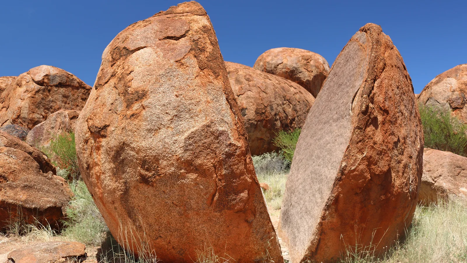
Karlu Karlu (Devils Marbles)
Tourism NT says entry to Karlu Karlu, about 96 km south of Tennant Creek, requires an NT Parks Visitor Pass, which is a separate pass from the Kakadu and Uluru-Kata Tjuta passes. It says you must book online and pay a fee to camp, and that you will not be able to pay at the site. Tourism NT describes a bush camping area with fireplaces. Fees were not confirmed, so check the booking site before you go.
Wauchope, about 9 km south of Karlu Karlu, has fuel and limited supplies, according to an NT Government fact sheet. Wycliffe Well is 130 km south of Tennant Creek and 380 km north of Alice Springs.
- NT Parks Visitor Pass required
- Camping: book online first
- Wauchope: fuel and limited supplies
Rest areas on the Stuart Highway
The AussieCamps data lists rest areas along the road that you can use for a break: Bridge Creek, King River and Warloch Ponds with toilets, drinking water, shelter, picnic tables and barbecues, Newcastle Waters and Attack Creek with the same, Taylor Creek and Prowse Gap with toilets, and Dingo Hill, Bonney Well, Central Mount Stuart and Connors Well with no toilets listed.
Northern Territory policy says road users may not stay at any one rest area longer than 24 hours, and the Territory lists which stops allow 24-hour overnight camping and marks some as camping not permitted. The list could not be opened for this guide, so read the sign at the stop and check the NT list. The rest area guide has the rules.
- Read the sign at each stop
- 24 hours at most at one rest area
- Bridge Creek km 147, King River km 365
Fuel and services
Tourism NT says that when travelling to remote parts of the Territory you should use a vehicle with a long range fuel tank and take extra fuel, and that remote service stations have restricted opening hours. Wikipedia says fuel and other facilities are usually available about every 200 km on the Stuart Highway. No official roadhouse-to-roadhouse table was available, so no longest gap is named here: fill up at every roadhouse you pass and ask at the last one about the next.
The Barkly Highway junction at Threeways Roadhouse is about 25 km north of Tennant Creek. The fuel planning guide shows how to budget the distance.
- Fill up at every roadhouse
- Hours are restricted at remote stations
- Threeways is 25 km north of Tennant Creek
Road conditions, speed limits and road trains
Road Report NT (roadreport.nt.gov.au or 1800 246 199) is the live source. Tourism NT says some roads may be closed by flooding from November to April, that you must not drive on closed roads and that heavy fines may apply. An NT Government flood study found the Stuart Highway closed 100 times between October 2005 and March 2024, for about 35 hours on average. The wet season guide covers cyclones, crocodiles and storms.
NT regulations say the limit outside built-up areas is 110 km/h, but 130 km/h applies where speed-limit signs show it, and NT Government says some sections of the Barkly, Stuart, Victoria and Arnhem Highways have a maximum of 130 km/h as indicated. Speed cameras are used across the Territory. Many roads are unfenced, and Tourism NT says animals appear especially at dawn, dusk and night and not to swerve to avoid them.
NT Government says road trains can be over 50 m long with up to three trailers, overtaking can take up to 2.5 km at 100 km/h and you need at least 1 km of clear road ahead. The road trains guide covers the rest.
- Road Report NT: 1800 246 199
- The sign sets the limit, 110 or 130 km/h
- Do not swerve for animals
Fruit and vegetable rules
Quarantine applies on this drive. The Interstate Quarantine site, quoting the Northern Territory, says the following produce must not be carried south along the Stuart Highway beyond the Adelaide River township: beans, capsicum, chilli, cucumber, eggplant, melons, mango fruit and mango plants (unless treated against leaf hopper), okra, pumpkin, silverbeet, squash, tomato and zucchini. It aims to stop the spread of melon thrips.
The same site says the Ti Tree Fruit Fly Exclusion Zone extends from Tennant Creek to Alice Springs, and not to take fruit, including capsicum, chilli, tomato, eggplant, cucumber, zucchini and squash, into the zone. Northern Territory Government says that if you are travelling to Ti Tree, north of Alice Springs, you must dispose of any fruit you have brought from interstate, and quarantine bins are at Alice Springs Airport and railway station. No highway checkpoint was found in the sources checked. The interstate biosecurity guide covers the wider rules.
- Do not carry listed produce south past Adelaide River
- No fruit in the Tennant Creek to Alice Springs zone
- Eat it or bin it
Dump points, clocks and crocodiles
The AussieCamps data lists dump points at Darwin Greyhound Club in Winnellie, Coomalie Creek RV Park, Adelaide River, Pine Creek, two in Katherine, King River and Mataranka, and in Alice Springs at the Alice Springs Dump Point, Olive Pink Botanic Gardens and the Showground. It lists none between Mataranka and Alice Springs, which is the data's coverage and not a statement that none exist, so check the dump points guide.
The Northern Territory does not use daylight saving, according to the Australian Government, so there is no clock change on this drive. NT Government's Be Crocwise advice is to swim only where a swimming area sign is displayed, camp at least 50 m from the water's edge, and its table lists Mataranka thermal pool and Bitter Springs as open all year except during extreme flooding.
- Dump points to Mataranka, then none listed
- No daylight saving in the NT
- Camp 50 m from the water's edge
Plan the Darwin to Alice Springs drive in AussieCamps
Plan the four days as a trip in AussieCamps: add each night in order and it shows the distance and drive time between them, and a forecast for the day you plan to arrive. AussieCamps lists 1,838 campgrounds, 5,552 rest areas and 1,393 dump points from park agencies, road authorities and public datasets, and the Stuart Highway rest areas above show their toilets, drinking water and shelter.
Stored place details, saved places and guides work with no signal. Map tiles, routing, weather and photos need a connection, and there is little coverage between the towns, so open the trip while you are in range. AussieCamps runs on iPhone only, and it is free to download, with in-app purchases.
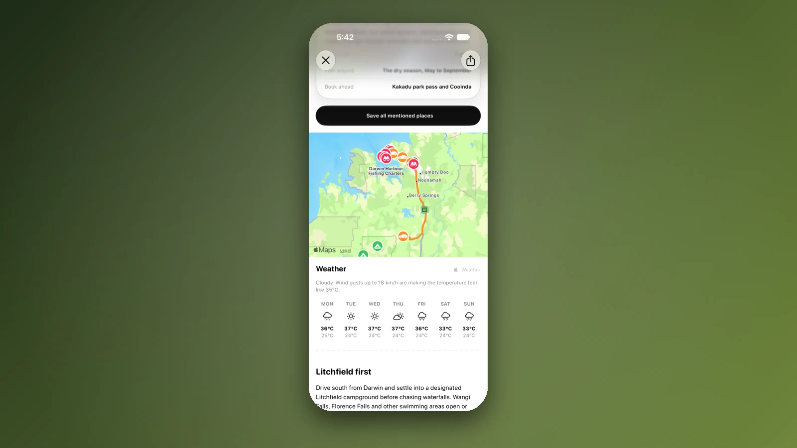
- Add each night in order
- Forecast for each arrival day
- Open the trip in coverage
Places along the way
Check before you go
Rules and conditions change. Recheck the official source and the page for your exact park or campground before departure.
- OSRM routing on OpenStreetMap data (Darwin to Alice Springs, checked 3 November 2026)
- Tourism NT: road safety information
- Tourism NT: Explorers Way
- Tourism NT: the Explorers Way in 14 days
- Tourism NT: Karlu Karlu (Devils Marbles) Conservation Reserve
- Road Report NT
- Interstate Quarantine: quarantine zones
- Northern Territory Government: plants and quarantine
- Northern Territory Government: road rest stops in the NT
- Northern Territory Government: Be Crocwise
- Australian Government: time zones and daylight saving
- Wikipedia: Stuart Highway
Common questions
How far is it from Darwin to Alice Springs?+
About 1,500 km, which is 1,492 km and 15 h 12 min of driving by OSRM routing on OpenStreetMap data, all on the Stuart Highway. Most people take four days, with nights at Katherine, Daly Waters and Tennant Creek.
What is the speed limit on the Stuart Highway?+
Tourism NT says the open-road limit is 110 km/h unless signed otherwise, and that certain highways allow up to 130 km/h. NT regulations say 130 km/h applies where speed-limit signs show it, so the sign decides.
Can I take fruit and vegetables from Darwin to Alice Springs?+
Not all of them. The Interstate Quarantine site lists produce including beans, capsicum, chilli, cucumber, eggplant, melons, mango, pumpkin, tomato and zucchini that must not be carried south along the Stuart Highway beyond Adelaide River, and says not to take fruit into the Ti Tree Fruit Fly Exclusion Zone, which runs from Tennant Creek to Alice Springs.
Does the Stuart Highway flood in the wet season?+
Yes. Tourism NT says some roads may be closed by flooding from November to April, and an NT Government study found the Stuart Highway closed 100 times between October 2005 and March 2024, for about 35 hours on average. Check Road Report NT or 1800 246 199 each day.
Places to camp in Northern Territory


Take it on the road
Save the stops. Plan the whole trip.
Build an ordered route from saved places, calculate the distance and keep dates, notes and to-dos attached.