Broome to Darwin is about 1,880 km, which is 1,874 km and 20 h 54 min by OSRM routing, and it is sealed all the way on the Great Northern, Victoria and Stuart Highways. A five-day drive puts nights at Fitzroy Crossing, Halls Creek, Kununurra and Katherine, and the leg to Darwin is the last 314 km.
Broome to Darwin routes compared
There is one sealed through route. The Great Northern Highway runs from Broome through Fitzroy Crossing and Halls Creek to the junction with the Victoria Highway, which crosses the WA/NT border and runs to Katherine. The Stuart Highway then goes north to Darwin. Visit Kununurra says Kununurra is 46 km along the Victoria Highway from that junction, so the town is a detour off the line, and the OSRM figure below is routed through it.
The Gibb River Road from Derby to Kununurra is an unsealed 4WD alternative that Main Roads WA lists on its own rest area map. It is not a shortcut for caravans, and no distance is taken here. The Gibb River Road guide covers it. Sandfire Roadhouse is on the Perth to Broome side, so it is not a stop on this drive. All figures are from OSRM routing on OpenStreetMap data, computed on 21 October 2026, for a car with no stops. No road authority publishes a Broome to Darwin total.
| Route | Distance | Drive time | Road | Best for |
|---|---|---|---|---|
| Great Northern, Victoria and Stuart Highways via Kununurra | About 1,874 km | About 20 h 54 min | Sealed throughout | Any vehicle, caravans, a first Kimberley crossing |
| Gibb River Road between Derby and Kununurra | Not taken | Not shown | Unsealed, 4WD advised | A dry-season Kimberley trip, covered in its own guide |
- Sealed all the way on the main route
- Gibb River Road: unsealed, 4WD
- Kununurra is a 46 km detour
The drive in five days
By OSRM routing, the legs are Broome to Fitzroy Crossing 398 km (4 h 38 min), Fitzroy Crossing to Halls Creek 290 km (3 h 25 min), Halls Creek to Kununurra 358 km (4 h 12 min), Kununurra to Timber Creek 228 km (2 h 22 min), Timber Creek to Katherine 285 km (2 h 50 min) and Katherine to Darwin 314 km (3 h 25 min). Main Roads WA's 2015 rest area guide gives Fitzroy Crossing to Halls Creek as 289 km and Halls Creek to Kununurra as 359 km, which matches OSRM within a kilometre.
A five-day split is Broome to Fitzroy Crossing, Fitzroy Crossing to Halls Creek, Halls Creek to Kununurra, Kununurra to Katherine through Timber Creek (about 513 km, 5 h 12 min), then Katherine to Darwin. The middle two legs can be combined into one long day of 648 km, about 7 h 37 min. The Darwin to Alice Springs guide covers the Stuart Highway south of Katherine, and the Darwin, Kakadu and Litchfield guide covers the area around the end of the drive.
- Fitzroy Crossing: 398 km
- Kununurra: 1,046 km from Broome
- Darwin: about 1,874 km
Where to stop and where to take a break
At Kununurra, Hidden Valley Kununurra Caravan Park sits next to Mirima National Park, according to its operator, Summerstar Tourist Parks. At Timber Creek, tourism listings name Timber Creek Hotel and Caravan Park and WIRIB Tourism Park. No named park in Fitzroy Crossing, Halls Creek or Katherine could be confirmed on an operator page for this guide, so ring ahead and use the visitor centres. Doon Doon Roadhouse and Warmun (Turkey Creek) are roadhouses with camping between Halls Creek and Kununurra, according to search extracts of tourism listings. Warmun is about 160 km from Halls Creek.
The AussieCamps data lists three Gregory National Park campgrounds in the Northern Territory, each with a camping fee: Big Horse Creek, about 0.3 km off the route, Sullivan Creek, about 0.1 km off, and Gumil, about 5 km off. These are national park campgrounds, not caravan parks. Rest areas in the data for a break are Cockburn in Western Australia, and Saddle Creek, Mathison Creek and Bridge Creek in the Northern Territory. Main Roads WA says its 24-hour rest areas are not intended for camping. The Northern Territory says no more than 24 hours at any one rest area. The rest area guide has the rules by state.
- Parks: ring ahead at Fitzroy, Halls Creek, Katherine
- Gregory campgrounds have a camping fee
- Rest areas are for a break
Fuel gaps
Australia's North West says fuel outlets are at Broome, Roebuck Roadhouse, Willare Bridge, Fitzroy Crossing, Halls Creek, Warmun, Wyndham and Kununurra, and that the greatest distance between fuel outlets on the Great Northern Highway is 295 km between Fitzroy Crossing and Halls Creek. Main Roads WA gives that stretch as 289 km. Halls Creek to Kununurra is 359 km, with Warmun in between. Whether Doon Doon sells fuel today could not be confirmed.
East of Kununurra, it is 228 km to Timber Creek and a further 91 km to Victoria River Roadhouse, by OSRM, and Katherine is 195 km beyond that. A tourism listing calls Victoria River Roadhouse the main fuel, food and drink stop, but fuel at Timber Creek and Victoria River Roadhouse could not be confirmed on an operator page, so fill up at Kununurra and ask again at both. Main Roads WA says to carry extra fuel on long distances and enough food and water for two to three days past your intended travel time. The fuel planning guide shows how to budget the distance.
- Fitzroy to Halls Creek: 289 to 295 km
- Fill up at Kununurra
- Carry food and water for 2 to 3 days extra
Wet season, road conditions and speed limits
Check the Main Roads WA Travel Map (travelmap.mainroads.wa.gov.au, 138 138) and Road Report NT (roadreport.nt.gov.au) before each day, as Visit Kununurra recommends. Main Roads WA says the wet season in the north of WA generally runs from November to April. Wikipedia says the Victoria River crossing near Timber Creek is flood-prone from November to April, that floodwater can cut the link for days or weeks, and that a replacement bridge completed in May 2008 is 7 m higher but floods of roughly one-in-twenty-year size will still overtop it. Main Roads WA flood updates describe the new Fitzroy River Bridge opening in late 2023, after the original was badly damaged in early 2023. No current closure was confirmed for 21 October 2026. The wet season guide covers cyclones and crocodiles.
In the Northern Territory the default speed limit is 110 km/h unless a sign says otherwise, and some signposted sections of the Stuart and Victoria Highways allow 130 km/h, so the sign decides. Main Roads WA says to overtake road trains only on a long straight stretch that is completely clear, and not to cut in front of them. Many major rural highways in WA are unfenced, so watch for animals at dusk and dawn. The road trains guide covers etiquette.
- Travel Map and Road Report NT
- Wet season November to April
- Victoria River crossing can flood
Border rules and the clock change
Visit Kununurra says there is no border checkpoint when leaving Western Australia to enter the Northern Territory, so a driver from Broome is not stopped. The DPIRD checkpoint page lists the WA/NT Road Checkpoint on the Victoria Highway at Lake Argyle, operating 24 hours, every day of the year, on 08 9168 7354, and that checkpoint checks traffic entering WA. DPIRD says generally no fresh fruit and vegetables are allowed into Western Australia except the items it lists, so read its page on the drive back. The Shire of Carnarvon says Medfly is present in all parts of WA except the Ord River Irrigation Area near Kununurra, so check DPIRD before carrying fruit and vegetables into Kununurra. No Northern Territory rule for travellers entering from WA was researched for this guide, so check the interstate biosecurity guide.
The Northern Territory is on central time and Western Australia on western time. Neither uses daylight saving, so the Northern Territory is 1.5 hours ahead of Western Australia all year.
- No checkpoint leaving WA
- Checkpoint entering WA: 08 9168 7354
- NT is 1.5 hours ahead of WA
Parks, Lake Argyle and dump points
Nitmiluk (Katherine Gorge) is about 30 km from Katherine, and entry needs an NT Parks Pass, with Northern Territory residents exempt. Camping there is booked and paid in advance. Lake Argyle Resort and Caravan Park is at the end of a sealed road, about 35 km off the highway, and tourism sources put the turn-off about 35 km east of Kununurra. Purnululu (the Bungle Bungles) is reached by the 53 km Spring Creek Track off the Great Northern Highway, which is 4WD high clearance only and a dry season trip, so check DBCA for the opening dates. The Gibb River Road guide covers the Kimberley 4WD routes.
For dump points, the AussieCamps data lists Cockburn rest area in Western Australia, and in the Northern Territory Victoria River Roadhouse, Mathison Rest Area at Delamere, which lists a washout tap, Limestone Creek near Manbulloo, two in Katherine, Pine Creek, Adelaide River and Coomalie Creek RV Park, then Batchelor and Darwin Greyhound Club at Winnellie. That is the data's coverage, not every dump point. The dump points guide has more.
- Nitmiluk: NT Parks Pass
- Purnululu: 4WD, check dates
- Dump points are the data's coverage
Plan the Broome to Darwin drive in AussieCamps
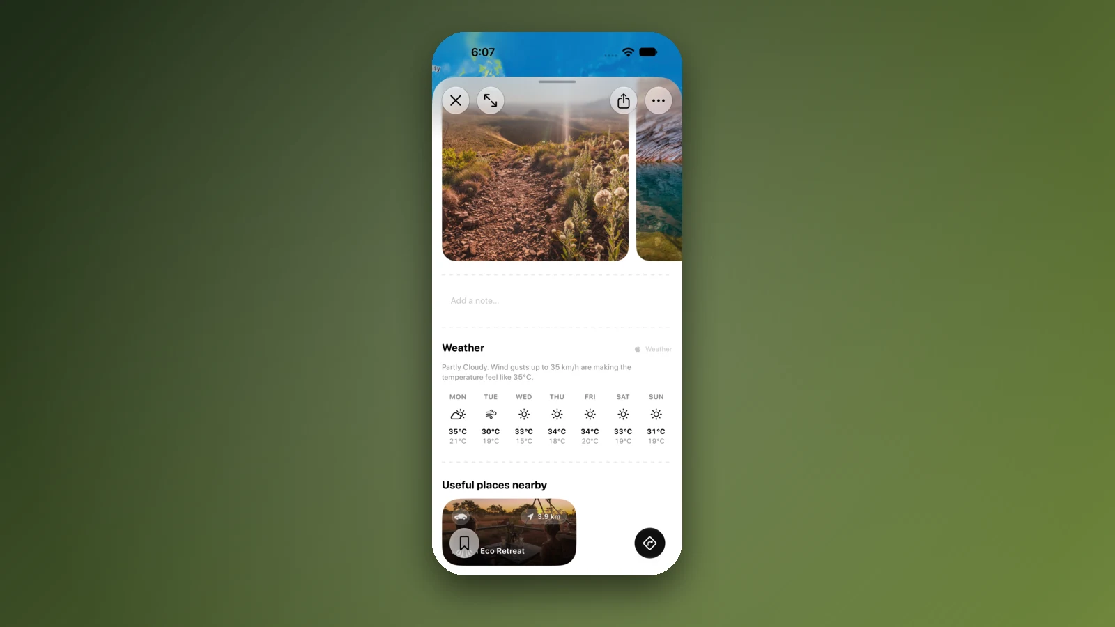
Plan it as a trip in AussieCamps: add the nights in order and it shows the distance and drive time of each leg, with a forecast for the day you plan to arrive. AussieCamps lists 1,838 campgrounds, 5,552 rest areas and 1,393 dump points from park agencies, road authorities and public datasets, and the rest areas and dump points above show the facilities those sources publish.
Each place page has a weather forecast and the places nearby. Stored place details, saved places and guides work with no signal. Map tiles, routing, weather and photos need a connection, and the Kimberley has long stretches without coverage, so open the trip in range before each leg. AussieCamps runs on iPhone only, and it is free to download, with in-app purchases.
- Add each night in order
- Forecast for each arrival day
- Open the trip before the long legs
Places along the way
Check before you go
Rules and conditions change. Recheck the official source and the page for your exact park or campground before departure.
- OSRM routing on OpenStreetMap data (Broome to Darwin, computed 21 October 2026)
- Main Roads WA: rest areas and amenities, Port Hedland to Kununurra (2015)
- Main Roads WA: regional and long distance driving
- Main Roads WA: Travel Map
- Road Report NT
- DPIRD: WA border checkpoints
- DPIRD: what can I bring into WA
- Visit Kununurra: biosecurity
- Visit Kununurra: getting here
- Australia's North West: fuel stops
- Shire of Carnarvon: Mediterranean fruit fly
- Australian Government: time zones and daylight saving
- Wikipedia: Victoria Highway
Common questions
How far is it from Broome to Darwin?+
About 1,880 km, which is 1,874 km and 20 h 54 min of driving by OSRM routing on OpenStreetMap data through Fitzroy Crossing, Halls Creek, Kununurra, Timber Creek and Katherine. Most people take five days.
What is the longest gap between fuel stops?+
Australia's North West says the greatest distance between fuel outlets on the Great Northern Highway is 295 km between Fitzroy Crossing and Halls Creek. Main Roads WA gives that stretch as 289 km. Ask at Timber Creek and Victoria River Roadhouse about the next fuel as well.
Is there a quarantine checkpoint on the way to Darwin?+
Not leaving Western Australia. Visit Kununurra says there is no border checkpoint when leaving WA to enter the Northern Territory. The 24-hour WA/NT road checkpoint on the Victoria Highway checks traffic entering WA, so it matters on the drive back.
Can I drive Broome to Darwin in the wet season?+
Roads can close. Main Roads WA says the wet season in the north of WA generally runs from November to April, and Wikipedia says the Victoria River crossing near Timber Creek can be cut for days or weeks by floods. Check the Travel Map and Road Report NT.
Take it on the road
Save the stops. Plan the whole trip.
Build an ordered route from saved places, calculate the distance and keep dates, notes and to-dos attached.