Adelaide to Melbourne is about 730 km and 9 h 10 min to 9 h 45 min of driving on the inland route, by OSRM routing: the Dukes Highway to the border, then the Western Highway through Horsham and Ballarat. Most drivers split it with a night at Horsham or Nhill, and the coastal alternative through Mount Gambier is about 874 km and 11 h 20 min of driving before any detour.
Adelaide to Melbourne routes compared
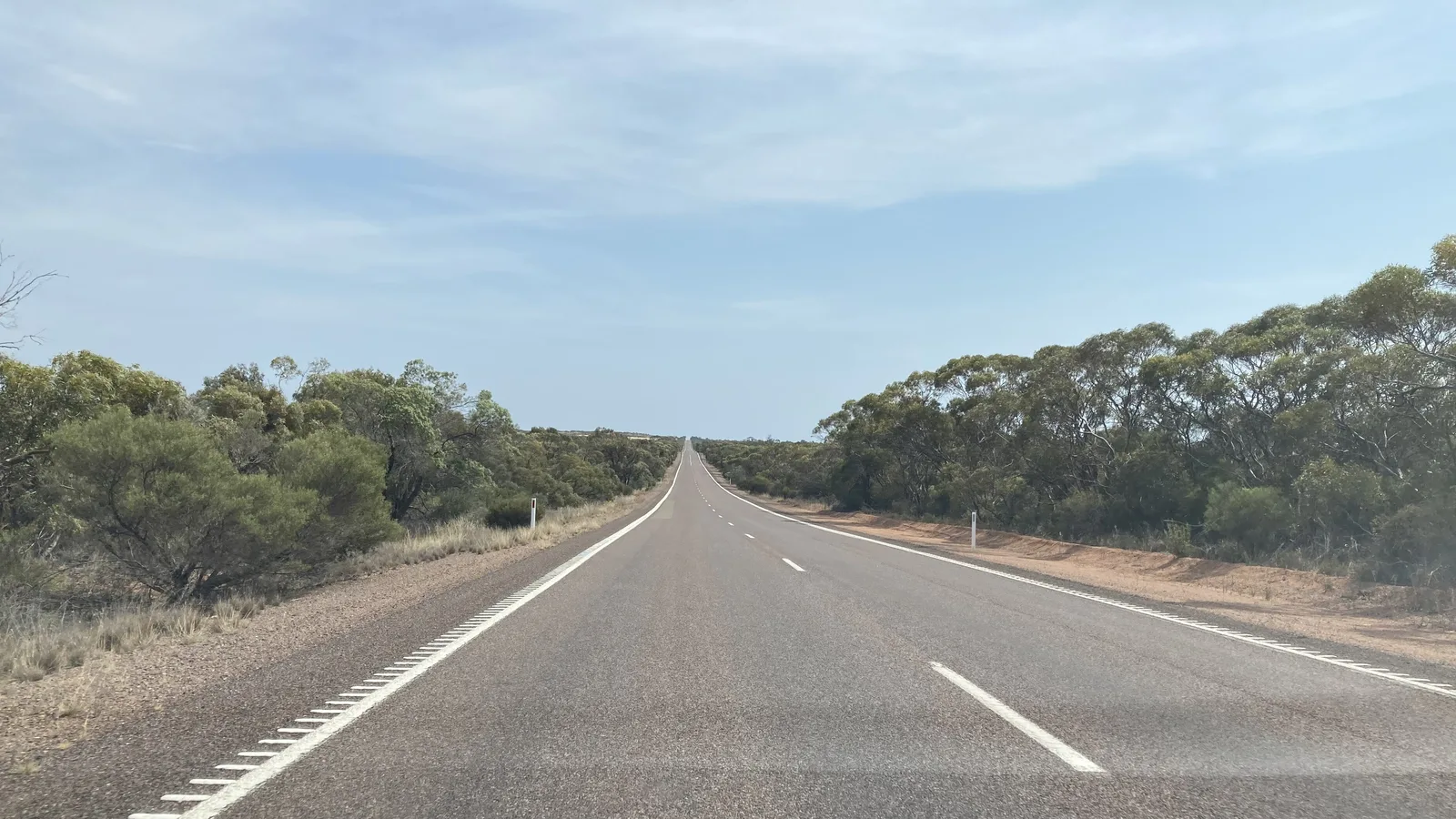
The inland route leaves Adelaide on the South Eastern Freeway, takes the Princes Highway across the Murray at Murray Bridge to Tailem Bend, then follows the Dukes Highway (A8) through Coonalpyn, Tintinara, Keith and Bordertown. Wikipedia describes the Dukes Highway as 190 km from Tailem Bend to the border, mostly one lane each way with 36 overtaking lanes. It becomes the Western Highway at the Victorian border, which runs through Kaniva, Nhill, Horsham, Stawell, Ararat and Ballarat to Melbourne.
The coastal route follows the Princes Highway through Mount Gambier, Warrnambool and Geelong, and the Great Ocean Road adds a further detour between Warrnambool and Torquay. This guide does not repeat that route: the Melbourne to Adelaide coastal route guide covers the Limestone Coast, the Coorong and the camping. Every distance and drive time below comes from OSRM routing on OpenStreetMap data, run on 21 October 2026 for a car driving straight through.
| Route | Distance | Drive time | Road | Best for |
|---|---|---|---|---|
| Dukes Highway and Western Highway via Bordertown, Horsham and Ballarat | About 730 km (726 km direct, 739 km via the towns) | About 9 h 10 min to 9 h 45 min | Mostly single carriageway to near Buangor, then dual to Melbourne | The fastest drive, in one long day or with a Horsham night |
| Princes Highway via Mount Gambier, Warrnambool and Geelong | About 874 km | About 11 h 20 min | Mostly single carriageway | A slower drive along the Limestone Coast |
| Princes Highway then the Great Ocean Road via Port Campbell, Apollo Bay and Torquay | About 971 km | About 13 h 10 min | Winding coastal road in places | The Twelve Apostles, with two or more days |
- Inland: the quickest and the most direct
- Coastal: about 150 km longer, and slower
- Great Ocean Road: a detour, not a shortcut
The inland route in one or two days
By OSRM routing, Adelaide to Murray Bridge is about 76 km (1 h 2 min), Tailem Bend about 24 km further, Keith about 130 km after that and Bordertown about 46 km on. Across the border it is about 44 km to Kaniva, 39 km to Nhill, 75 km to Horsham, 67 km to Stawell, 31 km to Ararat, 94 km to Ballarat and 114 km to Melbourne. Adelaide to Horsham adds up to about 434 km (5 h 36 min), which is why Horsham is the usual night.
Horsham Riverside Caravan Park, at 190 Firebrace Street, is listed by Visit Wimmera Mallee with a dump point, drive-through sites, a camp kitchen and laundry. Nhill Holiday Park, at 93 Victoria Street on the Western Highway, is run by Hindmarsh Shire Council with powered, unpowered and ensuite sites booked online. Confirm availability with each park. The AussieCamps data lists free Victorian rest areas at Serviceton, Lawloit near Nhill, Pink Lake near Dimboola, Green Lake, Golton, Deep Lead and Bungaree, each with toilets, drinking water, picnic tables and barbecues. It lists none in South Australia on this road, which is a gap in the data. Treat rest areas as a place for a break and see the guide on overnight stays and the camping rules guides before you sleep at one.
- Horsham about 434 km
- Nhill about 359 km
- Ballarat about 625 km
Western Highway roadworks and speed limits
The Victorian Big Build page, as shown in search extracts of its pages and a May 2026 government release, lists the 55 km from Ballarat to Buangor as complete and duplicated. It says Buangor to Ararat, about 12 km, will start construction before the end of 2026, with all works expected by mid-2029 subject to approvals, and Ararat to Stawell is at the initial planning stage. The Stawell Times reported in March 2026 that no completion date was confirmed for the stretch west of Buangor.
The same sources say interim safety measures, including reduced speed limits and better signage, are in place between Buangor and Ararat. The extracts do not give the limits, so this guide does not quote a number: follow the posted signs. Wikipedia says the Western Highway is the second-busiest national highway in Australia for freight, with more than 4,000 freight vehicles a day at Anthony's Cutting, so expect trucks on the single carriageway sections. The South Eastern Freeway out of Adelaide has its own rule: Wikipedia says vehicles with five or more axles must keep left and slow to 60 km/h between the Crafers Interchange and the old tollhouse.
- Ballarat to Buangor: complete
- Buangor to Ararat: construction due before the end of 2026
- Follow posted limits near Buangor
Camping and side trips off the highway
Mount Buangor State Park sits on the Western Highway at Buangor, and the AussieCamps data lists its Ferntree, Bailes and Middle Creek camping areas from Parks Victoria, with toilets and drinking water at each. Further west, the data lists the Grampians National Park campgrounds at Stapylton, Coppermine and Troopers Creek, and Ackle Bend Camping Area in Little Desert National Park. Fees are not in the data, so check Parks Victoria before you book.
The Grampians and Little Desert are detours from the highway of different lengths, so they suit a second day rather than a fast run. If you want a longer trip with the coast one way and the Grampians the other, the Melbourne to Adelaide coastal route guide lays out the comparison.
- Mount Buangor: on the highway
- Grampians and Little Desert: plan a detour
- Check Parks Victoria for fees
Fuel, services and dump points
No road authority or operator source checked gives a fuel gap on this route, so no figure should be taken from the OSRM legs, which only show distance between the towns used as waypoints. The longest of those is Tailem Bend to Keith at about 130 km, and Melbourne to Ballarat is about 114 km. Fill up in the larger towns, such as Murray Bridge, Keith, Bordertown, Nhill, Horsham, Stawell, Ararat and Ballarat, rather than waiting for the last town before a long stretch. Work out your fuel budget for the full distance with the road trip fuel guide.
The AussieCamps data lists dump points at Mount Barker Recreation Grounds and Callington Oval, each with a washout tap, and at Coonalpyn Caravan Park with none listed. In Victoria it lists Scallan Street Car Park in Stawell and Green Hill Lake Camping in Ararat, each with a washout tap. Horsham Riverside Caravan Park lists its own dump point. That is only the data's coverage, so check the dump points guide for the rest.
- Fill up at Keith, Nhill, Horsham and Stawell
- Do not wait for the last town
- Mount Barker, Callington, Stawell and Ararat list a washout tap
Road conditions, tolls and the clock
Check Traffic SA for the South Australian section and VicTraffic for Victoria. VicEmergency carries fire warnings and emergency incidents, and a tourism page for the Great Ocean Road says the commonest closure there is rockfall between Lorne and Apollo Bay after heavy rain, so check before taking the coast.
In Melbourne, Linkt says its Visitor's Pass covers CityLink and EastLink for up to 30 days, with an opening fee of $3.50 online or $5.00 by phone, and covers CityLink trips made up to 5 days ago and EastLink trips made up to 3 days ago. Whether your route into Melbourne uses a toll road depends on where you are going, so check before you leave. South Australia and Victoria both observe daylight saving, which began on Sunday 4 October 2026 and ends on Sunday 4 April 2027. South Australia is 30 minutes behind Victoria all year, so put your watch forward half an hour at the border.
- Traffic SA and VicTraffic
- Linkt Visitor's Pass covers Melbourne tolls
- Victoria is 30 minutes ahead
Fruit and vegetables at the border
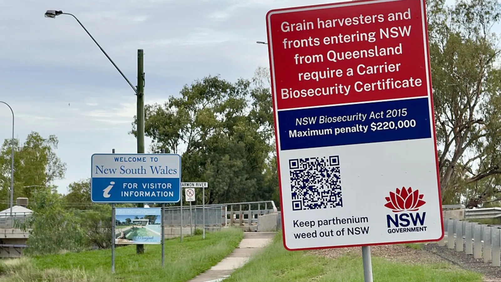
None of the sources checked describes a fruit fly checkpoint on the Victorian side. Agriculture Victoria asks people travelling to Victoria from South Australia and Western Australia not to bring fruit or fruiting vegetables, to keep Mediterranean fruit fly out of the state, which Victoria is free from. That is a request, from a search extract of its page that blocks scripts, so check Agriculture Victoria on 136 186. The Interstate Quarantine site lists no fruit fly zone for Victoria, and says signs on major roads show when you are entering a Phylloxera Exclusion Zone. It also says quarantine stations and fruit disposal bins are placed throughout South Australia and that mobile quarantine stations can operate anywhere in the state at any time.
The stricter rules apply the other way. The Melbourne to Adelaide coastal route guide and the interstate biosecurity guide cover them, and PIRSA says that for travellers from Victoria fresh fruit is not permitted into South Australia, while processed, dried, preserved, cooked, frozen and canned fruit and vegetables are allowed. The Riverland rules are separate and not on this route.
- Eat fresh fruit before you cross
- Victoria: a request, not a stated ban
- Stricter into South Australia
Plan the Adelaide to Melbourne drive in AussieCamps
Plan it as a trip in AussieCamps: add the stops in order, Keith or Nhill, Horsham and a campground at Mount Buangor or the Grampians, and it shows the distance and drive time of each leg with a forecast for the day you plan to arrive. AussieCamps lists 1,838 campgrounds, 5,552 rest areas and 1,393 dump points from park agencies, road authorities and public datasets, including the Parks Victoria campgrounds above, and a place page shows the facilities those sources publish.
Place details, saved places and guides stay readable with no signal. Map tiles, routing, weather and photos need a connection, so open the trip before you leave Tailem Bend. The app is iPhone only and free to download, with in-app purchases.
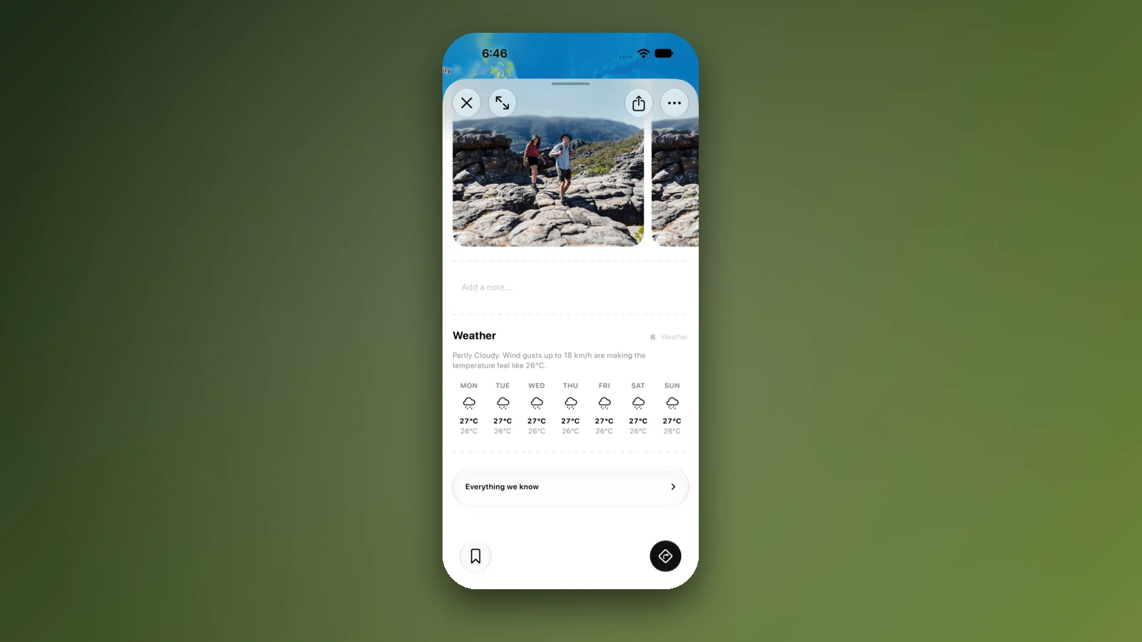
- Add each overnight stop in order
- Forecast per arrival day
- Open the trip before the long stretches
Places along the way
Check before you go
Rules and conditions change. Recheck the official source and the page for your exact park or campground before departure.
- OSRM routing on OpenStreetMap data (Adelaide to Melbourne, computed 21 October 2026)
- Wikipedia: Dukes Highway
- Wikipedia: Western Highway (Victoria)
- Wikipedia: South Eastern Freeway
- Victoria's Big Build: Western Highway Upgrade
- Premier of Victoria: construction to begin on Western Highway Upgrade this year
- Agriculture Victoria: Mediterranean fruit fly
- PIRSA: travelling to South Australia from interstate
- Interstate Quarantine: quarantine zones
- Hindmarsh Shire Council: Nhill Holiday Park
- Visit Wimmera Mallee: Horsham Riverside Caravan Park
- Great Ocean Road: drive conditions
- VicEmergency
- Traffic SA
- Linkt: Visitor's Pass (Melbourne)
- Australian Government: time zones and daylight saving
Common questions
How long does it take to drive from Adelaide to Melbourne?+
About 730 km and 9 h 10 min to 9 h 45 min of driving on the Dukes Highway and Western Highway, by OSRM routing on OpenStreetMap data, depending on the waypoints used. Most drivers split it with a night at Horsham or Nhill, because a day of driving plus fuel and rest stops is long.
Is the Adelaide to Melbourne drive on one highway?+
Nearly. The A8 runs from Tailem Bend as the Dukes Highway, becomes the Western Highway at the border, then joins the Western Freeway at Buangor for the dual carriageway into Melbourne. Wikipedia describes the Dukes Highway as mostly one lane each way, and the Western Highway as single carriageway from the border to just west of Buangor.
Can I take fruit from South Australia into Victoria?+
Agriculture Victoria, in a search extract of its medfly page, asks people travelling to Victoria from South Australia and Western Australia not to bring fruit or fruiting vegetables, to keep Mediterranean fruit fly out. It is described as a request. The Interstate Quarantine site lists no fruit fly zone for Victoria. Eat or leave behind fresh fruit and fruiting vegetables before you cross, and check Agriculture Victoria on 136 186.
Is the Western Highway being upgraded?+
Yes. The Victorian Big Build page lists Ballarat to Buangor as complete, Buangor to Ararat as due to start construction before the end of 2026 with all works expected by mid-2029, and Ararat to Stawell in early planning. Reduced speed limits have been installed between Buangor and Ararat as an interim measure, so watch the signs.
Take it on the road
Save the stops. Plan the whole trip.
Build an ordered route from saved places, calculate the distance and keep dates, notes and to-dos attached.