Adelaide to Port Lincoln is about 650 km, and OSRM routing gives 7 h 44 min, up the Augusta Highway to Port Augusta and then down the Eyre Peninsula on the Lincoln Highway through Whyalla and Cowell. It is a long day or an easy two days, and the road does not go near the sea for much of the way, so towns are the natural stops.
Adelaide to Port Lincoln: the road and the distances
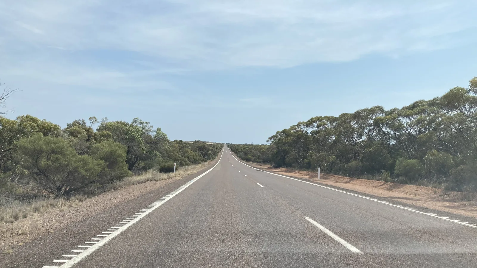
The way out of Adelaide is Port Wakefield Road, which becomes the Augusta Highway (A1) at Port Wakefield. Wikipedia gives the Augusta Highway as 208.1 km to Port Augusta, mainly single carriageway with occasional overtaking lanes. It also says the first section, Port Wakefield to Lochiel, was duplicated, with about 29 km of dual carriageway largely completed by March 2025, and that a 10-year freight upgrade program from 2023 includes more overtaking lanes. Wikipedia says the Augusta Highway was once called the Princes Highway, though it does not join the Princes Highway in the south-east.
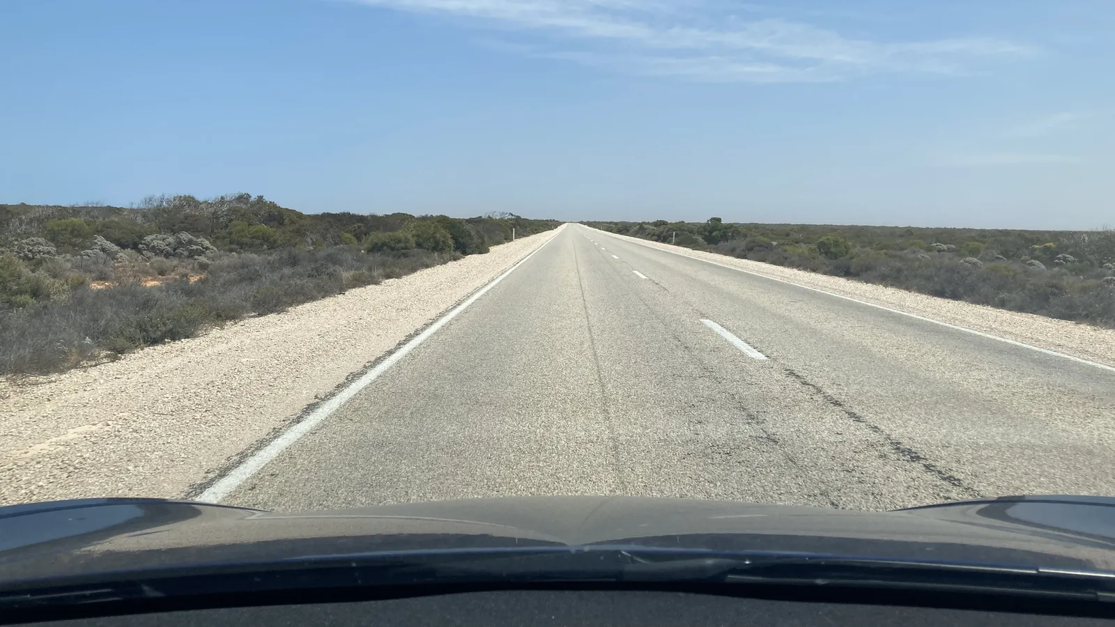
At Port Augusta you take the Eyre Highway for about 25 km by OSRM, then turn south-west at Lincoln Gap onto the Lincoln Highway (B100). Wikipedia says that road is 315 km, sealed, with one lane in each direction, few overtaking lanes and a mostly 110 km/h limit. It passes Whyalla, Cowell, Port Neill and Arno Bay, with the gulf visible only in glimpses, and ends at Port Lincoln. Tumby Bay sits off the highway near the Bratten Way junction.
| Leg | Distance | Drive time |
|---|---|---|
| Adelaide to Port Wakefield | 100 km | 1 h 15 min |
| Port Wakefield to Port Augusta | 209 km | 2 h 28 min |
| Port Augusta to Whyalla | 77 km | 56 min |
| Whyalla to Cowell | 107 km | 1 h 17 min |
| Cowell to Arno Bay | 46 km | 35 min |
| Arno Bay to Tumby Bay | 65 km | 48 min |
| Tumby Bay to Port Lincoln | 70 km | 53 min |
- Augusta Highway: 208 km to Port Augusta
- Lincoln Highway: 315 km, mostly 110 km/h
- Tumby Bay is off the highway
Fuel and the longer gaps
No fuel station or opening time on this route could be confirmed for this guide, so treat every town as a place to check before you rely on it. What the highway tables do show is spacing. On the Lincoln Highway, Wikipedia puts Whyalla 47 km, Cowell 161 km, Arno Bay 198 km, Tumby Bay turn-off 269 km and Port Lincoln 315 km from Lincoln Gap. The widest gap between named towns is therefore Whyalla to Cowell, at about 107 km by OSRM and 114 km by those figures, with only a turn-off to the Middleback Range between.
Fill up in Port Augusta or Whyalla before that stretch, and top up again at Cowell or Arno Bay. The road trip fuel guide has the sums for your tank and any towing.
- Whyalla to Cowell: about 107 km
- Fill up before that stretch
- Confirm hours on the day
Road conditions on the Augusta and Lincoln Highways
Traffic SA is the state's page for roadworks, incidents and planned events, with a map of closures and delays. Roadworks on the route today could not be confirmed, and the department's pages blocked scripts. The freight upgrade on the Augusta Highway is a 10-year program, so allow for works between Port Wakefield and Port Augusta.
With few overtaking lanes on the Lincoln Highway, a long straight run behind a slower vehicle is likely, and Wikipedia describes the road as having many straight stretches and few steep inclines. Plan the day so the last leg into Port Lincoln does not fall at dusk.
- Check Traffic SA before you go
- Expect works on the Augusta Highway
- Few overtaking lanes on the Lincoln Highway
Where to stop and dump points
The AussieCamps data lists one campground near the road, Baroota Campground, 4.7 km off the route about 263 km from Adelaide, with no facilities listed. The towns hold the caravan parks. Discovery Parks lists Whyalla Foreshore Holiday and Caravan Park at 51 Broadbent Terrace, with a dump point, a camp kitchen and a laundry, and dogs allowed on sites and selected cabins. The South Australian Tourism Commission lists Cowell Foreshore Caravan Park on the Esplanade, with unpowered and powered sites, a camp kitchen and a dump point, and Tumby Bay Caravan Park at 47 Tumby Terrace, with powered sites from $43 for two people and a dump point. Ring the park before you arrive, because rates and availability may have changed.
The data lists dump points at Bunyip Park in Koolunga (10 km off the route, free, washout tap) and Point Gibbon near Cowell (5 km off, free, washout tap, toilets and showers). It lists no roadside rest areas within 15 km of the route, so nothing about rest areas is claimed here. The South Australia camping rules guide covers where you may and may not sleep.
- Baroota Campground: no facilities listed
- Caravan parks at Whyalla, Cowell and Tumby Bay
- Dump points at Koolunga and Point Gibbon
Lincoln National Park and Coffin Bay National Park
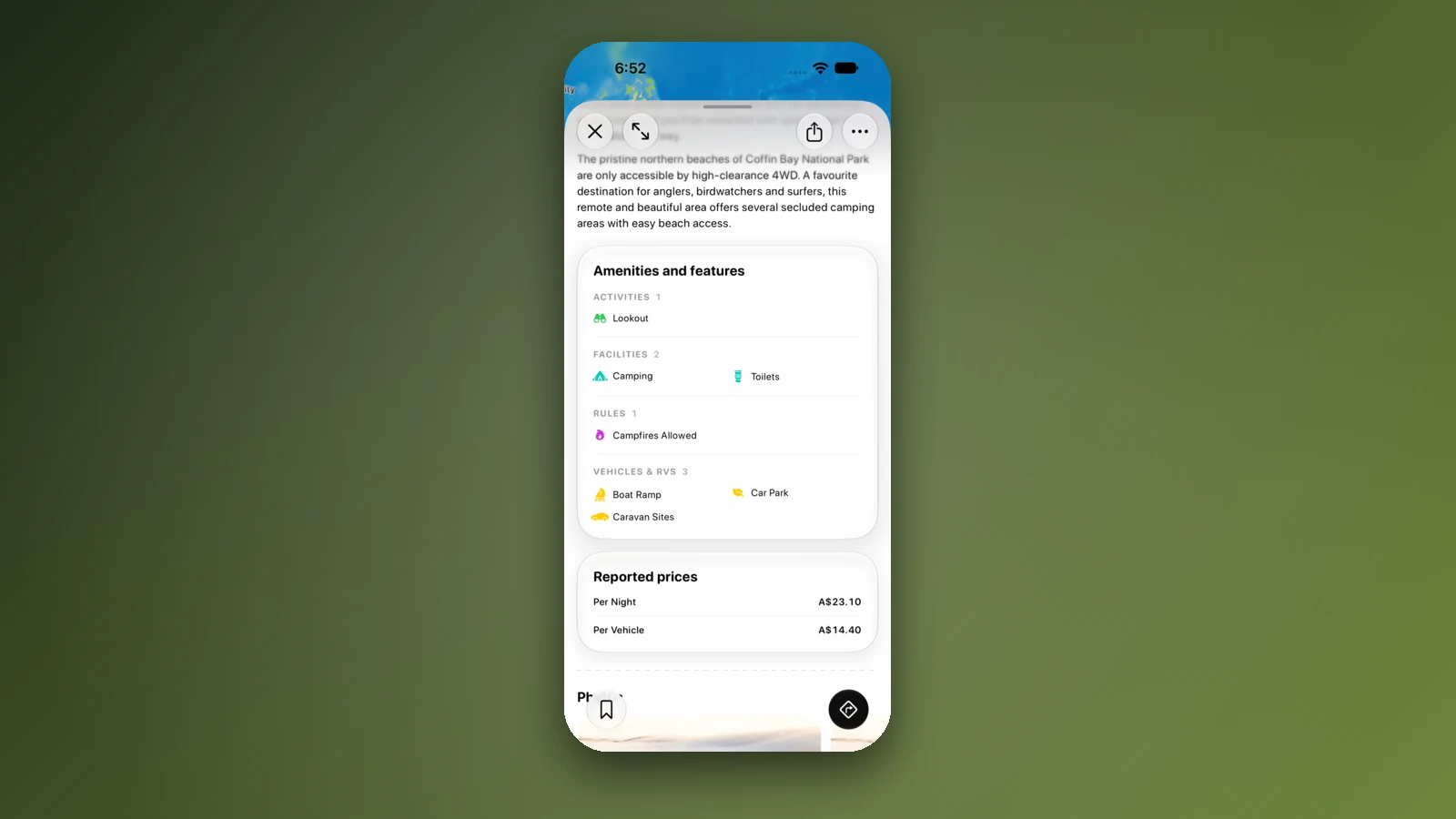
Both parks are close to Port Lincoln, and the SA parks site lists the same vehicle entry fee for each: $14.40 per vehicle, paid before you arrive. Camping is from $23.10 a night, with fees paid before arrival, and the site says dogs are not permitted in either park. Lincoln National Park's entrance is 13 km south-west of Port Lincoln via Proper Bay Road. The site says there is no water in the park and you must bring your own, and that the park closes on Catastrophic Fire Danger days and may close on Extreme days. For closures it points to the CFS website or 1800 362 361.
Lincoln National Park's Surfleet, Taylors Landing and September Beach campgrounds suit caravans, camper vans and tents, and other sites are 4WD only. Coffin Bay National Park is 50 km west of Port Lincoln. Yangie Bay campground is 2WD and suits caravans, and its other named campgrounds are 4WD only. The site says not to tow vans along the Gunyah Beach track or beyond Yangie because of the difficult terrain. It also says to check tide times and avoid driving on beaches at high tide.
- $14.40 per vehicle at each park
- No dogs in either park
- No water in Lincoln National Park
Fruit fly rules in South Australia
Adelaide to Port Lincoln stays inside South Australia, so there is no border check. The state has its own fruit fly outbreaks, though. A search extract of the PIRSA outbreak page, updated on 12 October 2026, lists an Elizabeth East outbreak of Queensland fruit fly with an end date of 12 December 2026, and Riverland outbreaks with an end date of 3 January 2027. It describes a 1.5 km outbreak area and a 15 km suspension area around each detection. The extract says restrictions on moving fruit and vegetables grown within the red outbreak area remain in place.
The Riverland is not on this route. Whether the Elizabeth East zones touch your way out of Adelaide could not be confirmed, and PIRSA's pages blocked scripts, so check the outbreak map. The extract gives the fruit fly hotline as 1300 666 010. The interstate biosecurity guide covers produce at state borders.
- Check the PIRSA outbreak map
- Riverland is off the route
- Elizabeth East outbreak ends 12 December
Plan the Adelaide to Port Lincoln drive in AussieCamps
Build the drive as a trip in AussieCamps, adding Whyalla, Cowell and Port Lincoln as stops so each leg shows its distance and drive time, with a forecast for the day you arrive. The app holds 1,838 campgrounds, 5,552 rest areas and 1,393 dump points from park agencies, road authorities and public datasets, and a place page lists the facilities those sources publish, plus a notes field for your own details.
Stored place details, saved places and guides open with no signal, while map tiles, routing, weather and photos need a connection, so load the trip before the Eyre Peninsula. The app is made for iPhone, and costs nothing to download, with in-app purchases.
- Add each stop in order
- Check the forecast for each night
- Load the trip before Whyalla
Places along the way
Check before you go
Rules and conditions change. Recheck the official source and the page for your exact park or campground before departure.
- OSRM routing on OpenStreetMap data (Adelaide to Port Lincoln, computed 21 October 2026)
- Wikipedia: Augusta Highway
- Wikipedia: Lincoln Highway (South Australia)
- Traffic SA: roadworks, incidents and planned events (sa.gov.au)
- SA National Parks: Lincoln National Park
- SA National Parks: Coffin Bay National Park
- PIRSA: current fruit fly outbreaks in South Australia
- Discovery Parks: Whyalla Foreshore
- South Australian Tourism Commission: Cowell Foreshore Caravan Park
- South Australian Tourism Commission: Tumby Bay Caravan Park
Common questions
How far is Port Lincoln from Adelaide by road?+
About 650 km. OSRM, a routing engine running on OpenStreetMap data, returned 650 km and 7 h 44 min for the direct drive on 21 October 2026, or 673 km and 8 h 16 min when the route is forced through the centres of Whyalla, Cowell, Arno Bay and Tumby Bay. Most travellers split it with a night at Whyalla or Cowell.
Is the road to Port Lincoln mostly dual carriageway?+
Only in parts. Per Wikipedia, the dual carriageway covers about 29 km out of Port Wakefield, and beyond it you share a two-way road to Port Augusta and all the way down the Lincoln Highway. Passing places are scarce on that second road, so a slow caravan can hold up a queue.
Do I pay to enter Lincoln National Park and Coffin Bay National Park?+
Yes. The South Australian parks site lists vehicle entry at $14.40 for each park, with entry paid before you arrive, and camping from $23.10 a night. It says dogs are not permitted in either park, so pets need another plan.
Does the Riverland fruit fly outbreak affect this drive?+
The Riverland is not on the route. PIRSA lists a separate outbreak at Elizabeth East in northern Adelaide, with an end date of 12 December 2026. Look at the PIRSA outbreak map before you leave to see whether its zones cover your way out of the city.
Places to camp in South Australia
Take it on the road
Save the stops. Plan the whole trip.
Build an ordered route from saved places, calculate the distance and keep dates, notes and to-dos attached.