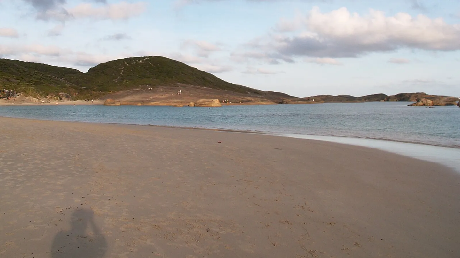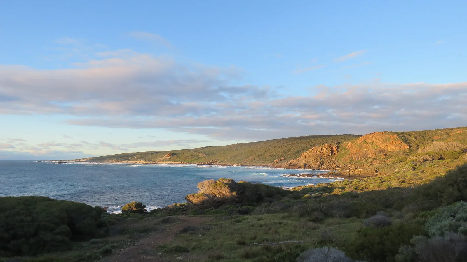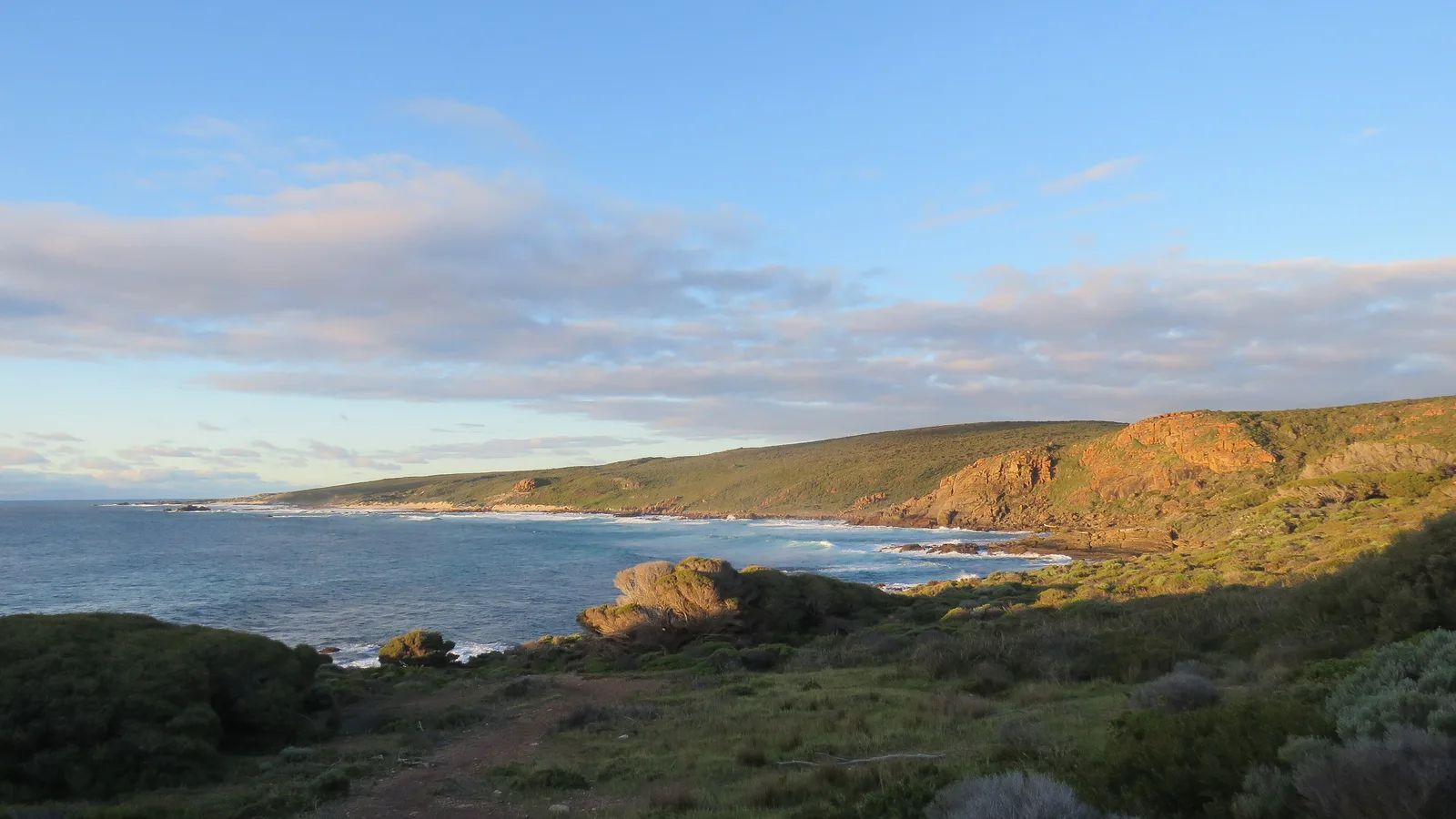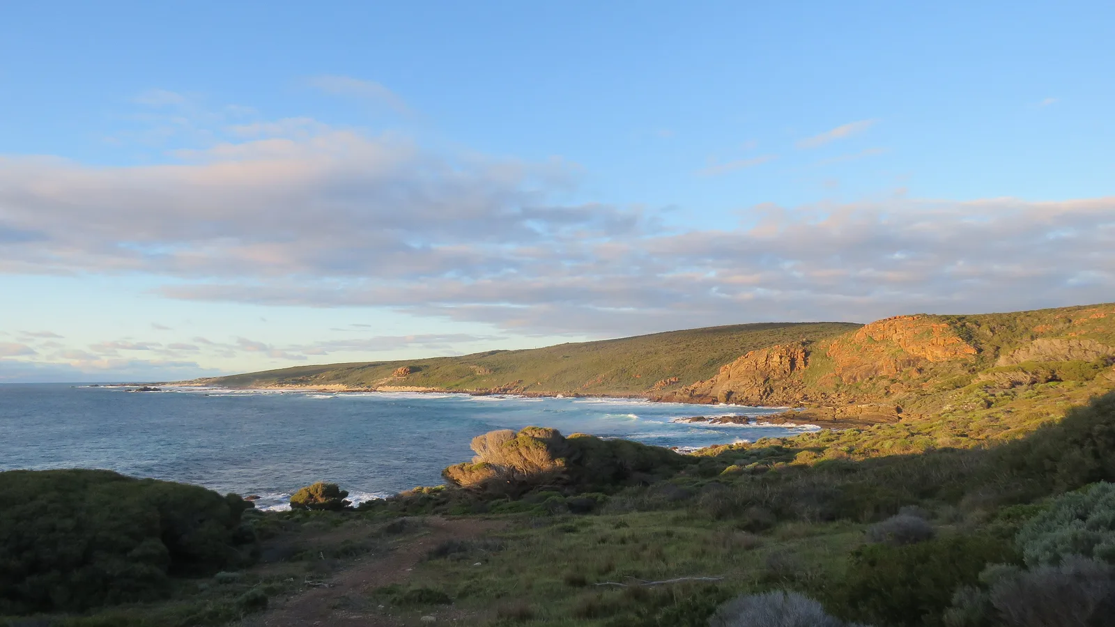
Perth to Margaret River is about 275 to 290 km, which is 273 km by Main Roads WA and 287 km and 3 h 55 min by OSRM routing, via Kwinana Freeway, Forrest Highway and Bussell Highway. It is a one-day drive past Mandurah, Bunbury and Busselton, with Caves Road as the slower scenic finish.
Perth to Margaret River routes compared
The standard route is Kwinana Freeway to Mandurah, Forrest Highway to Bunbury, then Bussell Highway through Capel and Busselton to Margaret River. Wikipedia gives Kwinana Freeway as 72 km, a controlled-access freeway signed up to 110 km/h at its southern end, and Forrest Highway as 95.67 km with two lanes each way, a median and a 110 km/h limit. Main Roads WA says the Wilman Wadandi Highway, a 27 km four-lane road that opened in December 2024, links Forrest Highway to Bussell Highway and saves 11 to 18 minutes depending on destination and traffic. Main Roads also says the Bussell Highway duplication is complete, with all four lanes open to traffic on 17 April 2025.
The alternative is the South Western Highway through Pinjarra, Harvey and Donnybrook, then across to Busselton. By OSRM it is 297 km and 4 h 05 min to Busselton, against 237 km on the main route, so it adds about 60 km. Vasse Highway is real, but it does not shorten the trip. Wikipedia describes it as a 151 km road from Busselton through Nannup and Pemberton, in jarrah and karri forest, so it suits a trip on to Pemberton rather than the way to Margaret River. The South West WA camping loop covers that country.
| Route | Distance | Drive time | Road | Best for |
|---|---|---|---|---|
| Kwinana Freeway, Forrest Highway, Bussell Highway | 273 km (Main Roads WA), 287 km (OSRM) | 3 h 55 min (OSRM) | Freeway, Forrest Highway (two lanes each way), then Bussell Highway | The direct one-day drive |
| South Western Highway via Donnybrook, then Busselton | 297 km to Busselton (OSRM), against 237 km on the main route | 4 h 05 min to Busselton (OSRM) | Sealed, through Pinjarra, Harvey and Donnybrook | Stopping in Harvey or Donnybrook |
| Main route with Caves Road from Busselton | About 88 km from Busselton, against 50 km direct (OSRM) | About 1 h 30 min, against 43 min (OSRM) | Narrow and winding in most parts, per Wikipedia | A coastal and cave detour |
- Main route: about 273 to 287 km
- South Western Highway adds about 60 km
- Vasse Highway runs to Nannup and Pemberton
The drive leg by leg
By OSRM the legs are Perth to Mandurah 72 km (57 min), Mandurah to Bunbury 111 km (1 h 26 min), Bunbury to Busselton 54 km (46 min) and Busselton to Margaret River 50 km (44 min). Main Roads WA's distance guide puts Bunbury at 172 km, Busselton at 224 km and Margaret River at 273 km, so Bunbury to Busselton is about 52 km and Busselton to Margaret River 49 km.
Main Roads WA says its 2015 figures can go out of date. It also says some finishing works were still under way on the Wilman Wadandi Highway between Paris Road and Bussell Highway until late August 2026, with speeds reduced to 80 km/h and lane closures. That date has passed, but check the Travel Map for any works on the day.
- Perth to Bunbury: 172 km
- Bunbury to Busselton: about 52 km
- Busselton to Margaret River: 49 km
Fuel and rest areas
This route passes through towns the whole way, so fuel is not a planning problem the way it is further north. Wikipedia says twin roadhouses opened on Forrest Highway in late 2017, about 5 km south of Greenlands Road, but fuel availability and opening hours could not be confirmed. Fill up in Mandurah, Bunbury or Busselton, and again before leaving Margaret River for the Caves Road coast. The fuel planning guide covers range for longer trips.
Main Roads WA's 2015 guide marks rest areas named Settlers, Myalup and Rotary Park on the route, with more unnamed along Bussell Highway. It says 24 hour rest areas are not intended for camping, and stopping is not to exceed 24 consecutive hours, so treat them as a place for a break and book a campground or caravan park for the night. For the full rules, read the rest area guide and the Western Australia camping rules guide.
- Fuel in Mandurah, Bunbury, Busselton
- Rest areas are for a break only
- Fill up before the Caves Road coast
Road conditions and wildlife
Before you set off, open the Main Roads WA Travel Map or call 138 138. Main Roads WA says many major rural highways are unfenced, with no barriers to stop wild or pastoral animals crossing, and to be alert for animals on the road, particularly dusk and dawn. It says to slow down if you meet an animal, and to be ready to stop suddenly without swerving. The road trains guide covers overtaking.
No official source for school-holiday traffic on this route could be found for this guide, so it is not assessed here. Caves Road is narrow and winding in most parts, according to Wikipedia, and OSRM gives about 88 km and 1 h 30 min from Busselton to Margaret River that way, against 50 km and 43 minutes on Bussell Highway. Allow the extra time, and avoid the road at dusk and dawn when animals are active.
- Travel Map or 138 138
- Animals at dusk and dawn
- Caves Road takes about twice as long
Leeuwin-Naturaliste National Park fees and bookings
DBCA says entry to Leeuwin-Naturaliste National Park is free, and no dogs or other pets are allowed in the park. Admission fees apply at the caves: DBCA lists Mammoth, Lake, Jewel and Ngilgi caves, and points to the cave operator's page for opening hours and prices. DBCA puts Mammoth Cave 11 km south of Margaret River along Caves Road, and the entry to Jewel Cave about 45 km south of Margaret River via Bussell Highway and Caves Road. Lake Cave and Jewel Cave have one-hour guided tours, and Mammoth Cave has a self-guided audio tour.
DBCA lists four bookable campgrounds in the park: Conto, Point Road, Boranup and Jarrahdene. Each page says bookings are essential, and Boranup, Point Road and Jarrahdene can be booked up to 180 days ahead, for one campsite only. A per person camping fee applies and is paid by Mastercard or VISA when booking. DBCA says drinking water is not provided, toilets are no-flush pit toilets, no dogs are allowed, and generators are not permitted at Boranup, Point Road or Jarrahdene. Boranup has only seven campsites, suitable for tents and small campervans only. Its page also says December to April can be extremely hot and the risk of bushfire can be very high. Hamelin Bay Holiday Park is privately operated, according to DBCA. The camp-by-camp guide stays in the South West WA camping loop.
- Park entry is free, caves charge
- Campground bookings are essential
- No drinking water at DBCA campgrounds
Fruit rules and Western Australia
The whole drive stays inside Western Australia, so no state border or interstate checkpoint is crossed. DPIRD has a Queensland fruit fly Quarantine Area Notice for a 15 km radius around the corner of South Terrace and Sandgate Street, South Perth, in force until 11:59pm on 31 March 2027 after an amendment on 22 September 2026. Under the DPIRD page, host fruit cannot leave the Orange Zone, which is a 15 km radius around the detection points, unless it has been treated. The notice also says fruit entering or passing through the area must travel under secure conditions, such as fully enclosed packaging or vehicles without gaps over 1.6 mm.
DPIRD says Medfly's main area of infestation runs from Perth through Bunbury, Bridgetown, Donnybrook and Manjimup, but no Medfly rule for travellers on this route could be confirmed. DPIRD's Pest and Disease Information Service is on (08) 9368 3080. Breaking the notice could bring a fine, according to DPIRD. The Perth to Albany guide has the same notice from the other side, and the interstate biosecurity guide covers state borders.
- Check DPIRD before leaving Perth
- Notice runs to 31 March 2027
- Treated fruit only out of the area
Dump points
The councils publish dump points along the way. The Shire of Capel lists one on Buchanan Road, off Capel Drive, with a lock and an access code on its page, and asks that nothing but effluent is disposed of. The City of Busselton lists one at Churchill Park, on the corner of Brown Street and Adelaide Street, also locked, and its tourism page says most caravan parks in the City provide dump points for visitors. The Shire of Augusta Margaret River says its Margaret River dump point, at the western end of Gloucester Park next to the Recreation Centre, and its Cowaramup dump point, on Hall Road, are operational all year and free of charge.
The AussieCamps data lists free dump points with a washout tap at Snells Park in Harvey and on Boyanup-Picton Road in Dardanup, which reflects its coverage and not every dump point. DBCA says Jarrahdene Campground has a chemical toilet dump point, and says not to empty portable toilet waste into campground toilets. Blackwater goes only to a rest area with the effluent dump point sign or to the nearest town's dump site, according to Main Roads WA. The dump points guide has more.
- Capel, Busselton, Margaret River, Cowaramup
- Margaret River dump point is free
- Data coverage is not every dump point
Plan the Perth to Margaret River drive in AussieCamps
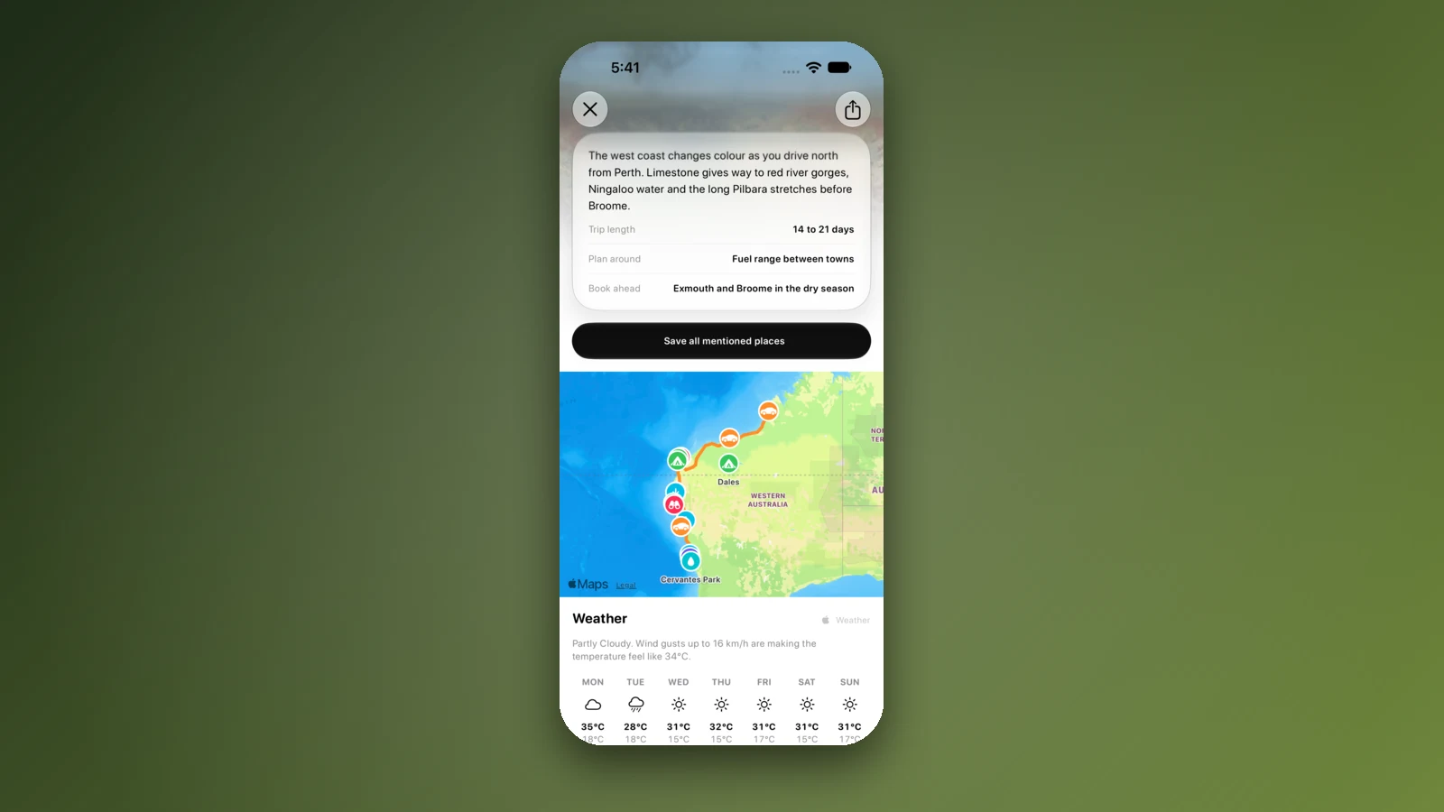
Plan it as a trip in AussieCamps: add the stops in order and it shows the distance and drive time of each leg, with a forecast for the day you plan to arrive. The app holds 1,838 campgrounds, 5,552 rest areas and 1,393 dump points taken from park agencies, road authorities and public datasets, and a place page has a notes field for your own remarks beside the published facilities.
Even in a dead spot, the stored place details, saved places and guides open. Map tiles, routing, weather and photos need a connection, so open the trip in range before the Caves Road coast. On iPhone it is free to download, with in-app purchases.
- Add each stop in order
- Forecast for each arrival day
- Open the trip before the coast
Places along the way
Check before you go
Rules and conditions change. Recheck the official source and the page for your exact park or campground before departure.
- OSRM routing on OpenStreetMap data (Perth to Margaret River, computed 21 October 2026)
- Main Roads WA: rest areas and amenities, Perth to Augusta (2015)
- Main Roads WA: regional and long distance driving
- Main Roads WA: Travel Map
- Main Roads WA: Wilman Wadandi Highway (Bunbury Outer Ring Road)
- Main Roads WA: Bussell Highway Duplication
- DBCA Explore Parks WA: Leeuwin-Naturaliste National Park
- DBCA Explore Parks WA: Mammoth Cave
- DBCA Explore Parks WA: Jewel Cave
- DBCA Explore Parks WA: Boranup Campground
- DBCA Explore Parks WA: Jarrahdene Campground
- Shire of Capel: caravan and RV dump point
- City of Busselton: dump points
- Shire of Augusta Margaret River: public facilities and parking
- DPIRD: Queensland fruit fly (South Perth quarantine area)
- DPIRD: Quarantine Area Notice as amended, September 2026
- DPIRD: Mediterranean fruit fly
- Wikipedia: Forrest Highway
- Wikipedia: Kwinana Freeway
- Wikipedia: Caves Road (Western Australia)
- Wikipedia: Vasse Highway
Common questions
How far is it from Perth to Margaret River?+
Main Roads WA's 2015 rest area guide puts Margaret River at 273 km from Perth on the Forrest Highway and Bussell Highway route. By OSRM on OpenStreetMap data the drive is 287 km and 3 h 55 min between town centres. It is an easy one-day drive with no overnight needed.
Is there an entry fee for Leeuwin-Naturaliste National Park?+
No. DBCA lists no park entry fee, though it does not allow dogs or other pets in the park. The caves are different: DBCA says admission fees apply at Mammoth, Lake, Jewel and Ngilgi caves, and points to the cave operator for opening hours and prices.
Do I need to book a campground in the park?+
Yes. DBCA lists Conto, Point Road, Boranup and Jarrahdene as bookable campgrounds, and each page says bookings are essential. Boranup, Point Road and Jarrahdene can be booked up to 180 days ahead, for one campsite only, and DBCA says drinking water is not provided at any of them.
Can I take fruit out of Perth?+
Check DPIRD first. A Queensland fruit fly quarantine notice currently covers South Perth, and DPIRD says host fruit cannot be moved out of that area unless treated; read the notice for the end date. The rest of the drive has no state border.
Places to camp in Western Australia


Take it on the road
Save the stops. Plan the whole trip.
Build an ordered route from saved places, calculate the distance and keep dates, notes and to-dos attached.