Perth to Albany is about 410 km, which is 408 km and 4 h 43 min by Main Roads WA and 426 km and 5 h 25 min by OSRM routing, via Albany Highway. It works as a long day's drive, and a night at Kojonup or Mount Barker makes it comfortable. The South Western Highway through Manjimup and Denmark is about 540 km and suits a slower trip.
Perth to Albany routes compared
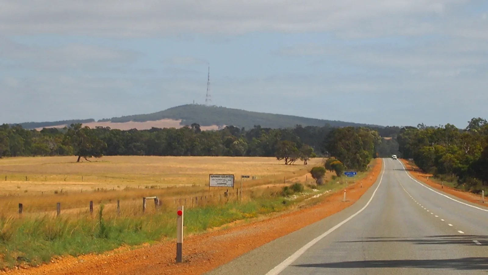
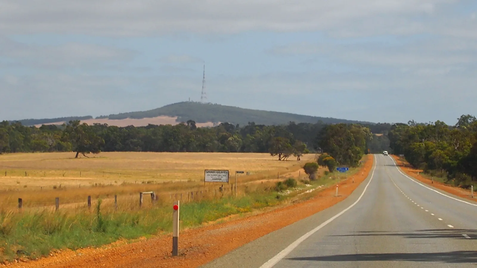
There are two real choices. Albany Highway (State Route 30) is the direct road through Armadale, Williams, Kojonup, Cranbrook and Mount Barker. Wikipedia describes it as a sealed two-lane single carriageway outside Perth, with overtaking lanes in some undulating areas. The South Western Highway runs south through Pinjarra, Harvey, Donnybrook and Manjimup, then on to Walpole, where it continues as South Coast Highway through Denmark. Wikipedia says the section south of Bunbury is sparsely populated and heavily forested, especially from Manjimup.
A third option links the two. Muirs Highway runs 161 km between Mount Barker and Manjimup, according to Wikipedia, as a single carriageway through karri and jarrah forest, with Rocky Gully as the only village. Wikipedia calls it mainly a freight route for plantation timber trucks and long interstate vehicles. Driving down Albany Highway and back by Muirs Highway and Donnybrook is about 508 km from Albany to Perth by OSRM. Main Roads WA's figures come from its 2015 rest area guide, which it says can go out of date.
| Route | Main Roads WA | OSRM | Road | Best for |
|---|---|---|---|---|
| Albany Highway via Armadale, Williams, Kojonup and Mount Barker | 408 km, 4 h 43 min | 426 km, 5 h 25 min | Sealed single carriageway outside Perth | The direct drive, in a day or two |
| South Western Highway via Bunbury or Pinjarra, Manjimup, Walpole and Denmark | About 536 km (Perth to Bunbury 172 km plus Bunbury to Albany 364 km, 4 h 40 min) | 553 km, 7 h 34 min via Pinjarra and Harvey | Sealed, through forest from Manjimup | A slow trip through karri country and Denmark |
| Albany Highway to Mount Barker, Muirs Highway to Manjimup | Muirs Highway 161 km (Wikipedia) | Mount Barker to Manjimup 163 km, 2 h 04 min | Single carriageway through forest, heavy timber trucks | Out one way and back the other |
- Albany Highway is the direct route
- South Western Highway adds about 130 km
- Muirs Highway links the two
Albany Highway, leg by leg
Main Roads WA's distance guide puts Armadale at 30 km, Williams at 160.5 km, Kojonup at 256 km, Mount Barker at 359 km and Albany at 408 km. That makes Williams to Kojonup 95 km and Kojonup to Mount Barker about 103 km. By OSRM the legs are Perth to Armadale 37 km (35 min), Armadale to Williams 131 km (1 h 34 min), Williams to Kojonup 95 km (1 h 09 min), Kojonup to Cranbrook 70 km (51 min), Cranbrook to Mount Barker 41 km (32 min) and Mount Barker to Albany 51 km (42 min).
Wikipedia says the road has many traffic lights in the south-eastern suburbs of Perth, where it runs four to six lanes for about 15 km. Between towns it is a two-lane road, and Wikipedia gives Williams, Kojonup and Mount Barker as about 100 km apart. The Albany Ring Road opened on 19 May 2024 and diverts heavy vehicles around the city, according to the State Government's project page, which says a flyover at Menang Drive and Chester Pass Road is due for completion in 2026, so expect works near Albany.
- Armadale to Williams: 131 km
- Williams to Kojonup: 95 km
- Mount Barker to Albany: 51 km
Fuel, rest areas and where to stop
Wikipedia lists roadhouses on Albany Highway at North Bannister, Crossman and Arthur River. Fuel availability and opening hours at each could not be confirmed, so fill up in Armadale or Williams and again at Kojonup. Main Roads WA says to pack extra food, water and fuel in case of emergency or breakdown, especially when rest stops are limited. The fuel planning guide covers how to budget range.
Main Roads WA's 2015 guide marks rest areas at Glen Eagle Forest, Williams Lion, Martup Pool, Crapella, Tunney and Orup Creek. It says 24 hour rest areas are not intended for camping, and stopping is not to exceed 24 consecutive hours. They are for a break, so use a caravan park or the Kojonup RV stay for the night. The rest area guide and the Western Australia rules guide cover the rules.
At Kojonup, the Shire's visitor site describes an RV stay on the corner of Albany Highway and Gordon Street, next to the Giant Wool Wagon. It costs $5.00 per night, with a maximum continuous stay of 3 nights, and you need a permit from the Kojonup Visitors Centre. It says you must be self-sufficient and that generators are not allowed. In Mount Barker, the Shire of Plantagenet lists Mount Barker Caravan Park at 31720 Albany Highway and Porongurup Range Tourist Park at 7 Box Hill Road. At Albany, BIG4 Emu Beach Holiday Park says on its site that it has a caravan and camping area. Ring ahead in each case, because rates and availability could not be confirmed.
- Fuel at Armadale, Williams and Kojonup
- Rest areas are for a break only
- Kojonup RV stay: $5 a night, 3 nights
Road conditions and wildlife at dusk
Check the Main Roads WA Travel Map or ring 138 138 before you leave. No current Albany Highway roadworks could be confirmed for this guide, so the Travel Map is the place to look for closures and works on the day. Main Roads WA's guide says many major rural highways are unfenced, so there are no barriers to stop wild or pastoral animals crossing. It says to be alert for animals on the road, particularly dusk and dawn, and to slow down and sound your horn if you meet one.
The Main Roads WA long-distance page adds that if animals are on the road, you should be ready to stop suddenly and avoid swerving. It says to overtake road trains only when you have a long straight stretch ahead that is completely clear, and to swap drivers every two hours. If you leave Perth late, plan the last stretch into Albany so it does not fall at dusk or dawn. The road trains guide covers overtaking.
- Travel Map or 138 138
- Animals at dusk and dawn
- Swap drivers every two hours
Stirling Range and Porongurup side trips
Both parks sit close to Albany Highway, and DBCA lists the same entry fee at each: $17.00 for a standard vehicle of 12 or fewer occupants, $10.00 concession, $10.00 for a motorcycle, and $8.00 per person ($3.50 concession) for a large vehicle. A valid park pass covers the fees, and DBCA says no dogs or other pets are allowed in either park. The Shire of Plantagenet says Porongurup is about 20 km east of Mount Barker, and OSRM gives 28 km and 30 minutes from Mount Barker to Castle Rock. DBCA describes the Castle Rock Trail as 4.7 km return, which climbs 670 m to the top on the Granite Skywalk.
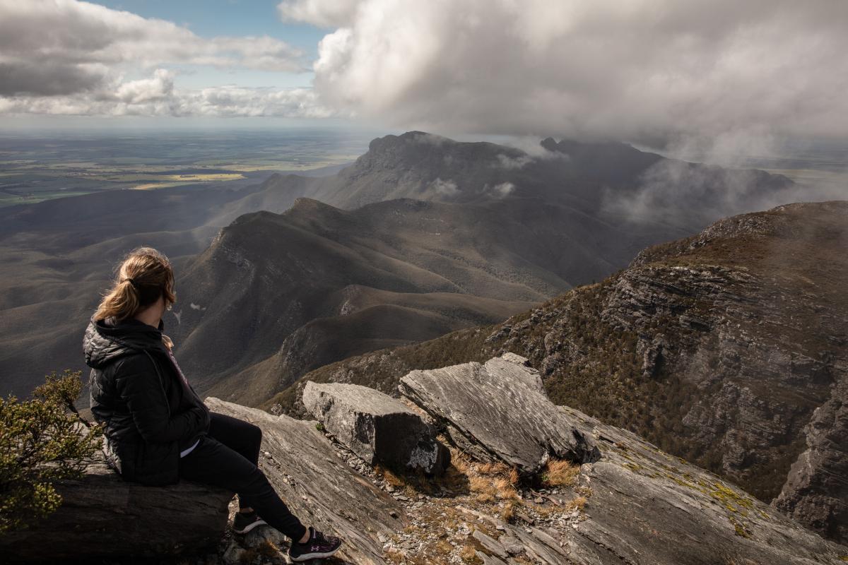
DBCA says Bluff Knoll in the Stirling Range is 4.5 hours south of Perth and 1.5 hours from Albany. The walk is 6.8 km return, Grade 4, to 1,098 m, on a steep path with many steps, and DBCA warns of rapid, unpredictable changes in the weather. It advises against entering the bush or using footpaths on days of extreme fire danger. Moingup Spring Campground is in the AussieCamps data, and DBCA says bookings are essential, drinking water is not provided and no dogs are allowed. A camping fee and a park entry fee both apply, and bookings go through ParkStay. By OSRM it is 77 km from Cranbrook and 97 km from Albany. In Albany itself, Torndirrup National Park has the same fee, and DBCA warns of a notorious record for accidents and deaths from people washed off the coast. Check alerts.dbca.wa.gov.au before you go, and see the South West WA camping loop for the rest of Albany.
- Same $17 vehicle fee at both parks
- No dogs in either park
- Bluff Knoll weather changes fast
Fruit rules and Western Australia
Perth to Albany is entirely in Western Australia, so there is no state border and no interstate checkpoint. One fruit rule does matter at the Perth end. DPIRD has a Quarantine Area Notice for Queensland fruit fly over a 15 km radius around the corner of South Terrace and Sandgate Street, South Perth, in force until 11:59pm on 31 March 2027, following an amendment on 22 September 2026. DPIRD's page says host fruit must not be moved outside the Orange Zone, a 15 km radius around the detection points, unless it has been treated. The notice lets fruit move out after cooking, processing or freezing for at least 24 hours, and DPIRD says breaking it could bring a fine.
The notice also covers fruit entering or passing through the area: it must travel under secure conditions, such as fully enclosed packaging or vehicles free from gaps over 1.6 mm. DPIRD's page does not address travellers directly, so ring its Pest and Disease Information Service on (08) 9368 3080 if you are unsure. DPIRD says Medfly is found throughout WA from Esperance to Carnarvon, and no Medfly rule for travellers on this route could be confirmed. The interstate biosecurity guide covers rules at state borders.
- Check DPIRD before leaving Perth
- Notice runs to 31 March 2027
- Treated fruit only out of the area
Dump points and the AussieCamps data
The Shire of Plantagenet says a dump point and potable water are available at the Mount Barker Visitor Centre on Albany Highway, and the Kojonup visitor site says both are at the Railway Station Reserve. Main Roads WA says blackwater may only be disposed of in rest areas displaying the effluent dump point sign, or at the nearest town's dump site. The AussieCamps data lists no campground, dump point or rest area within 12 km of Albany Highway, which reflects its coverage and not what is on the road, so use the Shire pages above.
On the South Western Highway, the data lists free dump points with a washout tap at Snells Park in Harvey and on Boyanup-Picton Road in Dardanup. It also lists campgrounds at Shannon, and Banksia Camp and Black Point near Walpole, so check the booking and facility rules with DBCA before you rely on them. The dump points guide explains how to use them.
- Mount Barker Visitor Centre has a dump point
- Kojonup: Railway Station Reserve
- Data coverage is not every dump point
Plan the Perth to Albany drive in AussieCamps
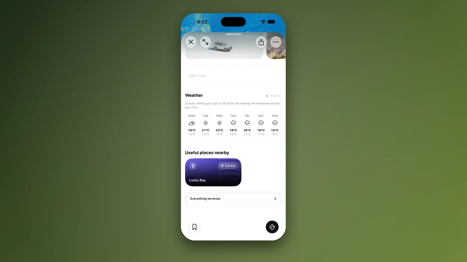
Plan it as a trip in AussieCamps: add Kojonup, Mount Barker and Albany as nights and it shows the distance and drive time of each leg, with a forecast for the day you plan to arrive. AussieCamps lists 1,838 campgrounds, 5,552 rest areas and 1,393 dump points from park agencies, road authorities and public datasets, and each place page shows the facilities those sources publish, with a notes field of your own.
Place details, saved places and guides load without reception. Map tiles, routing, weather and photos need a connection, so open the trip in range before the long stretches between Williams and Kojonup. The iPhone app is free to download, with in-app purchases.
- Add each night in order
- Forecast for each arrival day
- Open the trip before the long legs
Places along the way
Check before you go
Rules and conditions change. Recheck the official source and the page for your exact park or campground before departure.
- OSRM routing on OpenStreetMap data (Perth to Albany, computed 21 October 2026)
- Main Roads WA: rest areas and amenities, Perth to Albany (2015)
- Main Roads WA: rest areas and amenities, Bunbury to Albany (2015)
- Main Roads WA: rest areas and amenities, Perth to Augusta (2015)
- Main Roads WA: regional and long distance driving
- Main Roads WA: Travel Map
- Albany Ring Road, Building for Tomorrow (WA Government)
- DBCA Explore Parks WA: Stirling Range National Park
- DBCA Explore Parks WA: Porongurup National Park
- DBCA Explore Parks WA: Torndirrup National Park
- Shire of Plantagenet: visitor information and attractions
- Kojonup visitor site: Recreation Vehicle Stay
- BIG4 Emu Beach Holiday Park: caravan and camping
- DPIRD: Queensland fruit fly (South Perth quarantine area)
- DPIRD: Quarantine Area Notice as amended, September 2026
- DPIRD: Mediterranean fruit fly
- Wikipedia: Albany Highway
- Wikipedia: South Western Highway
- Wikipedia: Muir Highway
Common questions
How far is it from Perth to Albany?+
Main Roads WA gives 408 km and 4 h 43 min via Albany Highway, in its 2015 rest area guide. OSRM routing on OpenStreetMap data gives 426 km and 5 h 25 min, centre to centre. Most people do it in one day, or split it with a night at Kojonup or Mount Barker.
Is Albany Highway or the South Western Highway better?+
Albany Highway is the direct route and about 130 km shorter. Main Roads WA gives Bunbury to Albany via South Western Highway as 364 km and 4 h 40 min, and Perth to Bunbury as 172 km, so that way is about 536 km. It suits a trip through Manjimup, Walpole and Denmark rather than the quickest drive.
Do I pay to enter the Stirling Range and Porongurup?+
Yes. DBCA lists $17.00 for a standard vehicle (12 or fewer occupants) and $10.00 concession at both parks, and says a valid park pass covers the fees. DBCA also says no dogs or other pets are allowed in either park.
Can I take fruit out of Perth?+
Check DPIRD first. A Queensland fruit fly Quarantine Area Notice covers a 15 km radius around South Perth until 11:59pm on 31 March 2027, and DPIRD's page says host fruit must not be moved outside the area unless it has been treated. The rest of the route is in Western Australia, with no state border.
Places to camp in Western Australia


Take it on the road
Save the stops. Plan the whole trip.
Build an ordered route from saved places, calculate the distance and keep dates, notes and to-dos attached.