Three weeks is enough to drive from Sydney to Adelaide along the south-east coast without rushing, but not enough to add every detour. This route runs 2,517 km, about 34 hours at the wheel across 15 driving days, with seven nights spent in pairs so you get days without the campervan moving. It follows the New South Wales south coast, crosses into Victoria at Mallacoota, takes in Wilsons Promontory and the Great Ocean Road, turns inland to the Grampians and ends along the Coorong. Distances and times are from OSRM routing on OpenStreetMap data, worked out on 9 November 2026.
The route at a glance
The plan has 21 days, 20 nights and no leg over four hours. The longest day is Lakes Entrance to Wilsons Promontory, and the two nights at each of seven stops are what keep the trip from becoming a transfer.
A one-way hire from Sydney to Adelaide usually costs more than a return, and not every company has a depot in both cities, so check that before you plan. Driving it the other way, from Adelaide to Sydney, works just as well.
| Days | Leg | Distance | Drive time | Nights |
|---|---|---|---|---|
| 1 | Sydney to Jervis Bay (Huskisson) | 186 km | 2 h 48 min | 2 |
| 3 | Jervis Bay to Batemans Bay | 106 km | 1 h 36 min | 2 |
| 5 | Batemans Bay to Eden | 198 km | 2 h 49 min | 1 |
| 6 | Eden to Mallacoota | 85 km | 1 h 6 min | 2 |
| 8 | Mallacoota to Lakes Entrance | 203 km | 2 h 38 min | 1 |
| 9 | Lakes Entrance to Tidal River, Wilsons Promontory | 286 km | 3 h 57 min | 2 |
| 11 | Tidal River to Melbourne | 224 km | 3 h 5 min | 2 |
| 13 | Melbourne to Apollo Bay | 197 km | 2 h 47 min | 2 |
| 15 | Apollo Bay to Port Fairy via Port Campbell | 185 km | 2 h 47 min | 1 |
| 16 | Port Fairy to Halls Gap, Grampians | 156 km | 2 h 5 min | 2 |
| 18 | Halls Gap to Mount Gambier | 221 km | 2 h 57 min | 1 |
| 19 | Mount Gambier to Robe | 133 km | 1 h 37 min | 1 |
| 20 | Robe to Meningie, the Coorong | 187 km | 2 h 16 min | 1 |
| 21 | Meningie to Adelaide | 149 km | 1 h 52 min | 0 |
- 2,517 km in 21 days
- No leg over four hours
- Seven two-night stops
Week one: the New South Wales south coast
Leave Sydney early and drive the 186 km to Jervis Bay. Booderee National Park, run by Parks Australia, has campsites at Green Patch, Cave Beach and Bristol Point, and its own park pass, which a NSW national parks pass does not cover; Green Patch weekends are generally booked out up to a month ahead from October to May. Spend the second day on the white-sand beaches, then move south to Batemans Bay for two nights near Murramarang National Park, where kangaroos graze the beach campgrounds at Pebbly and Depot beaches.
Day 5 is the longest on this coast, 198 km to Eden on the Princes Highway. Beowa National Park, renamed from Ben Boyd National Park in 2022, has vehicle campgrounds at Saltwater Creek and Bittangabee Bay south of town. Day 6 is a short 85 km to Mallacoota, inside Croajingolong National Park on the Victorian side, for two nights on the inlet.
- Book Booderee early
- Kangaroos at Murramarang
- Two nights at Mallacoota
Week two: Gippsland, the Prom and Melbourne
Drive 203 km to Lakes Entrance on day 8, then the trip's longest leg, 286 km and almost four hours, to Tidal River in Wilsons Promontory National Park. Parks Victoria now takes instant bookings for Tidal River rather than running a ballot, but in summer the campground has a minimum stay: between 20 December 2026 and 24 January 2027 camping is booked by the week, arriving and leaving on a Sunday. Outside that window two nights is enough for the Mount Oberon walk and Squeaky Beach.
Day 11 takes you 224 km into Melbourne. Two nights let you return a hired car or visit the city by train from a holiday park on the edge of town, and restock before the coast road. Melbourne's CityLink and EastLink are tolled, so check how your hire company charges tolls before you drive across the city.
- Longest leg: Lakes Entrance to the Prom
- Tidal River summer: weekly stays
- Mind Melbourne's tolls
Week three: the Great Ocean Road, the Grampians and the Coorong
Drive the Great Ocean Road westbound, 197 km from Melbourne to Apollo Bay, so the lookouts are on your side of the road, and spend two nights there for the Otways. Day 15 covers the Twelve Apostles and Loch Ard Gorge on the way to Port Fairy, 185 km in all. Day 16 turns inland, 156 km to Halls Gap in the Grampians National Park, for two nights of walking among the sandstone ranges.
From Halls Gap it is 221 km to Mount Gambier and its crater lakes, then 133 km to Robe and 187 km along the Coorong to Meningie. The last day is 149 km into Adelaide. South Australia runs on Central time, half an hour behind Victoria, and restricts carrying some fresh fruit and vegetables into the state, so run the fridge down before the border.
- Westbound on the Great Ocean Road
- Two nights in the Grampians
- Half an hour back at the SA border
When to go
October to April is the season for this coast. Summer from mid-December to the end of January brings school holidays, full campgrounds and the minimum stays at places like Tidal River, so book the national park nights first. March and April are often the calmest months, with warm water and fewer people.
Summer is also fire season along the whole route. Check the fire danger rating for each district the evening before you drive, and keep the next day's plan flexible: the Princes Highway through East Gippsland has closed in past bushfire summers.
- October to April
- Book national parks first in summer
- Check fire ratings daily
Making three weeks work in a campervan
Two-night stops are the difference between a holiday and a delivery job. Use them to empty the waste tanks, do laundry at a holiday park and buy food, then leave the van parked for the day. Plan at least one powered site each week to charge everything and run the fridge without worrying about the battery.
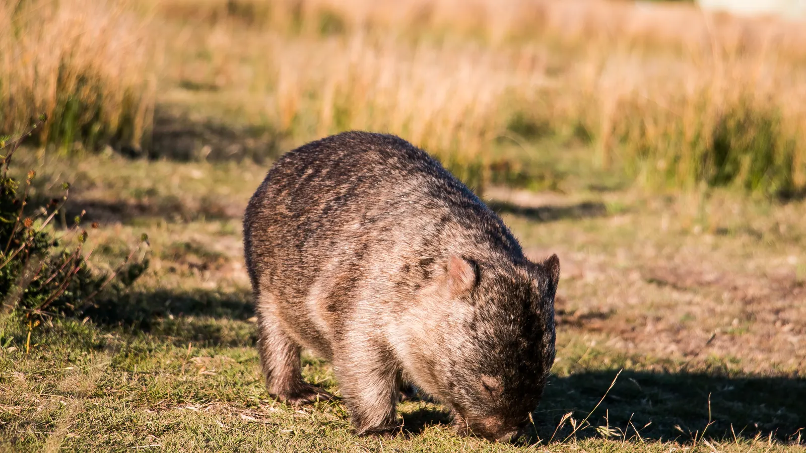
Fill up before the quieter stretches: between Eden and Orbost, and between Mount Gambier and Meningie, towns are smaller and further apart. Finish each day before dusk, when kangaroos and wombats are on the roads of Gippsland and the Coorong.
- Use the two-night stops
- A powered site each week
- Off the road by dusk
Plan the three weeks in AussieCamps
Add each night to a trip in AussieCamps and it keeps the stops in order, shows the driving distance and time for every leg and the whole journey, and gives the forecast for each stop on the day you plan to arrive. AussieCamps lists campgrounds, national parks, rest areas and dump points along the route from the park agencies and road authorities, with their facilities and fees.
Place details stay readable with no signal, which helps at Croajingolong and the Prom. The map, directions and weather need a connection. AussieCamps runs on iPhone.
- Every leg's time and distance
- Forecast for each arrival
- iPhone only
Places along the way
Check before you go
Rules and conditions change. Recheck the official source and the page for your exact park or campground before departure.
Take it on the road
Save the stops. Plan the whole trip.
Build an ordered route from saved places, calculate the distance and keep dates, notes and to-dos attached.